|
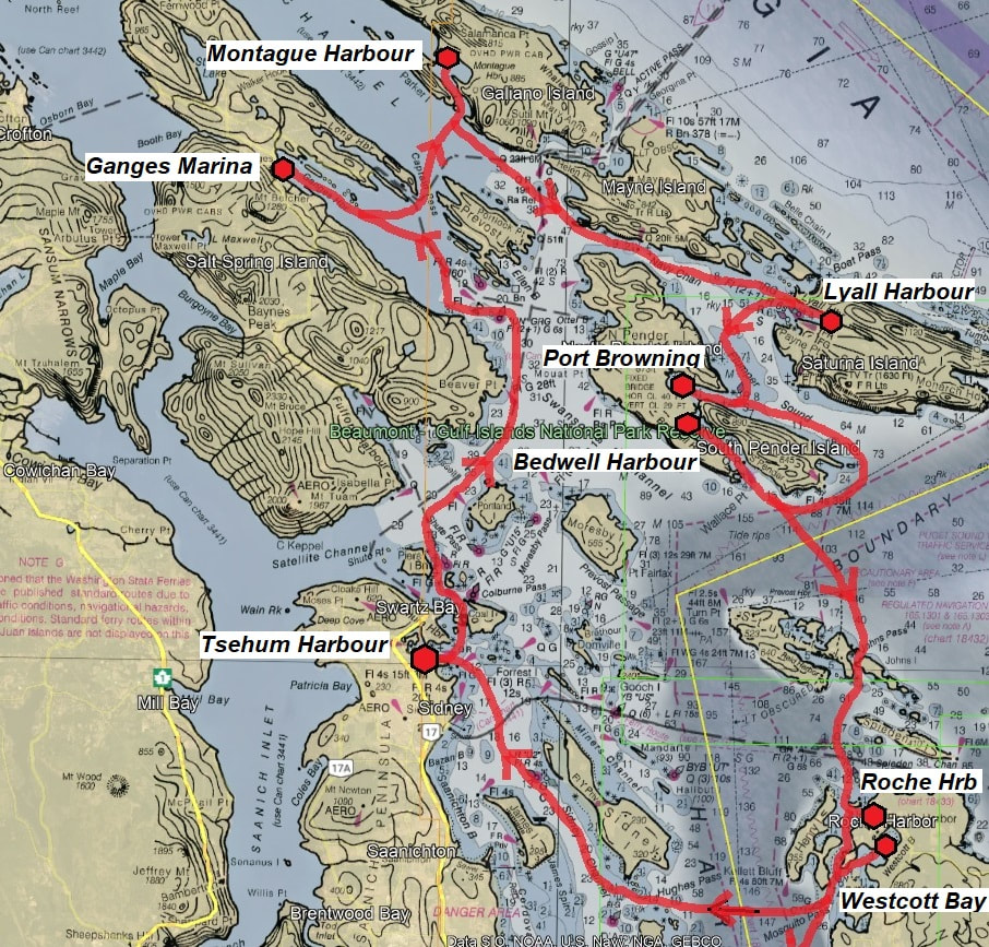
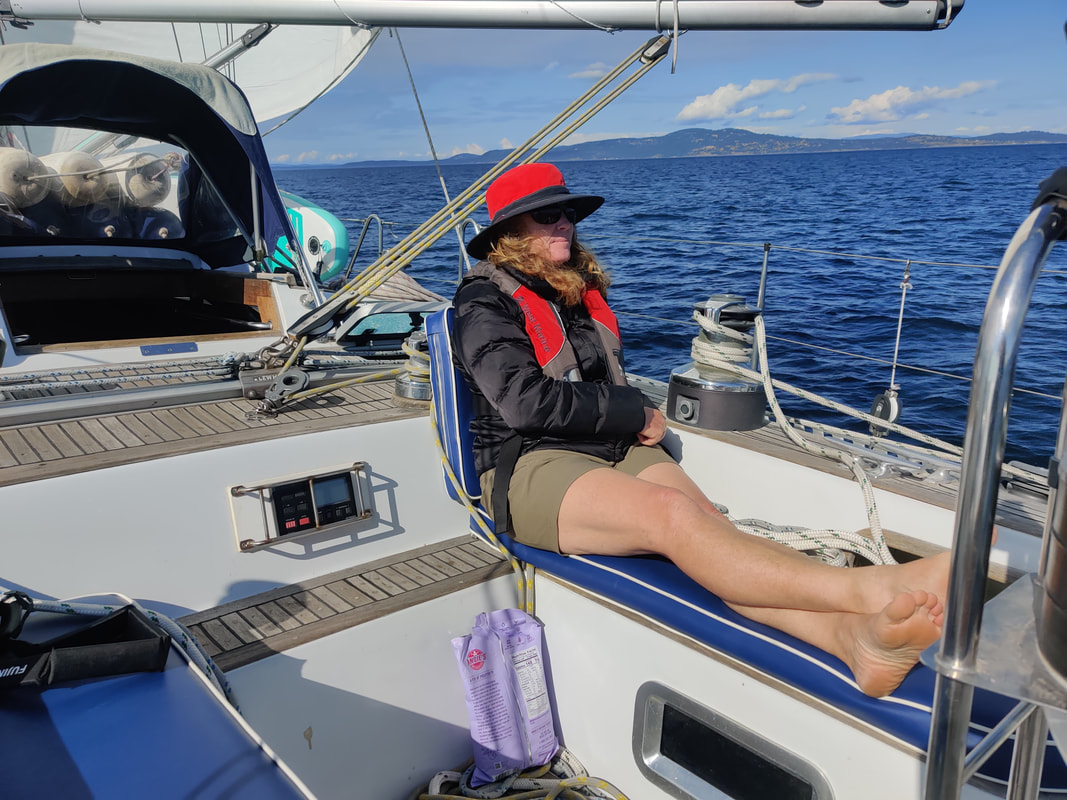
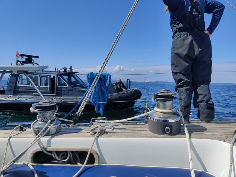
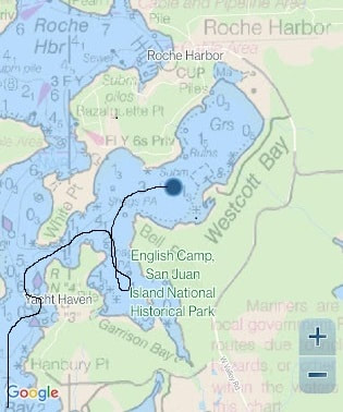
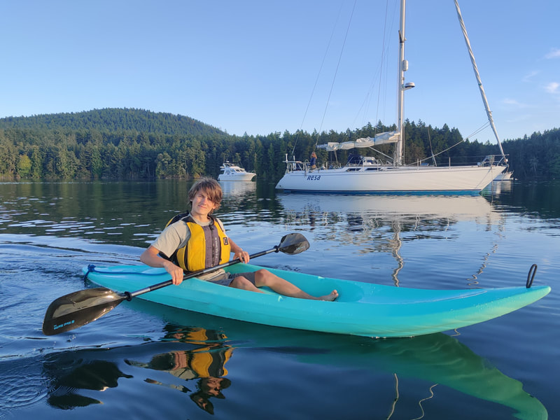
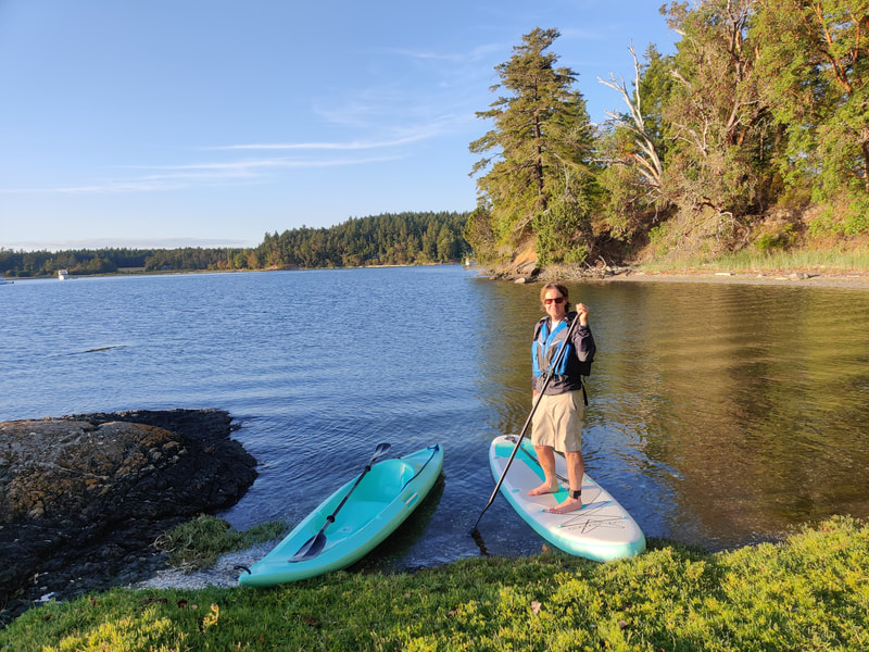
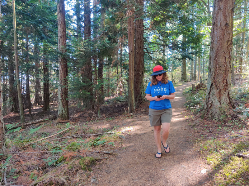
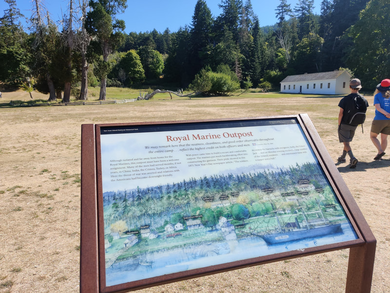
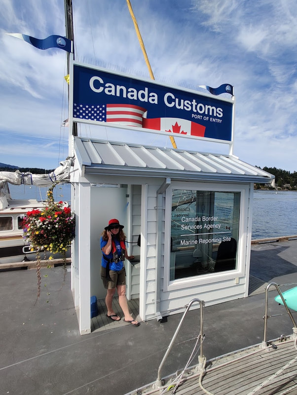
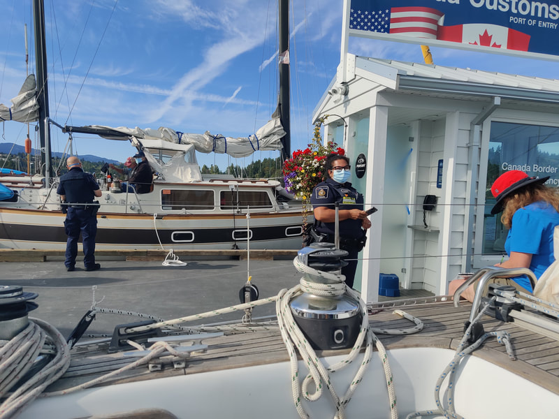
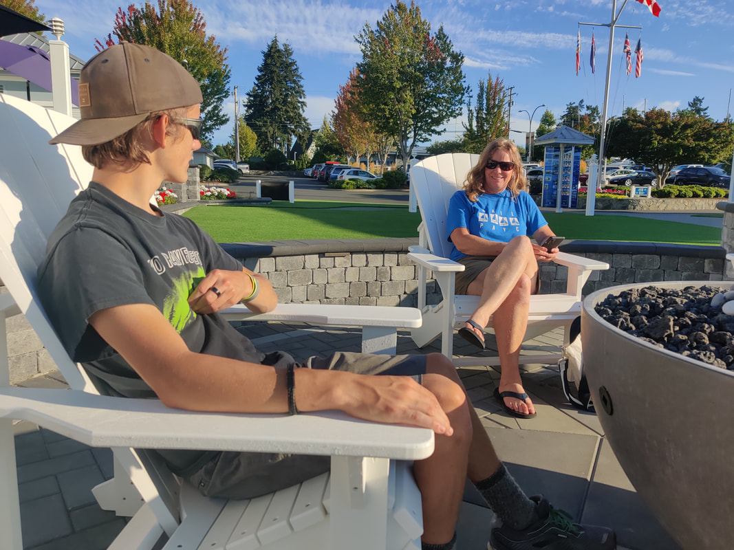
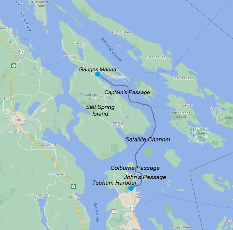
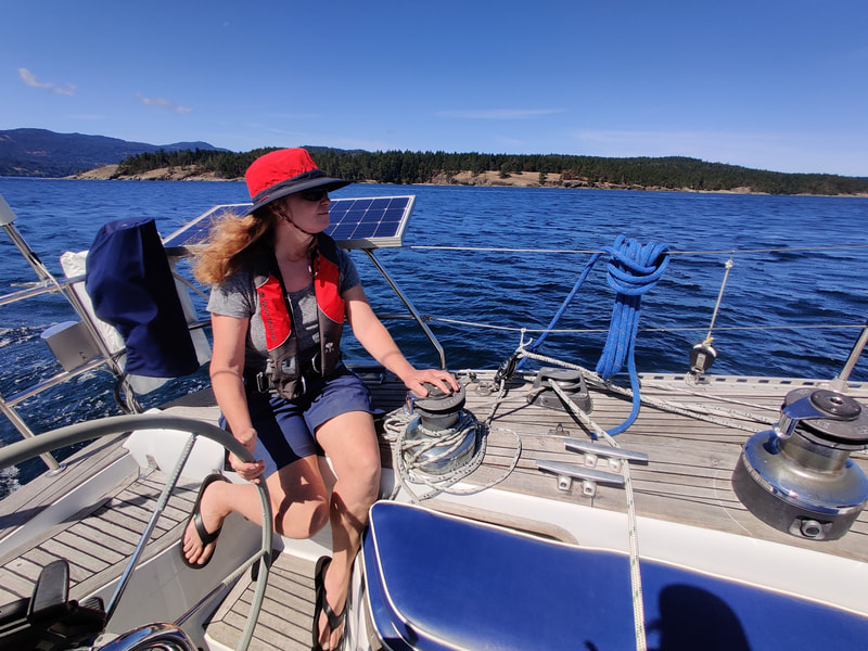
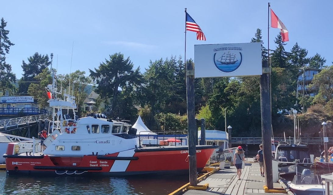
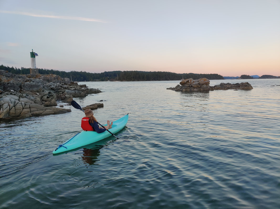
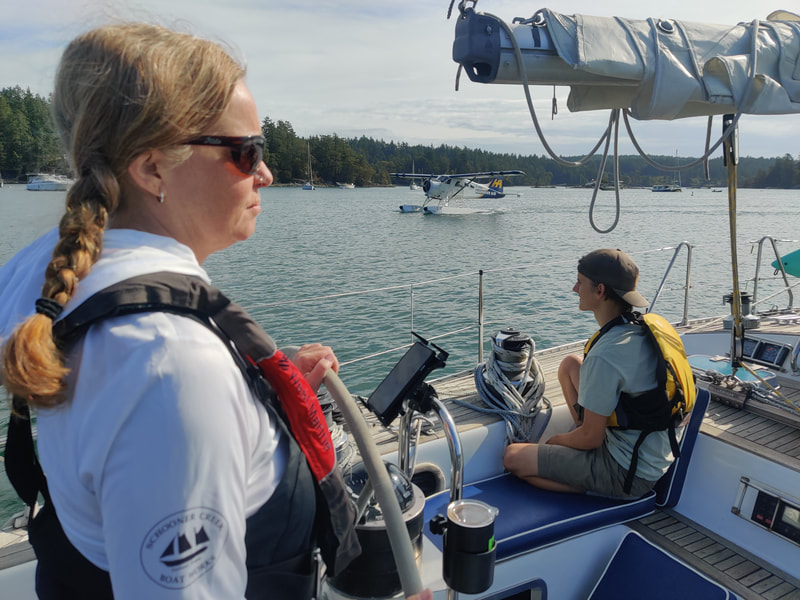
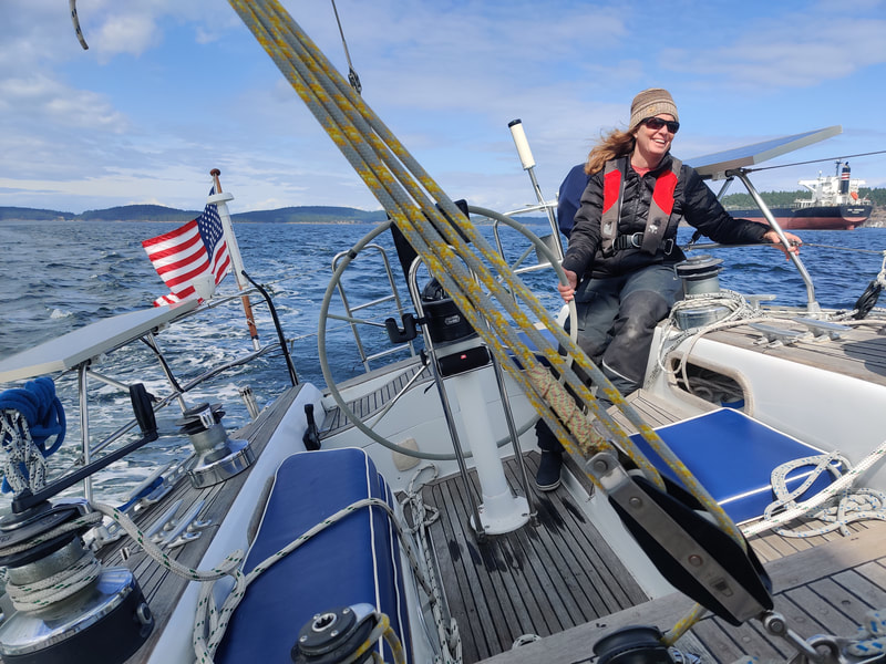
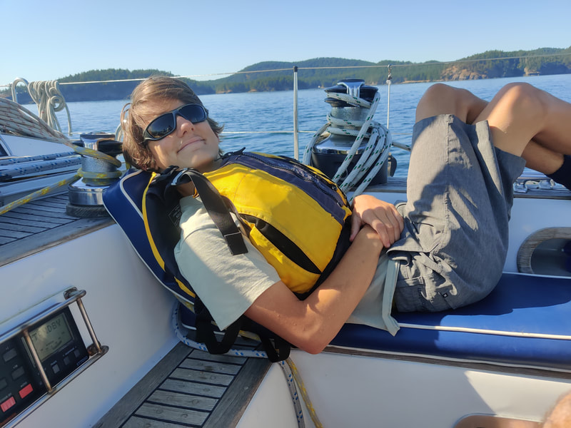
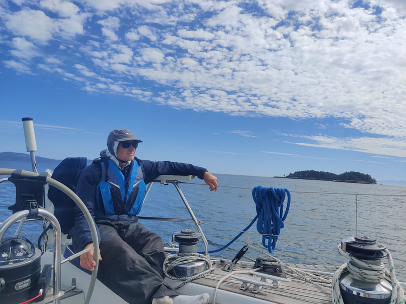
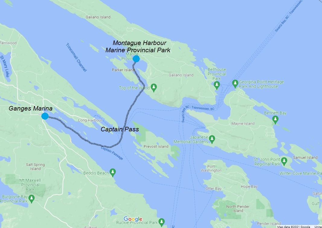
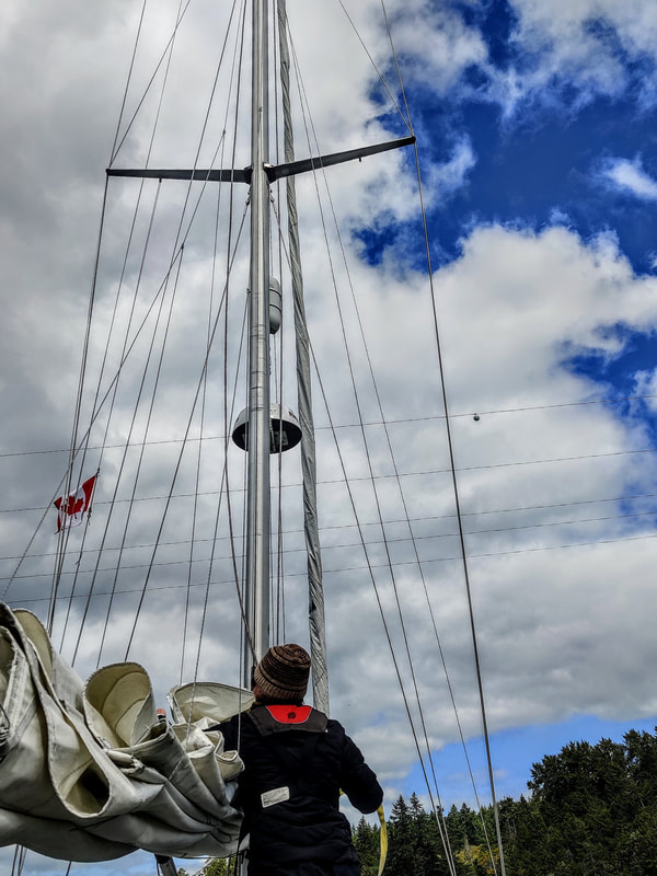
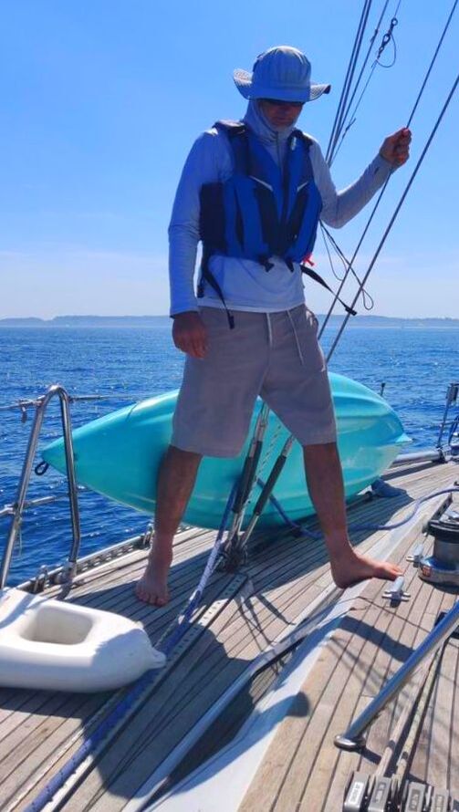
After 18 months happily assigned to daysails, beer can races and the occasional local passage (see A Sailstice to Crescent Bay - 6/2021), Erika and I were eager to visit our neighbors across the strait again. So when the news came that the border would finally open August 9th, 2021 we immediately began planning a cruise to the Canadian Gulf Islands. Due to the pandemic Canada created a new application called ArriveCAN to help travellers safely enter the country via auto, air or marine. Mostly the app was an easy, straightforward online form to register proof of vaccination and a recent negative covid test result. The biggest challenge was finding a location that administered the less common PCR/NAT test that wasn't a hundred miles away. After a bit of research Erika found we could get the required Canadian approved covid test at the local hospital if we were potentially “exposed” recently. It just so happened that we personally knew someone who came down with the virus a few days earlier. So, the minor ordeal was set for Thursday morning, August 26th. The day after getting our nasals swabbed, Erika, Loren and I departed for Garrison Bay, off San Juan Island (SJI). Rese's Route around B.C.'s Gulf Island We planned to wait in Garrison for our test results which would hopefully arrive in the next 48 hours. Per Canadian covid regulations, we had only 72 hours before the test expired. If for any reason we ran into trouble acquiring the results in time, no big deal, we would happily continue cruising the San Juans. We woke up in a calm and quiet Westcott Bay the following morning (Garrison Bay was too busy) to an email stating we were all negative. Erika downloaded the file and noted it in our ArriveCAN app. We were eager to set sail for Canada but luckily had plenty of time to visit the island’s charming little park known as English Camp, just a short kayak away. Crossing the Strait, Finally. Meeting up with RCMP, again! Resa's Route to Westcott Loren paddles the Bay Located in Garrison Bay, and now a national historical landmark, English camp was a British army settlement during the Canada/US boundary dispute, a.k.a. the Pig War, in the late 1800’s. After chatting about life in the 19th century with one of the park rangers we returned to Resa. We whipped up some sandwiches for lunch then promptly weighed the anchor. By 1300 Resa was sailing across Haro Strait, the narrow body of water that was finally chosen in 1872 to finalize the border of the two nations, ending the pig argument. Paddling to English Camp Hiking to English Camp Enjoying English Camp The northerly breeze filling Haro helped Resa make the 13 nautical miles into Tsehum Harbour's customs dock. Incidentally, It marked the first time in the last five border crossings that we weren’t “approached” by a “friendly” RCMP patrol boat asking about our “business” in Canada. After securing Resa to the Van Isle Marina dock, Erika stepped into the custom’s kiosk with all of our vital info at hand and dialed the border agent. She hung up about ten minutes later stating that the phone connection was horrible. While waiting for the agents we teased another American sailboat, also attempting to clear customs, that maybe we should do each other the service of drinking one another's alcohol before it was seized. When the officers finally arrived, maybe with their hackles up, they asked Erika “why she didn’t want to disclose the amount of food or alcohol aboard Resa” during the phone call with the CBSA agent? It was quickly recognized that her reported tone of defiance was a technical misunderstanding...yes, it was that frustrating phone. The officers chuckled, stating our paperwork was in order and that they really didn’t care how much fruit, vegetables, meat or alcohol was aboard, happily sending us on our way. Now officially in Canada we could sit back and enjoy a bit of B.C. Now what? Over the years our YC members suggested visiting Ganges on Salt Spring Island during it’s very popular Saturday artist and produce market. Very popular indeed. Moorage for Saturday night was completely booked but Sunday, on the other hand, was wide open. It worked out since a quiet marina was more appealing to us, at the moment anyway, plus Resa was already fully provisioned. We called it a day and requested a slip at Van Isle Marina for the night, conveniently located adjacent to the customs dock. After a pleasant walk around Tsehum Harbour we treated ourselves to take-out from a local grill and began planning tomorrow’s passage north to Salt Spring Island. Resa's Route to Tsehum Hrb Kiosk at Van Isle Marina Clearing Into Canada Waiting for our take-out from Sea Glass Waterfront Grill The following morning we made the short trip, literally a stone’s throw, back to the customs dock, also where the marina office, fuel station and waste pump are located. We wanted to take advantage of the convenient and, possibly, last pumpout station before entering the gulf islands where waste facilities, we understood, to be non-existent. Erika and I made quick work of the measly six gallons of yuck-yuck and shoved off. As Erika began motoring away one of the young dock attendants hastily hollered something at me. It turned out we owed the marina twenty dollars for the use of the pump-out equipment, surprisingly, regardless of the tankage size….what a deal for a mega-yacht, eh? Like a get-away car at a bank heist Erika motored off abandoning me at the scene of the crime. In a semi-confused state I profusely apologize for feeling like a thief, truly not knowing about the fee. “Yeah”, the polite attendant admitted, “most Americans don’t”. I learned that Canada is both pricey and laxed regarding marine waste…a muddy topic for another day. I also learned that Erika still loved me enough to circle around and pick me up, eventually. In hindsight we were glad the tank was emptied because a week later it was full, almost tragically full. I still remember saying “Hold it Loren, we’re almost there!” as we sailed across the border and into Roche Harbor to clear back into the US and empty our swollen potty tank. Update: back home we found out Ganges does have a pumpout station ($10 fee) located at the end of a “breakwater''. Use/copy the link below for more information regarding B.C. waste facilities and regulations. https://georgiastrait.org/work/cleanmarinebc/ BC ferry off our starboard bow. Resa's route to Ganges Sailing Satellite Channel By 1100 Resa was exiting Tsehum Harbour and making for Ganges Marina on Salt Spring Island. The 16 nm passage, passage being a keyword, carried us up through John’s Passage, west along Colburne Passage, north by way of the wider Satellite Channel, and finally into Captain’s Passage. It was in Colburne that we crossed paths with our first BC ferry, another signal that we were really cruising Canadian waters. We gave the impressive Coastal Renaissance, a 160m (524 ft.) passenger/car carrying vessel (vs Coho’s 341 ft.), plenty of room to clear our bow as it headed into Swartz Bay. Welcome to Canada. Dodging boats of all sizes was what we signed up for, after all It was summer, the height of the cruising season. After an hour of epic beam-reaching along Satellite Channel, the now fading 12-14 knot breeze compelled us to trigger the ol iron horse, turn to port and motor west into Ganges Marina. Making our way along the north shore of Captain’s Passage we observed the heavy boat traffic on the southside exiting the marina and heading to all points east I imagine…the tell-tell crowds of Saturday’s busy art and food market. Also on the approach to Ganges we surveyed the chain of islands along the northside of the passage labeled Sister islands, Goat island, and the Deadman Islands on the chart. Picturesque but also potentially precarious, these finger islands were dotted with sunbathers and hidden reefs, specifically the alarmingly named Money Maker reef. Arriving at a new destination, be it an anchorage or marina, is half the excitement of cruising. The other half being the journey, of course. Pulling into an empty anchorage or a quiet marina is a huge plus. Sailing into Ganges was new to us and had plenty of open slips, check, check and check! After securing Resa, we grabbed our face masks and walked up to the marina office. Erika confirmed one night moorage, paid the 1.75/ft Canadian ($1.30/ft = $50 U.S. for Resa ) and acquired the marina gate and bathroom/shower code. An important side note, when cruising the Gulf Islands plan not to fill or top off your water tanks. The islanders are experiencing serious drought conditions so the freshwater in the area is very precious. Let’s see what improvements La Nina brings for 2022. But at the time we were advised by marina staff not to use the water outlets for any reason, period. Fortunately Resa stores 320 liters (85 gal.) of potable water, enough water for three people for a month. Anyway, later that week we appreciated a rain squall, oddly enough, that hit us during the transit to Saturna Island, gratefully washing off much of the sea salt that built up on Resa. Welcome to Ganges Marina Boat and Plane Watching Self Tour was Relaxing Erika negotiating the many rocky reefs located in the harbour. After getting Resa all settled in ‘er temporary slip, Erika, Loren and I set to explore downtown Ganges. A short walk, literally 1000 ft, from the marina gate we encountered Harlan’s Home Made Chocolate and Gelato Shop. We treated ourselves to a scoop on the stoop then continued a self-guided tour of the self proclaimed “busy but quaint artisan village”. The present day “hamlet” looked to be taking a breather from Saturday’s lively events which was fine with us. Eventually our curiosity turned to, as usual, local history. After viewing a couple seaplanes taking off from the town pier we found a bookstore, purchasing a book about the people and their stories that originally settled these islands. The book, Salt Spring Island: The Story of an Island by Charles Kahn, included many fascinating narratives that joined us along our short journey around B.C.’s Gulf Islands. To continue our own story, Erika and I launched our kayak/paddle board and surveyed the shorelines around Ganges until sunset. The following morning we charted a route to Montague Harbour off Galiano Island. Departing Ganges Marina Crossing Trincomali Channel Loren Chill'n in the cockpit Island hopping in the Gulf (or the San Juans) can mean a five minute or 5 hour passage. That’s really the beauty of sailing an archipelago. So many places, in so little time. Oh, what to do. The seven nautical miles from Ganges Marina to Montague Harbour was one of the shorter hops we encountered on this particular cruise. The nearest distance separating the two islands is only about a mile. Eighty feet separate N. Pender and S. Pender. Islands, Thetis and Penelakut even less. Hey, who needs a boat. Wait, scratch that. Check out time was 11a.m. but we were anxious to get back on the road, er…water. We departed Ganges Marina around 10 a.m leaving the harbour airport to starboard and one of it’s seaplanes landing to port. Loren got a kick out of a seaplane so close to Resa. Watching seaplanes always brings me back to Desolation Sound in the 1970/80’s. My family and I would sail to West Redonda Island to visit our Uncle’s home in Refuge Cove and, on occasion, depart via a floatplane. I believe it was the likes of a Cessna 180, a tight four passenger floatplane, especially with our luggage, but the thrill stuck with me ever since. We continued motoring down Captain Passage, keeping the Sister Islands off our portside then making the ninety degree turn through the small pass between Salt Spring and Prevost Islands. As we entered Trincomali Channel a nice northwesterly met our portbow. Not passing up a chance to sail, we set full main and genoa. After an hour of beautiful close reaching we steered Resa between Julia Islet and the southwest corner of Galiano Island. After dousing the sails, we motored Resa past Julia Islet and up a small channel. Halfway towards Gray Peninsula an overhead electrical wire was spanning the waterway. A strange phenomenon almost always occurs when approaching a bridge or the like underway. Even bridges as high as the Golden Gate (220 ft. of clearance), look eerily like we’re going to hit our mast. So, being in unfamiliar territory, we triple checked the Canadian chart and still proceeded with trepidation. Resa’s mast measures 65 feet tall, the charted wire height was a safe 125 feet above the high water mark. But the actual difference is never appreciated until well past the real or imagined hazard. Well, with that resolved, we continued on to Montague Harbour. As we entered the harbour we noticed a scattering of boats both to port and starboard. Our intent was to visit the marine provincial park to our left so we toodled that direction to scout it out. After a couple passes in and around the area we settled on a spot close to the beach and a seawall. The tides in the region reached nearly 4m (13ft.) at high tide but we were very close to the bottom at the moment. Erika and I checked the tide tables and found the tide was at its lowest point and would not fall any lower in the next couple days. Now that Resa was safely secured to the mooring ball we could begin to enjoy our surroundings.
0 Comments
|
AuthorA UCSC graduate in Marine Biology, Keith holds a 100 ton USCG Capt. License and is an ASA/US sailing certified instructor. Archives
March 2022
Categories |


 RSS Feed