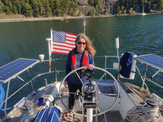
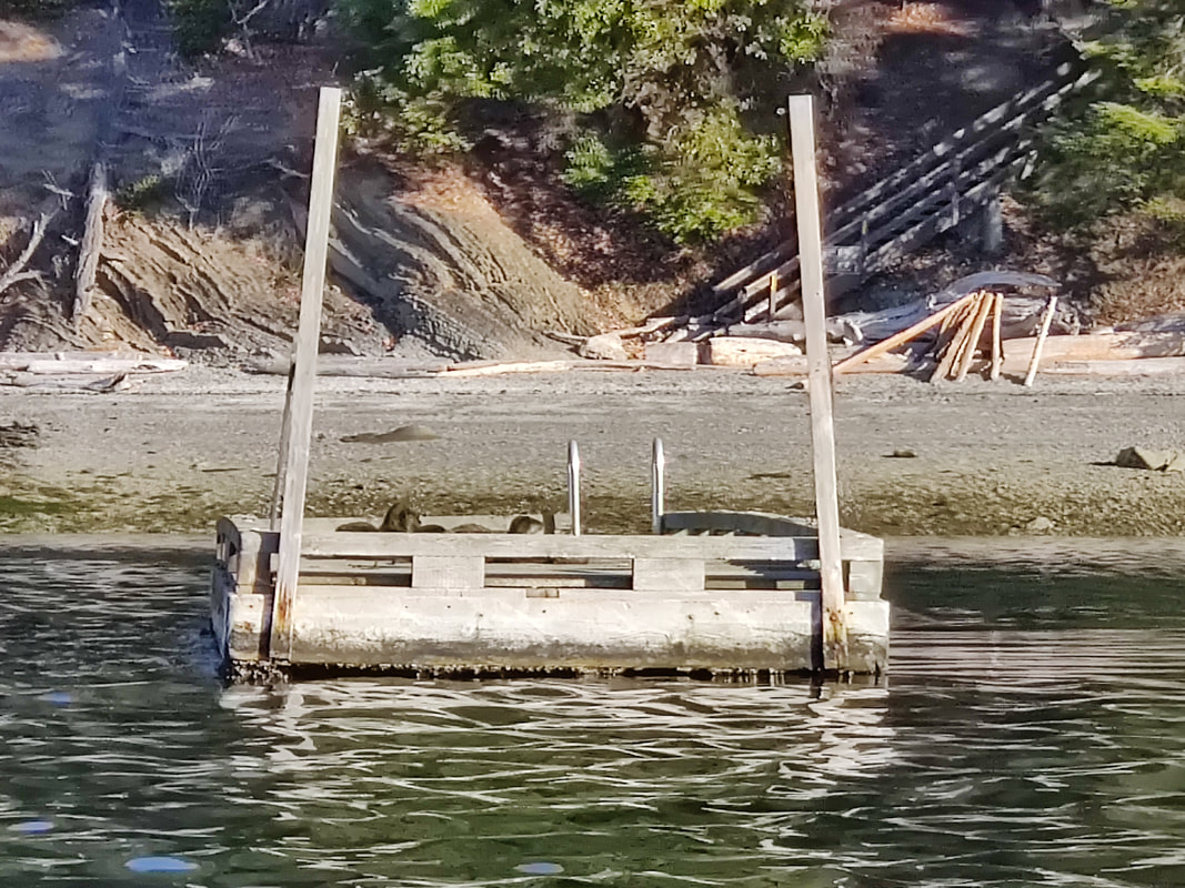
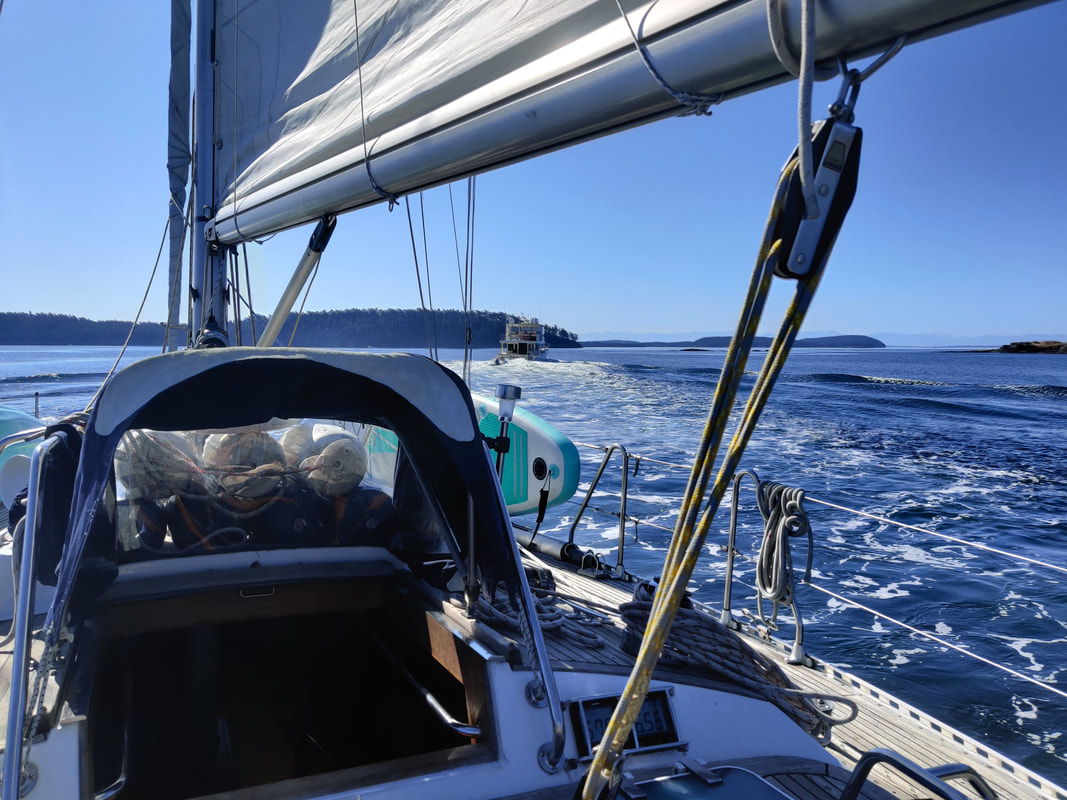
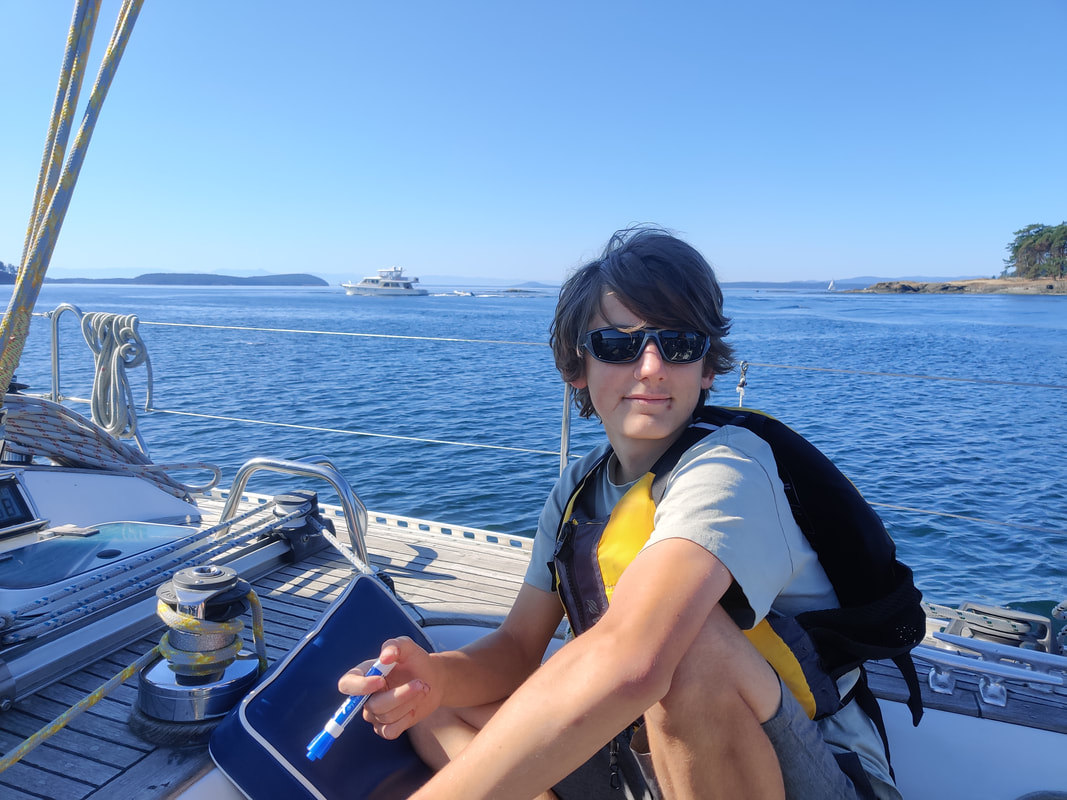
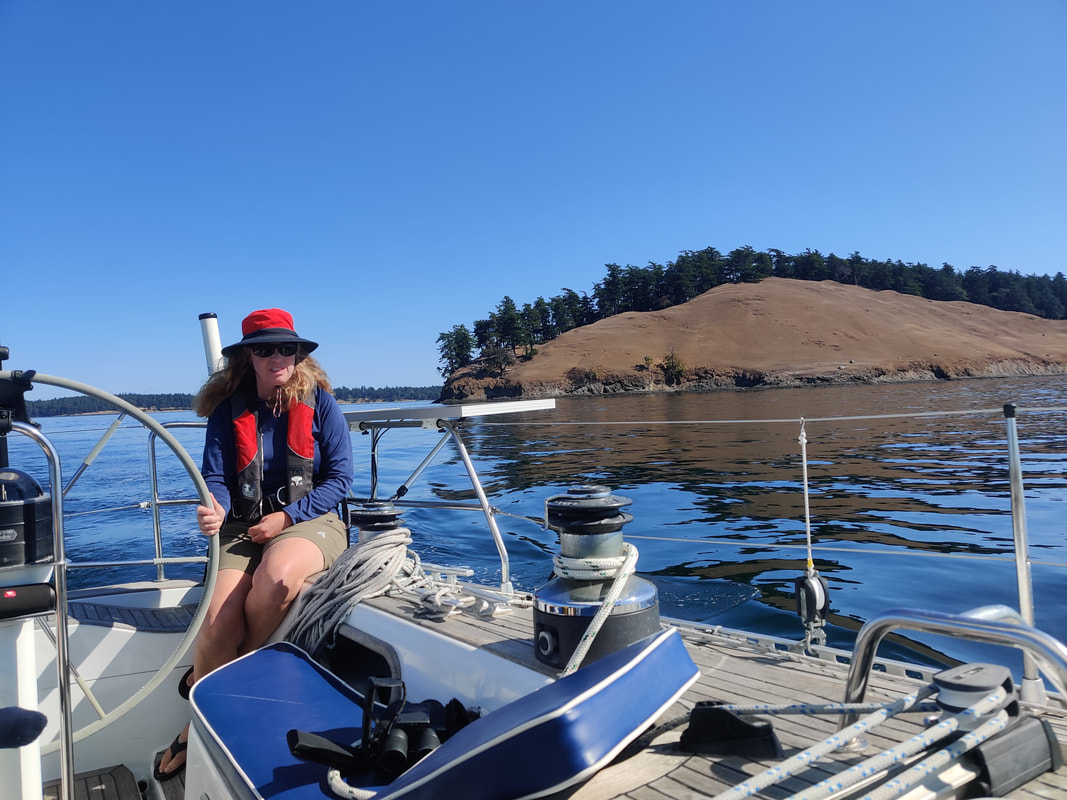
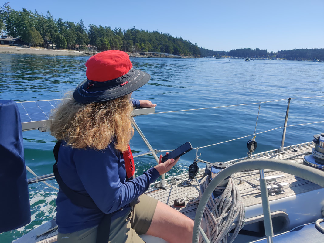
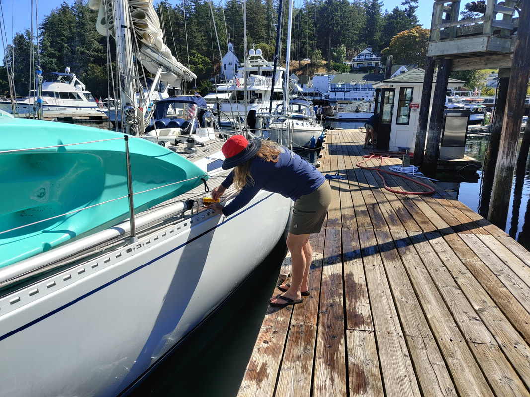
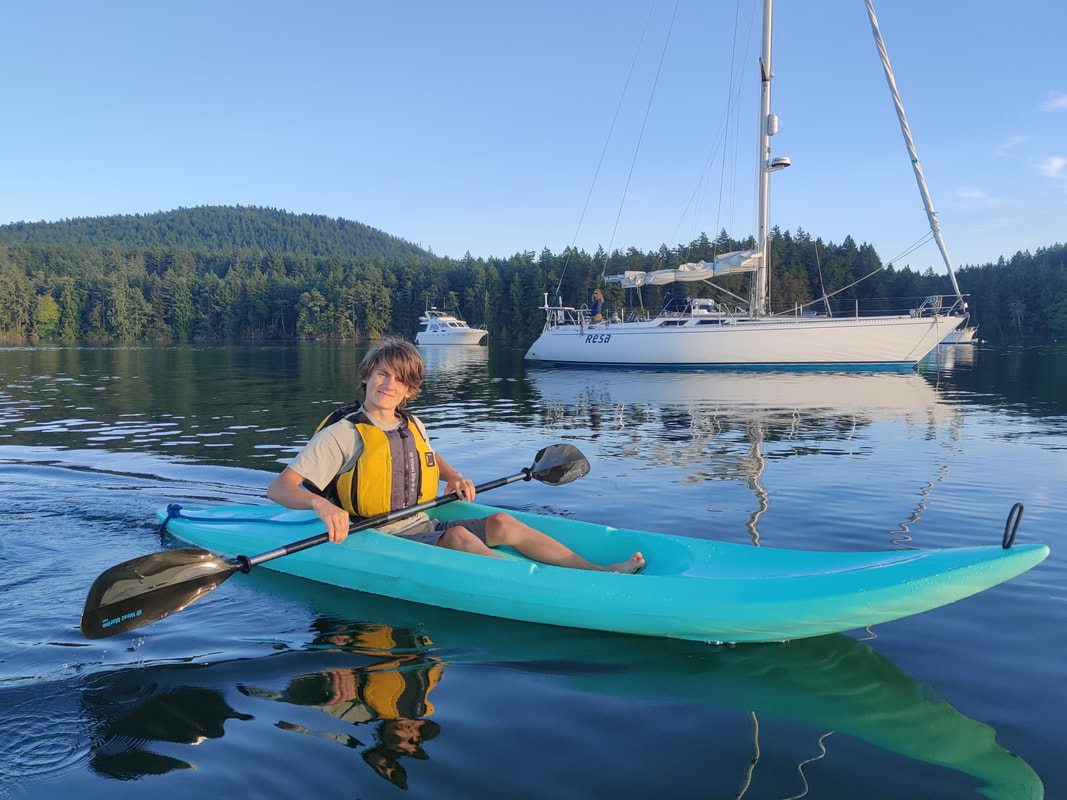
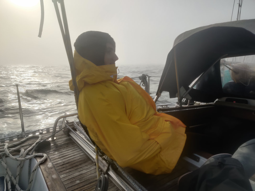
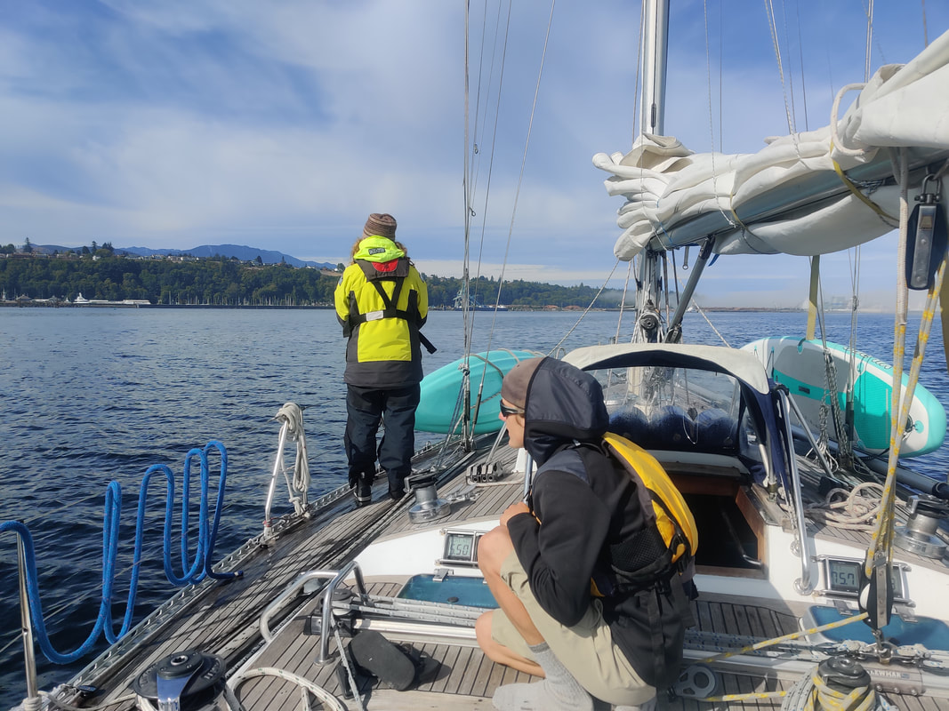
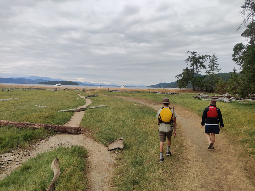
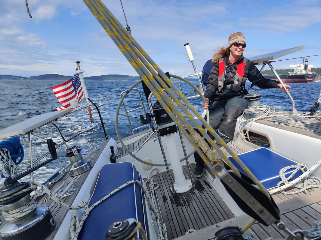
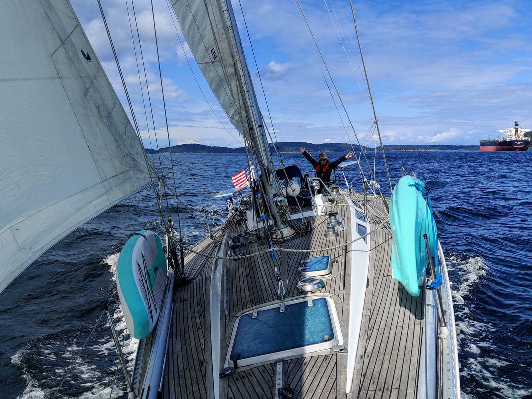
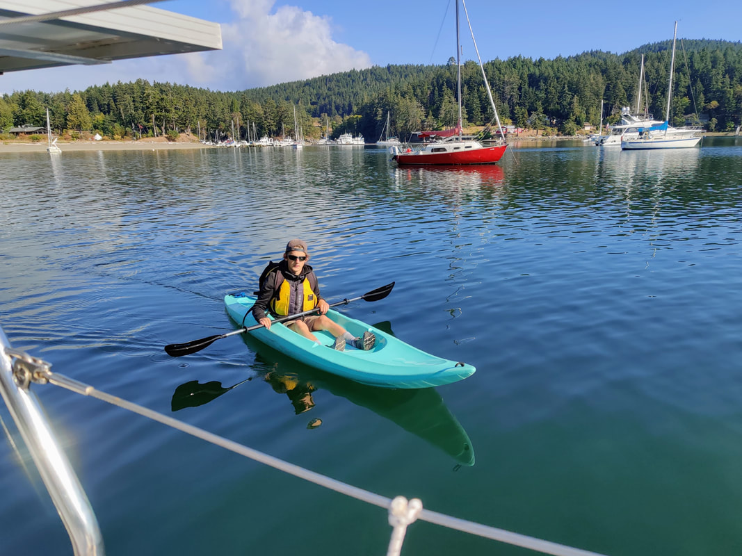
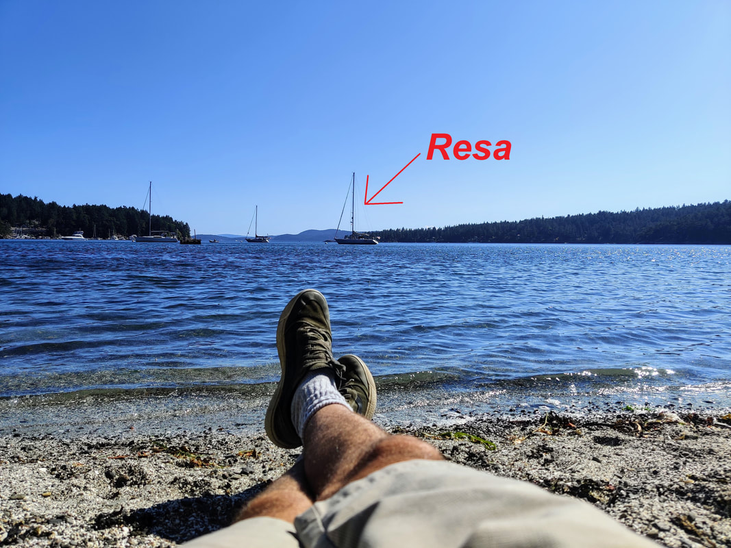
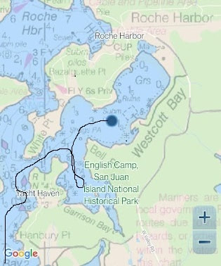
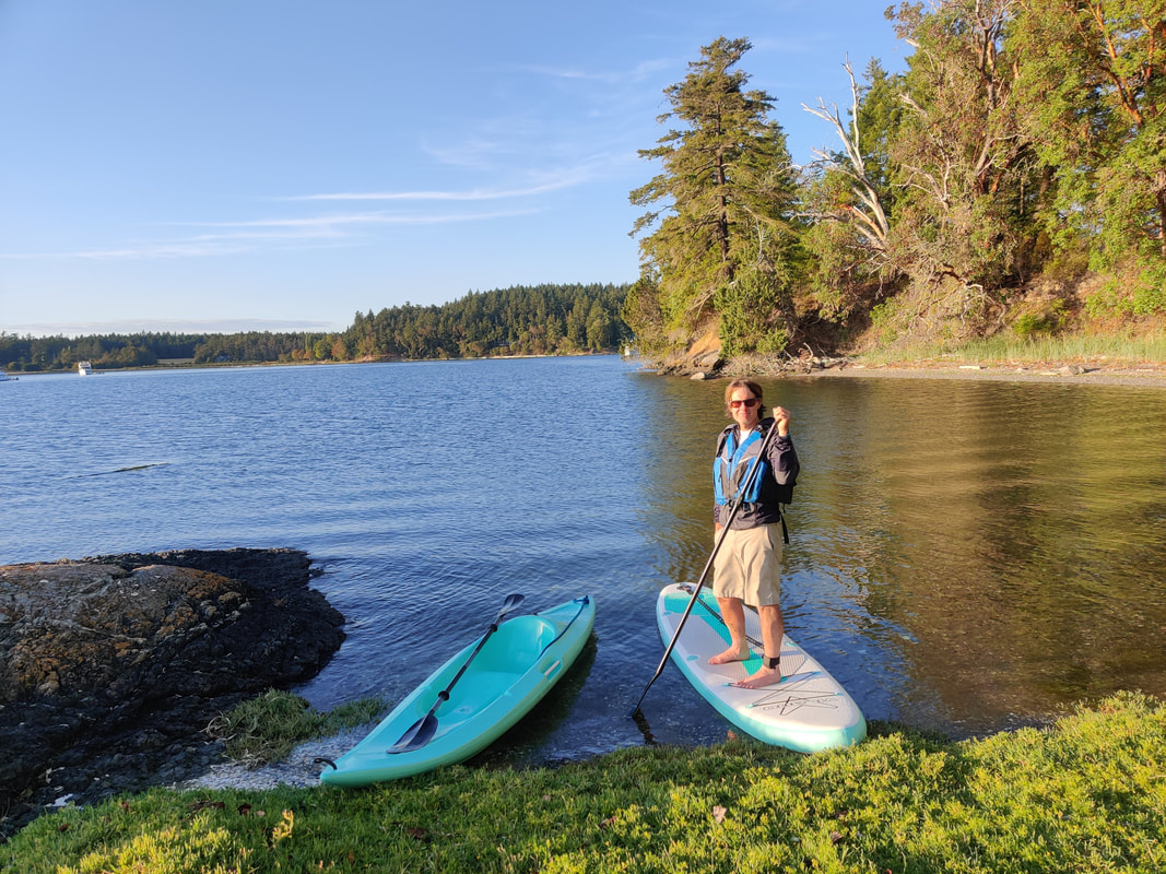
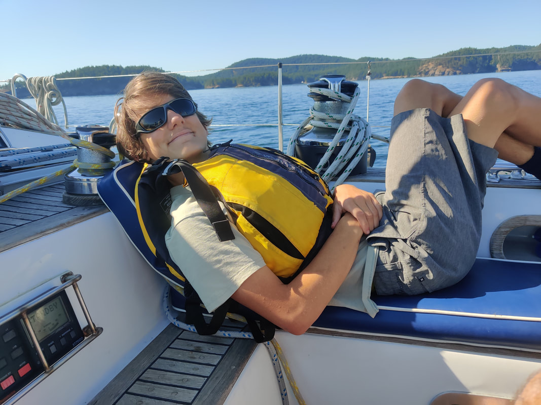
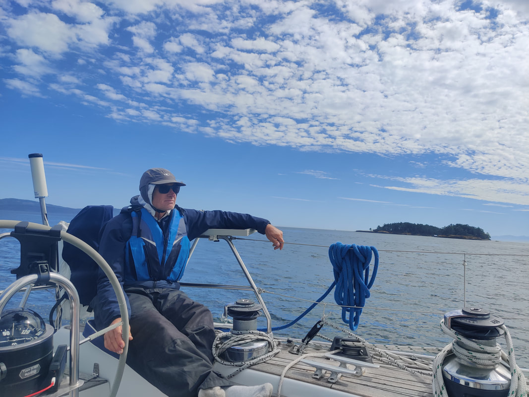
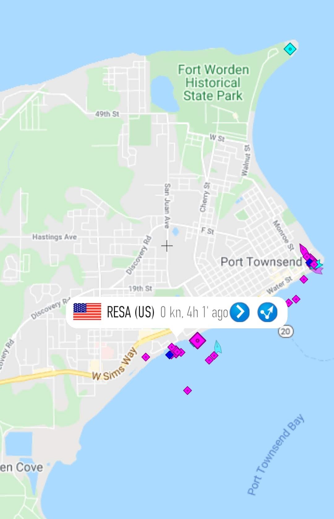
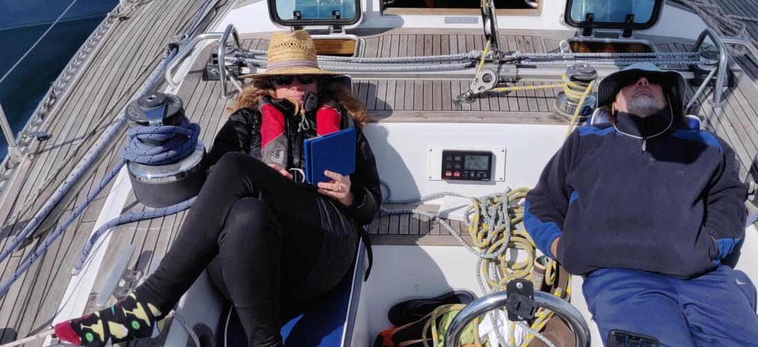
 In Part One we departed Port Angeles to explore the recently opened Canadian waters that had been closed due to Covid. A week later it was time to head back to the states and close our circuitous venture. The nearest port of entry/US customs was located in Roche Harbor on San Juan Island. We were in no hurry. Roche lay only ten nautical miles south of Bedwell/Beaumont Park, our last stop in Canada's Gulf Islands. After breakfast, Loren paddled back to the beach to pick up where he left off exploring the previous day. Erika was back on her reader. I sat in the cockpit watching a couple of combative river otters on the swim dock. I have to say it was quite a match-up. The 10 X 10 swim dock acted like a wrestling ring on the water with me as the only spectator. Their playful quarrel was full of rolling acrobatics, more graceful than scrappy. At one point otter A actually shoved otter B right off the dock. It didn't stop B, presumably the underdog, shooting out of the water like a guided missile and back into the ring. Siblings, brothers, probably. Erika and I don't know anything about that (sarcasm). Beaumont Isl. National Park - Loren fueling up - The Wrestling Ring By late morning we cast off the mooring ball and bid Bedwell adieu. The weather was amazing. Our leisurely sail south across Boundary Pass was both pleasant and quite appropriate, Here we officially concluded our time in Canada and crossed back into US waters. Next stop, US Customs. We charted our passage to Roche via Johns Pass. Resa has cruised to Stuart Island in the recent past. We participated in PAYC's flotilla at Reid Harbor and again at a later date, by ourselves in Prevost Harbor. Both anchorages and hiking highly recommended. Alth0ugh watch for that hidden reef at the entrance to Satellite cove (pic). I witnessed a hard grounding by a small sailboat at that spot. The boat was motoring at an average clip then suddenly stopped, it's mast lurching forward with a rude, abrupt shudder. An uneasy feeling to see and experience to say the least. The boat eventually backed up and anchored in safer waters without any apparent damage. But I'm sure both the keel and the passenger's nerves were a bit mucked-up. Heading to Roche, we cut into Johns Pass, a narrow gap between Stuart and Johns Island. At the tightest section of the pass a large power boat squeezed by us, leaving a large wake... and us behind it. It was definitely in a rush which became obvious when it began to cut the corner south of the pass at full speed, est. about 12 knots. We assumed the captain had local knowledge with regards to the reefs depth and location and I actually reconsidered our original plan to pass far to leeward of the underwater ridge. Not a moment later we watched when the 60 footer threw it's gears in reverse, creating a large froth of churned up seawater astern. It's pilot house lurching forward as the hull came to a stop. But this time, as far as we could discern, there was no contact with the reef. We think the captain "woke up" just in time to read their rapidly decreasing depth instruments and panicked, I imagne. They promptly turned to port, steering around the hazard and continued west. It was obviously not their best moment but its really just another day messing about on boats. Love it or not. 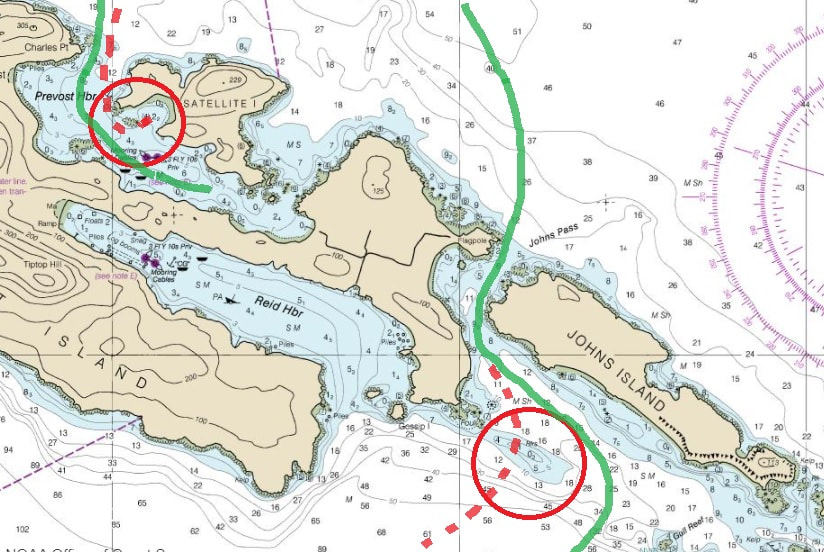 Careful when cutting corners when cruising the islands. -Johns Pass' Narrow Cut - The yacht that said "oops" (background) - Spieden Island As Resa left John Island astern the wind disappeared completely so down went the mainsail. The last three or four miles would be a motor ride across the now glassy Spieden Channel. To our port lay Spieden Island. Privately owned, Spieden is unpopulated by humans. I would recommend you get in for a closer look, or pull out the binos, and enjoy viewing its population of exotic sheep, deer and probably a group of Steller sea lions basking in the sun on the south facing side, but watch for the charted reefs, rocks and islets along the west end. Loren Chill'n in the Cockpit Erika working on the CBP app. Ugh, broken pump Plan A was to check back into the states using the mobile passport control app or CBP and use the waste pump-out facility at Roche. Erika began our check in process via the app but ran into issues. She called the Roche customs office and they suggested, since we were here anyways, just re-enter in person. So now we had two reasons to pull into the local marina. So, as I mentioned previously, there were no pump-out stations available along our route. Again, Canada has a relaxed poop (pun intended) policy regarding waste management. This quote from a Canadian government website sums it up, "In Canada, it is illegal to dump sewage from boats within three nautical miles of shore (unless pump-outs are not available, and you cannot get three miles off shore)." Basically it states we could legally dump our waste anywhere along our Gulf Island loop. But we chose not to and our tank was just about to burst, hence our perfect timing to use Roche's facility. The marina was uncomfortably busy so back to Westcott Bay for the night, just a tootle down Mosquito Pass, to officially close the loop. Our hook was set by one o'clock. By three we were hiking the Bell Pt. perimeter trail near English Camp. By four o'clock, Loren and I were exploring Westcott Bay aboard the kayak and SUP while Erika relaxed in the cockpit with her reader. I wanted to check out Westcott Bay Shellfish Co. since we've been hearing how trendy it has become but a raft of harbor seals nearby caught our, okay, my attention instead. Loren and I had a really nice paddle around the bay until sunset. Bell Pt. Trail Relaxing on Resa Paddle Time 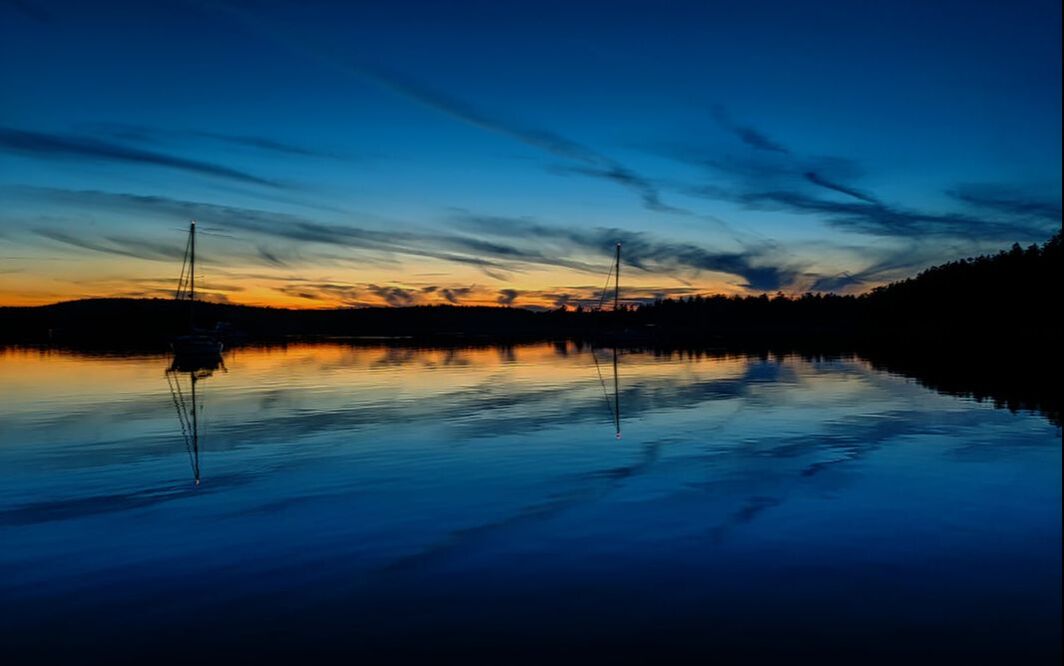 Sunset in Westcott Bay - Sept. 2, 2021 The next morning we woke up really early to catch an ebb tide down Haro Strait. On the bright side we watched the sun rise and by 6am Resa was free from the bottom and heading home. The day was expected to warm and the wind blow. With sails full Resa blasted down Haro at over 9 knots. We were making great time but the sunshine didn't last. As we approached Juan de Fuca we also approached a wall of thick white fog. We triggered the radar and running lights to see and be seen in the dense cloud. The almost total lack of visibility lasted until we pulled into Port Angeles harbor. The abrupt ending of fog revealed a beautiful sunny blue sky, a first-rate meteorological welcome back home for sure. Maybe 30 feet Visibility Loren on Fog Watch Home again 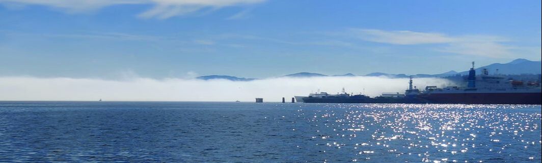 The wall of fog we left outside Port Angeles
0 Comments
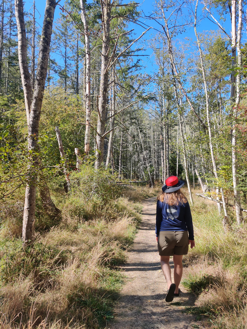
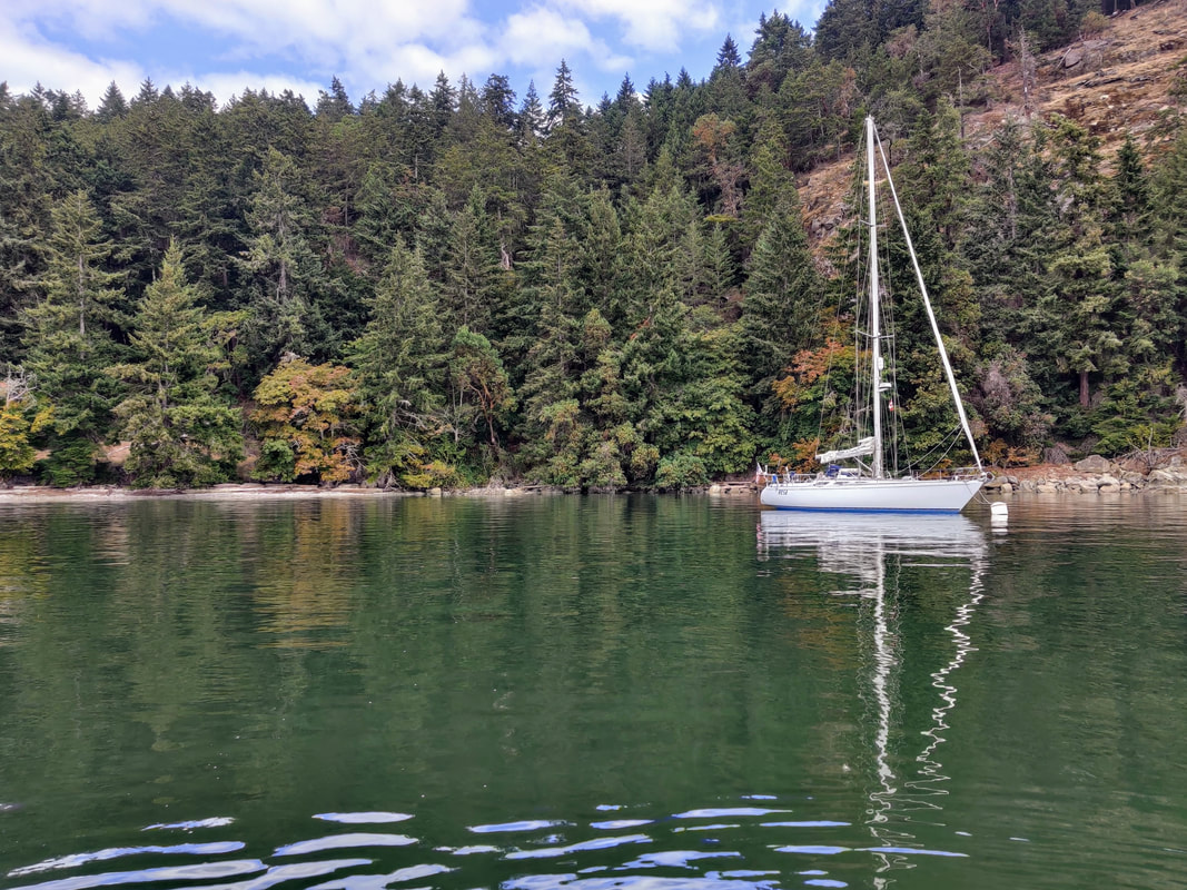
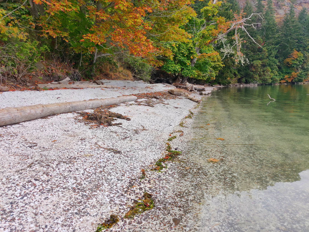
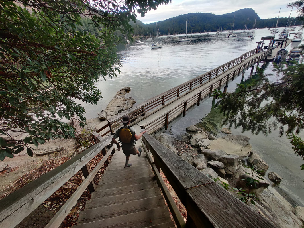
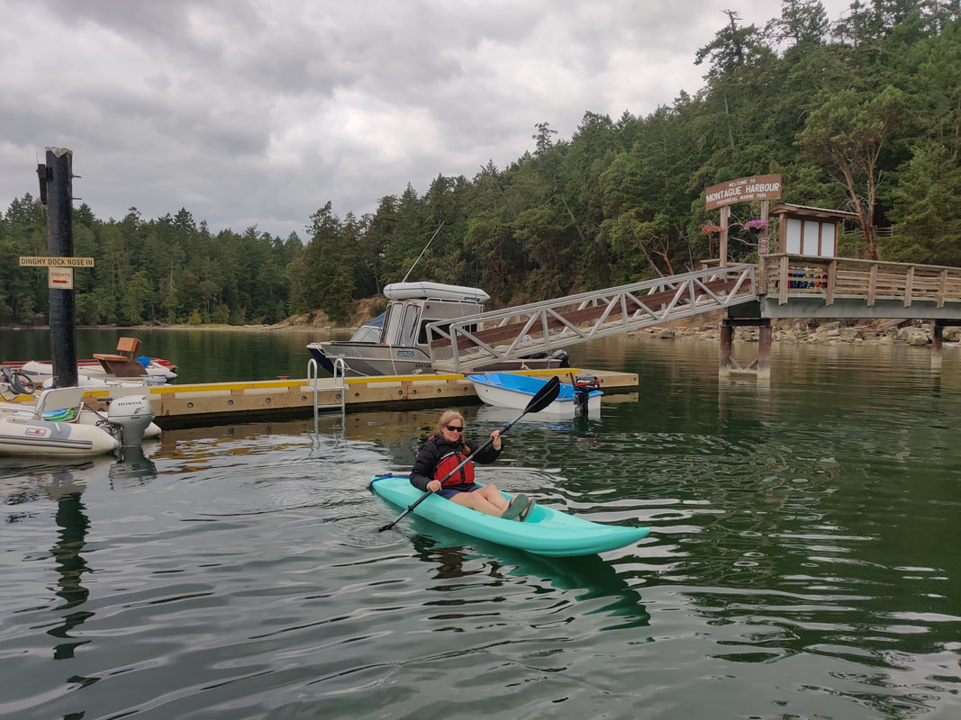
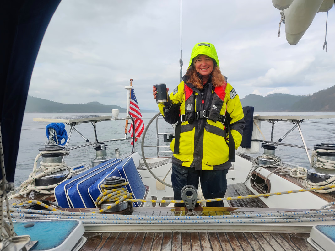
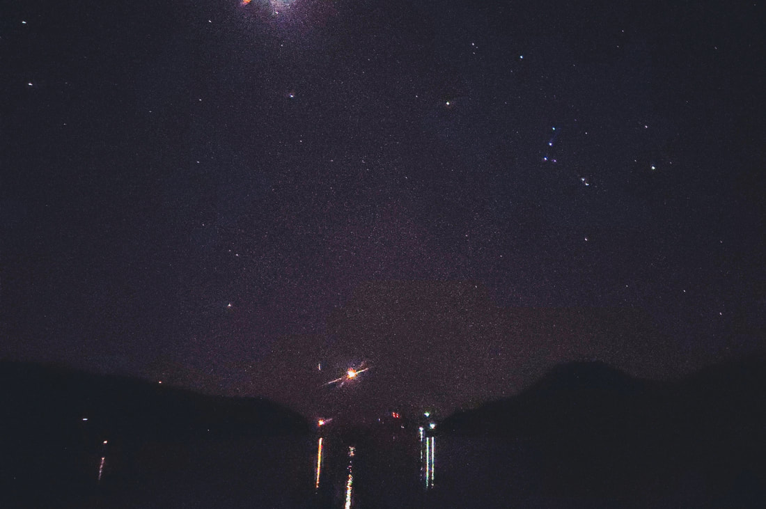
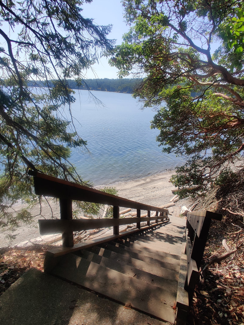
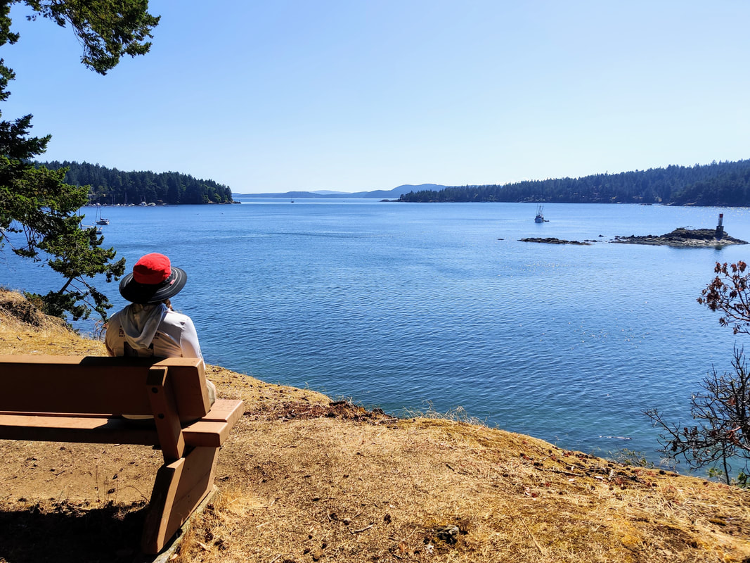
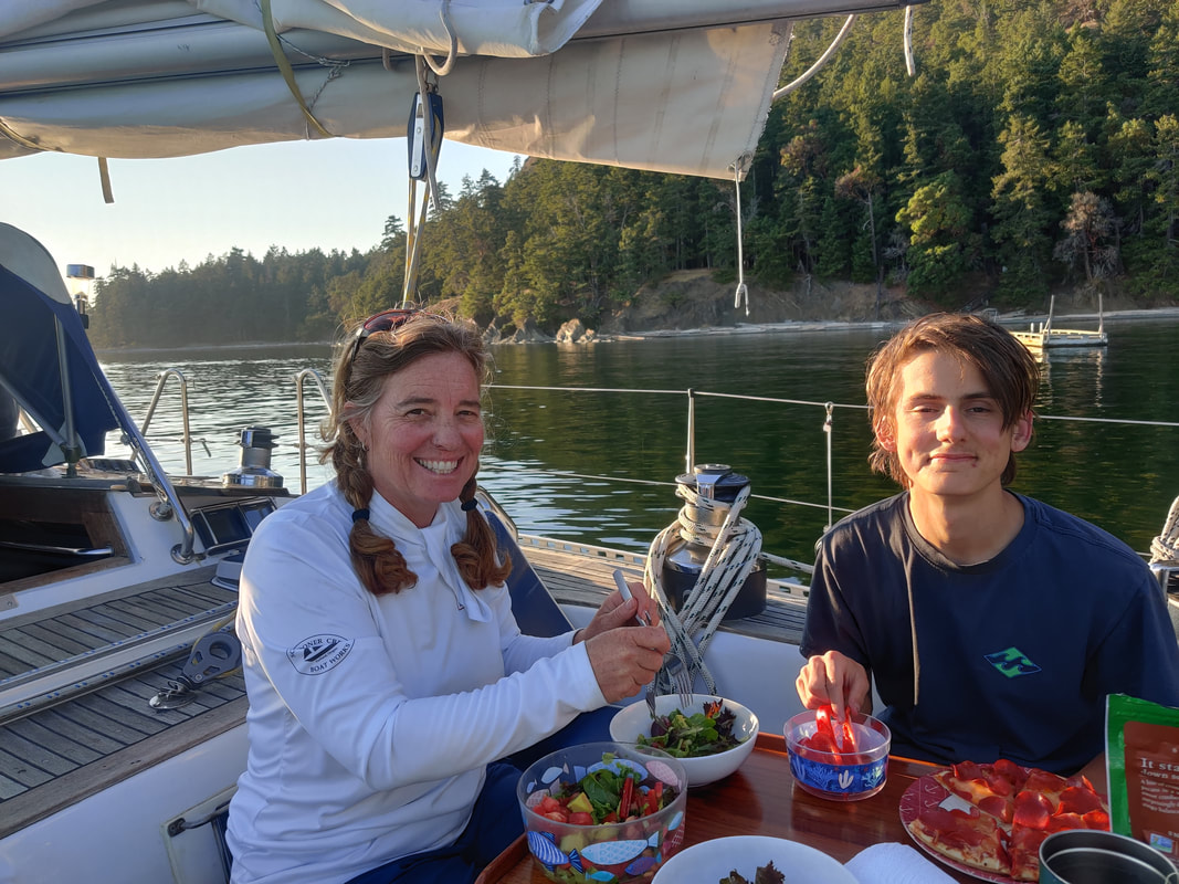
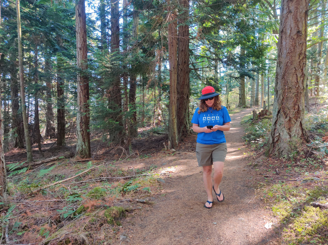
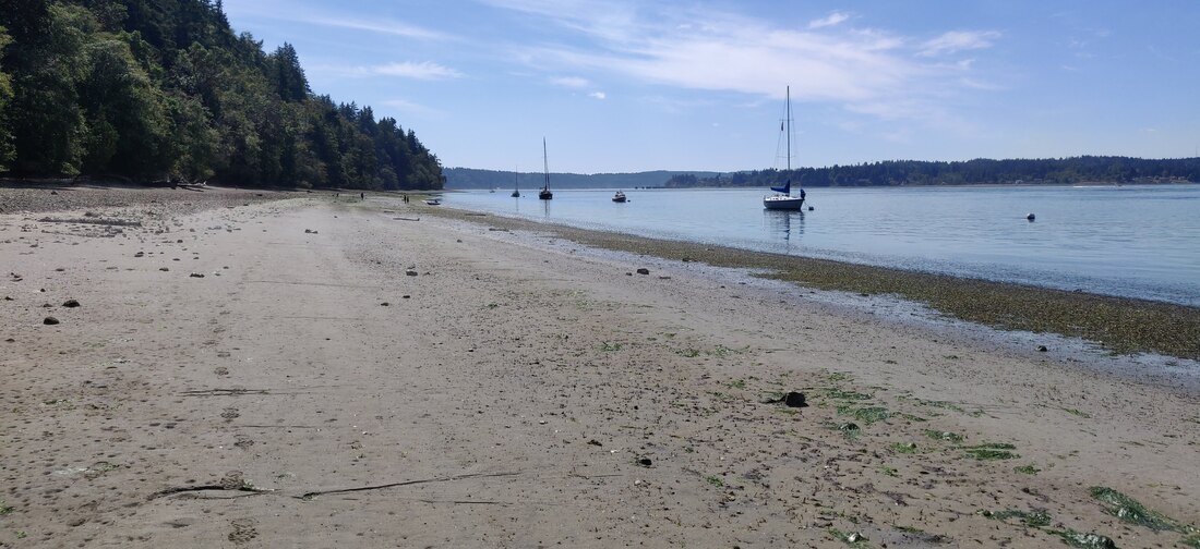
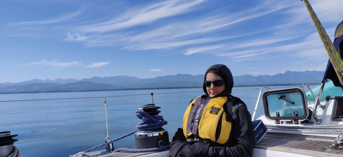
Recall in Part One, on August 27th we departed Port Angeles to explore the recently opened Canadian waters that had been closed for about 18 months due to Covid. On day four, we found ourselves pulling into Montague Harbour off Galiano Island. Already, Resa had buoyantly carried us halfway through our trip around B.C’s Gulf Islands. 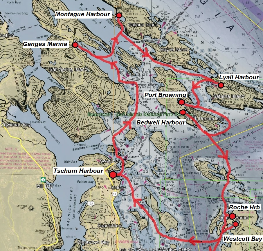 Perhaps like many amatuer marine explorers, I get a visceral sort of excitement or anticipation when approaching a new coastline or anchorage. Turning into Montague, the oldest park in the Gulf Islands and a popular Canadian destination, I still had the feeling of thrill and discovery. After slowly motoring around the mooring field, surveying availability (about 15 of 40) and sufficient depth (10 ft. would work) we ended tying up to buoy #1. The depth instrument displayed approximately 11 feet of clearance at the time. Mooring so close to the cliffside put us right over a shallow rocky escarpment but closer to the beach and less neighbors. After triple checking the tide chart we confirmed that Resa’s deep keel wouldn’t go bump in the night. Time for some R&R and adventure shore-side. We paddled our tiny tenders over to the well built “government” dock, walked up a narrow flight of wooden stairs to the park entrance and deposited our registration form and moorage fee ($12 CA) in the dropbox. It was a short hike through a dozen or so campsites to the other side of the peninsula. Remarkably, after being used as a midden for thousands of years, the beach is made up entirely of broken shells. It made sense that my beachcombing Canadian grandmother had a history of visiting this popular area of Galiano Island. After finishing the terrestrial loop around the park, we boarded our paddle boats and made for buoy number one, Resa’s temporary address. It had been balmy in b0oth Westcott and Saltspring. But August was wrapping up and by the time we made it to Montague layers were back in vogue. The next day Resa dropped the mooring ball and sailed back in Trincomali Channel with the western entrance to the busy Active Pass in front of us and a dark, rainiy cloud behind us. After giving way to two BC ferries and a tug'n tow we continued towards the entrance to Navy Channel. An hour later, in Plumber Sound, the rain cloud finally overtook us, giving Resa, and our foulies, a well earned freshwater rinse (picture). Loren was happy as a clam reading his book below where it was warm and dry. Smart guy. Our intention was to anchor in Lyall Harbour off Saturna Island. In fact we did... but not for long. Near the end of the long narrow inlet we found a peaceful, tree-lined anchorage with room for Resa. Unfortunately we misunderstood there was access shoreside to stretch and explore. Oh, well. The day was young, the sun was back and the wind was filling in. Time for Plan B, weigh anchor and sail to Port Browning. After an awesome southerly reach down Plumber Sound we turned west into the long finger inlet. Probably with a bit of Lyall mud still attached, I dropped the anchor about a 100 yards off Hamilton Beach. The anchorage wasn’t crowded per se but making sure Resa had plenty of swinging room between her two new neighbors took some adjusting in both position and scope. Once settled, Loren B-lined to the beach. He had had enough lounging around and just wanted to dig holes and comb the sandy shore. Two whistles from mom or dad and he would head back to Resa for dinner. Back on Resa we settled in for a nice, light dinner supplemented with smoked salmon we picked up in Ganges. By 1900 hours the sun was down and the anchor light was on. Not an hour later we made like old cowpokes and hit the sack, err..bunk. Night sailing, under fair conditions, is as pleasant and adventurous as a day passage. The same experience can be said for anchor watch. At times I’ll crawl out of my warm and cozy berth at some wee hour of the night to check our anchor position. Much of the time the chore, surprisingly, will be a treat, a moment alone for introspection or a minute or two shared with the nocturnal world. This time I soaked up the quiet light from the Milky Way twinkling off the water and heard the screech of an owl hunting in the distant thick of trees. But more importantly, Resa was holding steady among our sleeping nautical neighbors (picture). In the morning we decided to visit Bedwell Harbour, literally right next to Browning. It was a flat and calm day for a motor ride. Interestingly, a ¼ mile long channel connected Port Browning to Bedwell. Unfortunately Resa probably wouldn’t fit under the 29 foot high bridge that spanned across the short, narrow waterway. Our alternative, not crash into a bridge but instead enjoy a smooth ten mile, two hour passage around South Pender Island and back into Bedwell Harbour (picture). Our plan was to check out Poet’s Cove Resort (S/V Egret approved) on South Pender but as we approached the marina our sixth sense was verified, the resort was closed due to Covid. Sorry Erika, no Swedish massage this trip. We continued over to Beaumont Marine Park. Part of the Gulf Islands National Park system, Beaumont offered beach access, hiking trails and a protected anchorage. Truthfully the park was more our speed but we hope to return to Poets for a little frill another time.
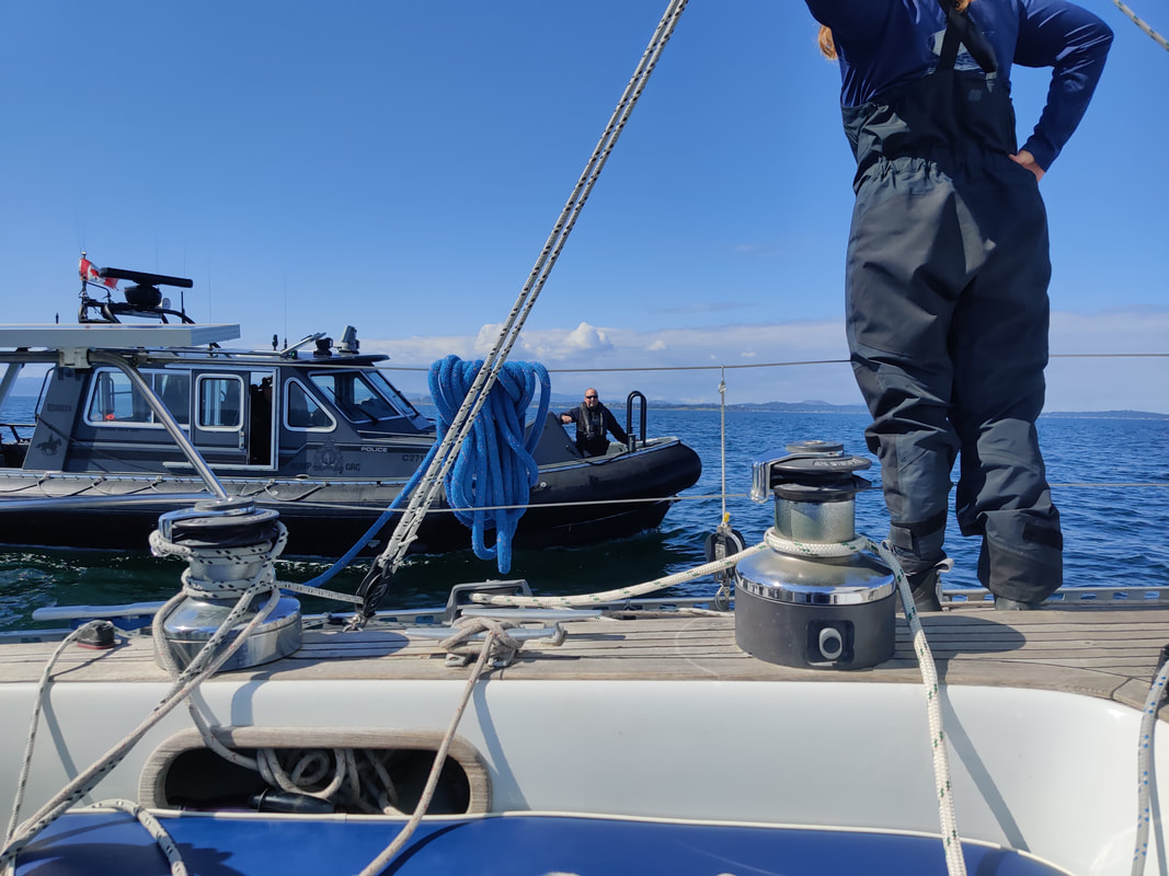
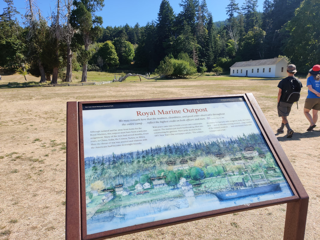
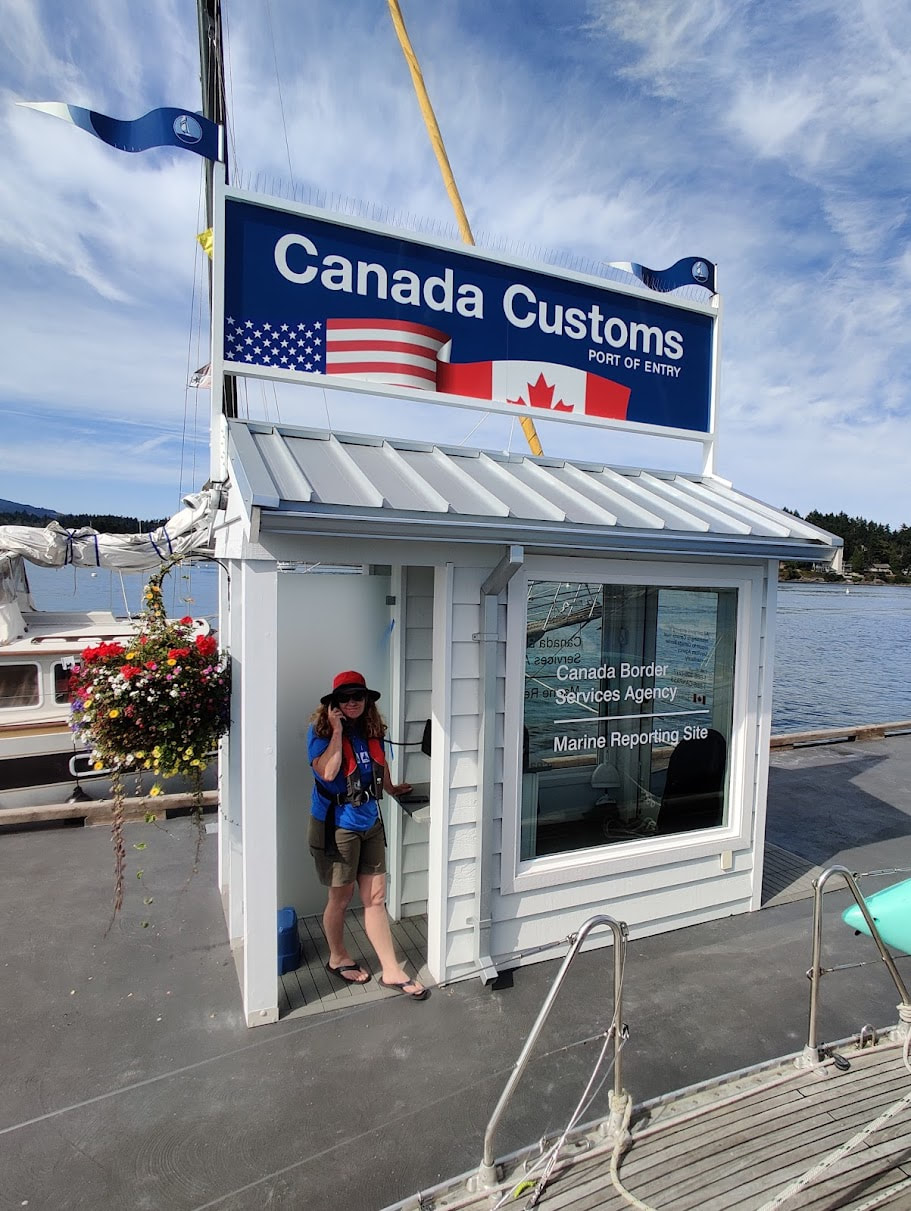
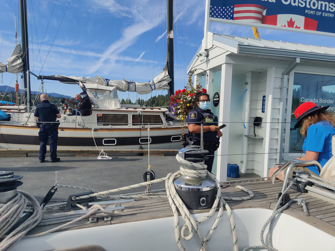
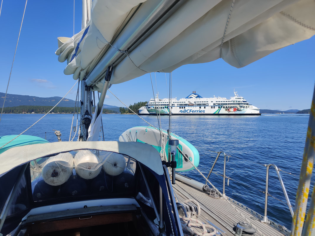
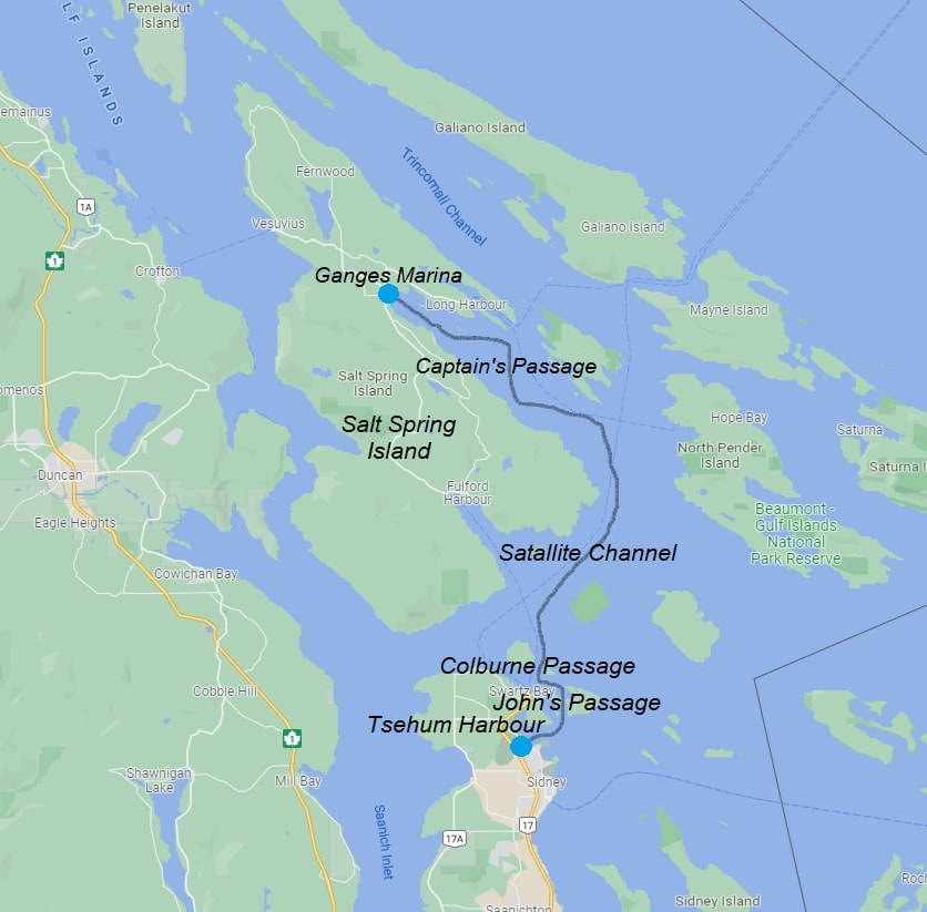
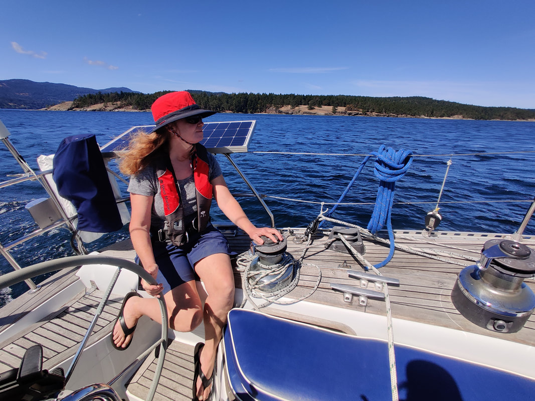
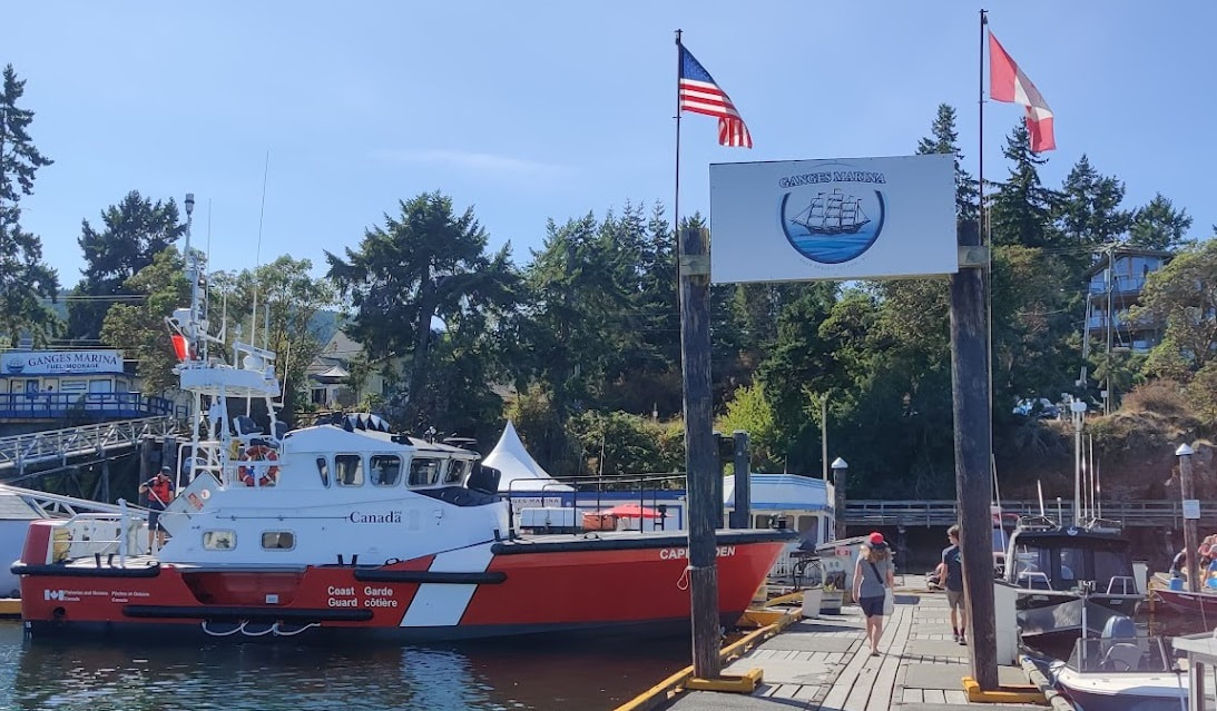
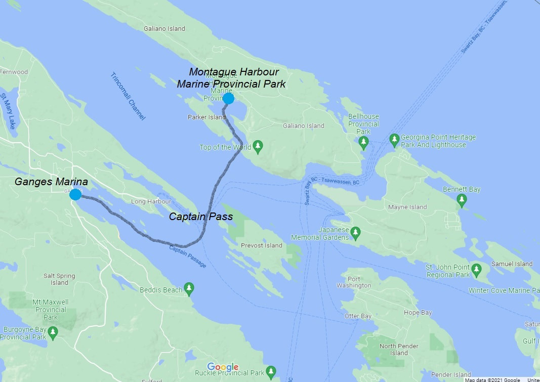
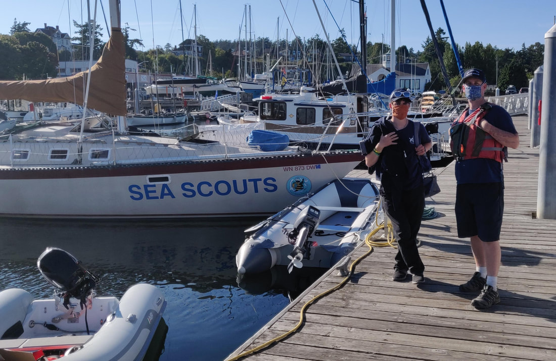
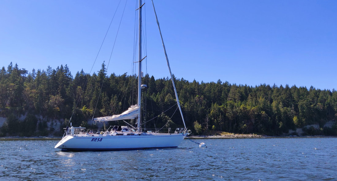
After 18 months happily assigned to daysails, beer can races and the occasional local passage (see A Sailstice to Crescent Bay - 6/2021), Erika and I were eager to visit our neighbors across the strait again. So when the news came that the border would finally open August 9th, 2021 we immediately began planning a cruise to the Canadian Gulf Islands. Due to the pandemic Canada created a new application called ArriveCAN to help travellers safely enter the country via auto, air or marine. Mostly the app was an easy, straightforward online form to register proof of vaccination and a recent negative covid test result. The biggest challenge was finding a location that administered the less common PCR/NAT test that wasn't a hundred miles away. After a bit of research Erika found we could get the required Canadian approved covid test at the local hospital if we were potentially “exposed” recently. It just so happened that we personally knew someone who came down with the virus a few days earlier. So, the minor ordeal was set for Thursday morning, August 26th. The day after getting our nasals swabbed, Erika, Loren and I departed for Garrison Bay, off San Juan Island (SJI). Rese's Route around B.C.'s Gulf Island We planned to wait in Garrison for our test results which would hopefully arrive in the next 48 hours. Per Canadian covid regulations, we had only 72 hours before the test expired. If for any reason we ran into trouble acquiring the results in time, no big deal, we would happily continue cruising the San Juans. We woke up in a calm and quiet Westcott Bay the following morning (Garrison Bay was too busy) to an email stating we were all negative. Erika downloaded the file and noted it in our ArriveCAN app. We were eager to set sail for Canada but luckily had plenty of time to visit the island’s charming little park known as English Camp, just a short kayak away. 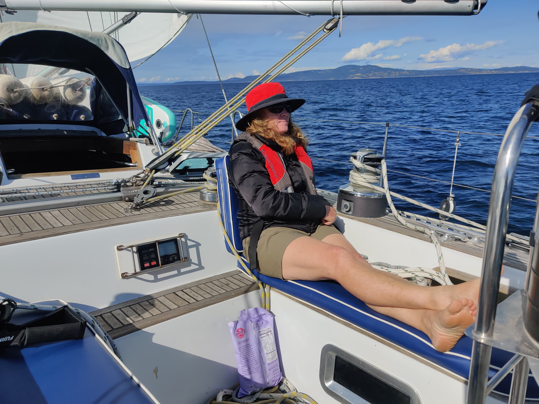 Crossing the Strait, Finally. Meeting up with RCMP, again! Resa's Route to Westcott Loren paddles the Bay Located in Garrison Bay, and now a national historical landmark, English camp was a British army settlement during the Canada/US boundary dispute, a.k.a. the Pig War, in the late 1800’s. After chatting about life in the 19th century with one of the park rangers we returned to Resa. We whipped up some sandwiches for lunch then promptly weighed the anchor. By 1300 Resa was sailing across Haro Strait, the narrow body of water that was finally chosen in 1872 to finalize the border of the two nations, ending the pig argument. Paddling to English Camp Hiking to English Camp Enjoying English Camp The northerly breeze filling Haro helped Resa make the 13 nautical miles into Tsehum Harbour's customs dock. Incidentally, It marked the first time in the last five border crossings that we weren’t “approached” by a “friendly” RCMP patrol boat asking about our “business” in Canada. After securing Resa to the Van Isle Marina dock, Erika stepped into the custom’s kiosk with all of our vital info at hand and dialed the border agent. She hung up about ten minutes later stating that the phone connection was horrible. While waiting for the agents we teased another American sailboat, also attempting to clear customs, that maybe we should do each other the service of drinking one another's alcohol before it was seized. When the officers finally arrived, maybe with their hackles up, they asked Erika “why she didn’t want to disclose the amount of food or alcohol aboard Resa” during the phone call with the CBSA agent? It was quickly recognized that her reported tone of defiance was a technical misunderstanding...yes, it was that frustrating phone. The officers chuckled, stating our paperwork was in order and that they really didn’t care how much fruit, vegetables, meat or alcohol was aboard, happily sending us on our way. Now officially in Canada we could sit back and enjoy a bit of B.C. Now what? Over the years our YC members suggested visiting Ganges on Salt Spring Island during it’s very popular Saturday artist and produce market. Very popular indeed. Moorage for Saturday night was completely booked but Sunday, on the other hand, was wide open. It worked out since a quiet marina was more appealing to us, at the moment anyway, plus Resa was already fully provisioned. We called it a day and requested a slip at Van Isle Marina for the night, conveniently located adjacent to the customs dock. After a pleasant walk around Tsehum Harbour we treated ourselves to take-out from a local grill and began planning tomorrow’s passage north to Salt Spring Island. Resa's Route to Tsehum Hrb Kiosk at Van Isle Marina Clearing Into Canada 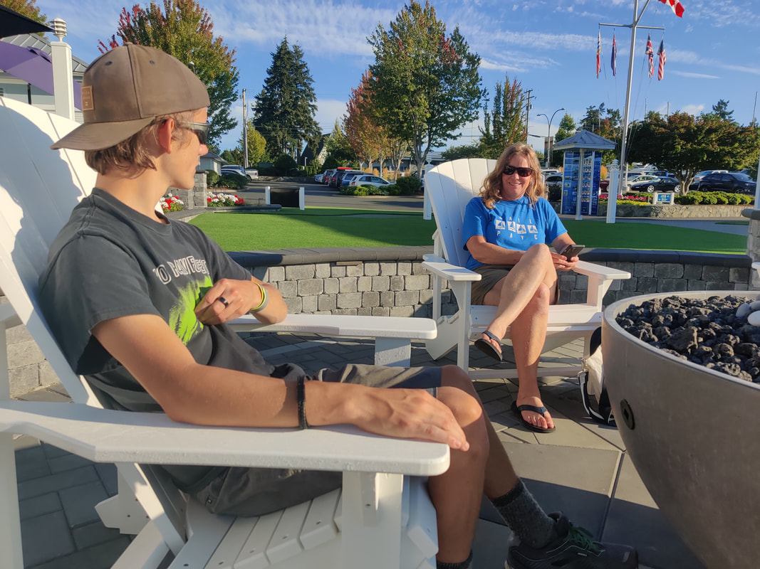 Waiting for our take-out from Sea Glass Waterfront Grill The following morning we made the short trip, literally a stone’s throw, back to the customs dock, also where the marina office, fuel station and waste pump are located. We wanted to take advantage of the convenient and, possibly, last pumpout station before entering the gulf islands where waste facilities, we understood, to be non-existent. Erika and I made quick work of the measly six gallons of yuck-yuck and shoved off. As Erika began motoring away one of the young dock attendants hastily hollered something at me. It turned out we owed the marina twenty dollars for the use of the pump-out equipment, surprisingly, regardless of the tankage size….what a deal for a mega-yacht, eh? Like a get-away car at a bank heist Erika motored off abandoning me at the scene of the crime. In a semi-confused state I profusely apologize for feeling like a thief, truly not knowing about the fee. “Yeah”, the polite attendant admitted, “most Americans don’t”. I learned that Canada is both pricey and laxed regarding marine waste…a muddy topic for another day. I also learned that Erika still loved me enough to circle around and pick me up, eventually. In hindsight we were glad the tank was emptied because a week later it was full, almost tragically full. I still remember saying “Hold it Loren, we’re almost there!” as we sailed across the border and into Roche Harbor to clear back into the US and empty our swollen potty tank. Update: back home we found out Ganges does have a pumpout station ($10 fee) located at the end of a “breakwater''. Use/copy the link below for more information regarding B.C. waste facilities and regulations. https://georgiastrait.org/work/cleanmarinebc/ BC ferry off our starboard bow. Resa's route to Ganges Sailing Satellite Channel By 1100 Resa was exiting Tsehum Harbour and making for Ganges Marina on Salt Spring Island. The 16 nm passage, passage being a keyword, carried us up through John’s Passage, west along Colburne Passage, north by way of the wider Satellite Channel, and finally into Captain’s Passage. It was in Colburne that we crossed paths with our first BC ferry, another signal that we were really cruising Canadian waters. We gave the impressive Coastal Renaissance, a 160m (524 ft.) passenger/car carrying vessel (vs Coho’s 341 ft.), plenty of room to clear our bow as it headed into Swartz Bay. Welcome to Canada. Dodging boats of all sizes was what we signed up for, after all It was summer, the height of the cruising season. After an hour of epic beam-reaching along Satellite Channel, the now fading 12-14 knot breeze compelled us to trigger the ol iron horse, turn to port and motor west into Ganges Marina. Making our way along the north shore of Captain’s Passage we observed the heavy boat traffic on the southside exiting the marina and heading to all points east I imagine…the tell-tell crowds of Saturday’s busy art and food market. Also on the approach to Ganges we surveyed the chain of islands along the northside of the passage labeled Sister islands, Goat island, and the Deadman Islands on the chart. Picturesque but also potentially precarious, these finger islands were dotted with sunbathers and hidden reefs, specifically the alarmingly named Money Maker reef. Arriving at a new destination, be it an anchorage or marina, is half the excitement of cruising. The other half being the journey, of course. Pulling into an empty anchorage or a quiet marina is a huge plus. Sailing into Ganges was new to us and had plenty of open slips, check, check and check! After securing Resa, we grabbed our face masks and walked up to the marina office. Erika confirmed one night moorage, paid the 1.75/ft Canadian ($1.30/ft = $50 U.S. for Resa ) and acquired the marina gate and bathroom/shower code. An important side note, when cruising the Gulf Islands plan not to fill or top off your water tanks. The islanders are experiencing serious drought conditions so the freshwater in the area is very precious. Let’s see what improvements La Nina brings for 2022. But at the time we were advised by marina staff not to use the water outlets for any reason, period. Fortunately Resa stores 320 liters (85 gal.) of potable water, enough water for three people for a month. Anyway, later that week we appreciated a rain squall, oddly enough, that hit us during the transit to Saturna Island, gratefully washing off much of the sea salt that built up on Resa. Welcome to Ganges Marina Boat and Plane Watching Self Tour was Relaxing 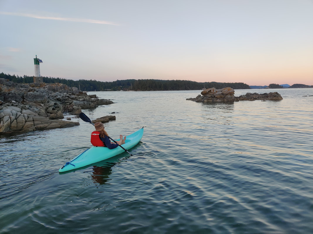 Erika negotiating the many rocky reefs located in the harbour. After getting Resa all settled in ‘er temporary slip, Erika, Loren and I set to explore downtown Ganges. A short walk, literally 1000 ft, from the marina gate we encountered Harlan’s Home Made Chocolate and Gelato Shop. We treated ourselves to a scoop on the stoop then continued a self-guided tour of the self proclaimed “busy but quaint artisan village”. The present day “hamlet” looked to be taking a breather from Saturday’s lively events which was fine with us. Eventually our curiosity turned to, as usual, local history. After viewing a couple seaplanes taking off from the town pier we found a bookstore, purchasing a book about the people and their stories that originally settled these islands. The book, Salt Spring Island: The Story of an Island by Charles Kahn, included many fascinating narratives that joined us along our short journey around B.C.’s Gulf Islands. To continue our own story, Erika and I launched our kayak/paddle board and surveyed the shorelines around Ganges until sunset. The following morning we charted a route to Montague Harbour off Galiano Island. Departing Ganges Marina Crossing Trincomali Channel Loren Chill'n in the cockpit Island hopping in the Gulf (or the San Juans) can mean a five minute or 5 hour passage. That’s really the beauty of sailing an archipelago. So many places, in so little time. Oh, what to do. The seven nautical miles from Ganges Marina to Montague Harbour was one of the shorter hops we encountered on this particular cruise. The nearest distance separating the two islands is only about a mile. Eighty feet separate N. Pender and S. Pender. Islands, Thetis and Penelakut even less. Hey, who needs a boat. Wait, scratch that. Check out time was 11a.m. but we were anxious to get back on the road, er…water. We departed Ganges Marina around 10 a.m leaving the harbour airport to starboard and one of it’s seaplanes landing to port. Loren got a kick out of a seaplane so close to Resa. Watching seaplanes always brings me back to Desolation Sound in the 1970/80’s. My family and I would sail to West Redonda Island to visit our Uncle’s home in Refuge Cove and, on occasion, depart via a floatplane. I believe it was the likes of a Cessna 180, a tight four passenger floatplane, especially with our luggage, but the thrill stuck with me ever since. We continued motoring down Captain Passage, keeping the Sister Islands off our portside then making the ninety degree turn through the small pass between Salt Spring and Prevost Islands. As we entered Trincomali Channel a nice northwesterly met our portbow. Not passing up a chance to sail, we set full main and genoa. After an hour of beautiful close reaching we steered Resa between Julia Islet and the southwest corner of Galiano Island. After dousing the sails, we motored Resa past Julia Islet and up a small channel. Halfway towards Gray Peninsula an overhead electrical wire was spanning the waterway. A strange phenomenon almost always occurs when approaching a bridge or the like underway. Even bridges as high as the Golden Gate (220 ft. of clearance), look eerily like we’re going to hit our mast. So, being in unfamiliar territory, we triple checked the Canadian chart and still proceeded with trepidation. Resa’s mast measures 65 feet tall, the charted wire height was a safe 125 feet above the high water mark. But the actual difference is never appreciated until well past the real or imagined hazard. Well, with that resolved, we continued on to Montague Harbour. As we entered the harbour we noticed a scattering of boats both to port and starboard. Our intent was to visit the marine provincial park to our left so we toodled that direction to scout it out. After a couple passes in and around the area we settled on a spot close to the beach and a seawall. The tides in the region reached nearly 4m (13ft.) at high tide but we were very close to the bottom at the moment. Erika and I checked the tide tables and found the tide was at its lowest point and would not fall any lower in the next couple days. Now that Resa was safely secured to the mooring ball we could begin to enjoy our surroundings. After wrapping up Sunday’s Junior sailing program, Erika and I headed home to quickly pack for a daytrip to Crescent Bay aboard Resa. Although it was one o’clock in the afternoon I should not have described our pre-departure as quick or rushed because, after all, it was Summer Solstice, the longest day of the year. In the end it turned out to be a great day trip and quite a contrast with our last trip west (see Sailing to Seiku: A “non-stop” adventure out West, PAYC’s March newsletter or at www.sailingsteadfast.com/the-captains-blog). 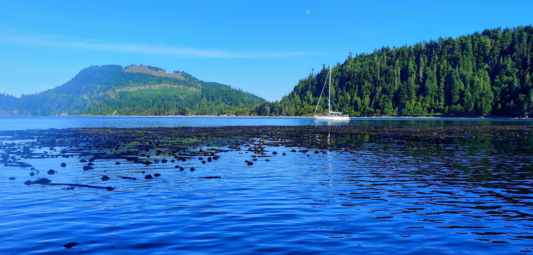 As the crow flies Crescent Bay is approximately 10 nautical miles from the port angeles marina. But because we have to sail around Ediz Hook the trip is closer to 16, nearly the same distance from the hook to Victoria’s harbor entrance. In reality, when plotting the actual departure and arrival points, Victoria and Sequim Bay are each five nautical miles further away than Crescent Bay. Therefore, this trip west makes for a great alternative to the busier bays. And when I say “busier”, it's an unfair comparison, we were the only boat in Crescent that day. Plus, at this time anyway, Canada is still closed, canceling just the thought of traveling to Victoria now. Among our standard galley stores, we added a fresh salad, some sandwiches and a couple extra snacks for the passage. We departed PA marina by 230pm, getting Resa up to a comfortable speed, slicing the glassy sea at seven knots. And because of dumb luck, the strait was ebbing 0.5 to 1.0 knots, eventually increasing our over the ground speed beyond eight knots/hr. We made Crescent Bay, under power, in a timely two hours, fifteen minutes. 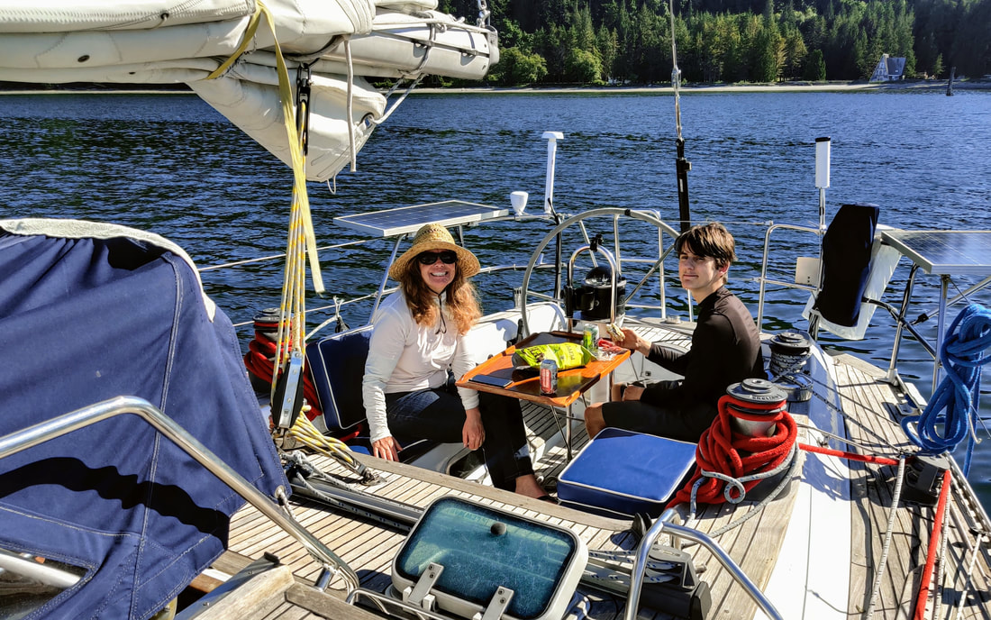 After arrival, we began exploring the depths just east of the small peninsula that once was the town of Port Crescent. The "town" was developed in the 1890’s to support the westward expansion of the timber industry and its affiliated ship traffic. I understand the settlement eventually burned to the ground, 2 hotels and 2 saloons, ending its moment in time. We set the hook in about 30 feet of water, keeping the rocky reef, the beach, and a lonesome A-framed house off to our stern. It was a quiet anchorage amongst a picture postcard pacific northwest setting. Erika, Loren and I pulled out the picnic food, enjoying the scenic locale as we ate. Within the hour a light westerly filled in, swinging Resa’s stern toward Tongue Point/Striped Peak, about a mile away. 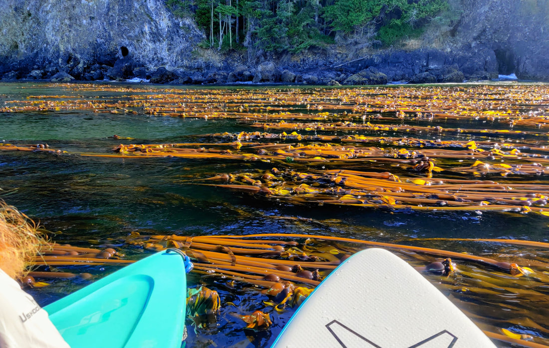 Leaving Loren to relax on deck (his choice) to enjoy his latest dragon/fantasy book, Erika and I launched the kayak and SUP to explore the western point of the bay and its extensive forest of bull kelp. Growing on a very shallow rocky reef inside and around Port Crescent Rock, the kelp forest and, by luck, hundreds of visiting sea nettle flowing in and out of the forest made for an amazing side excursion. I could have watched the jellies pulsating through the ribbons of algae for hours. With a bit of “already??” I noticed Erika heading back to the boat. My attention fell on the fresh breeze filling the bay, beckoning me to join it on it's journey East. I happily paddled for Resa and prepared to get underway. 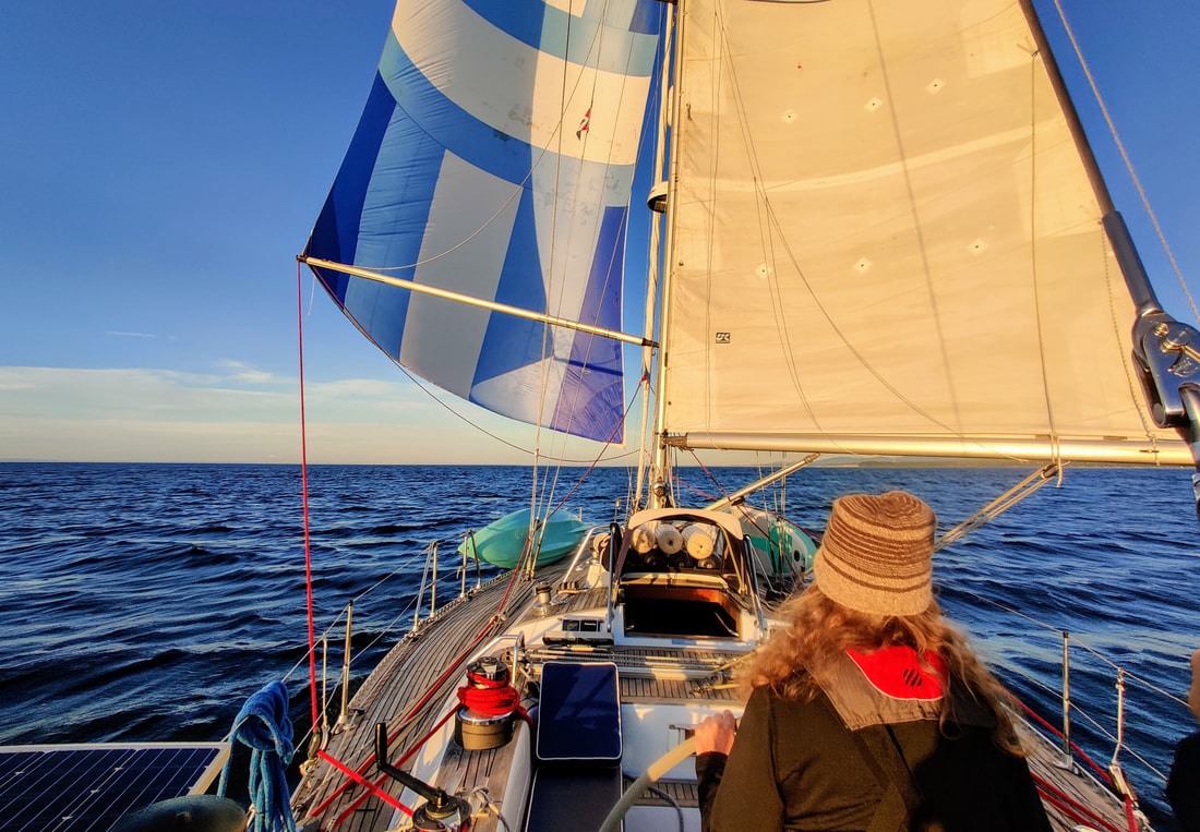 By 8pm we weighed anchor, motored north and out of Crescent Bay. We soon turned to wind, hoisted the main and set a course back to PA. A spinnaker ride along the Olympics would have been epic for the conditions but I had left it home, bummer. Instead, Erika and I hoisted Resa’s blue nylon asymmetrical sail and poled it out opposite the main, sailing wing on wing all the way home. It worked out great, averaging 6.5 knots of boat speed. The sun didn’t set for another hour and a half allowing us clear views of our watery surroundings. But the real show started after sunset. The sun’s rays actually lingered until close to 11pm (nautical twilight), but from 930pm (sunset) until our arrival in PA around 1030pm, the northwestern evening sky displayed bursts and streaks of reds and oranges. As the colors faded, we rounded Ediz Hook, struck the sails and motored the remaining two miles home and, officially, into summer, completing our sail-stice to Crescent Bay - Keith Dahlin 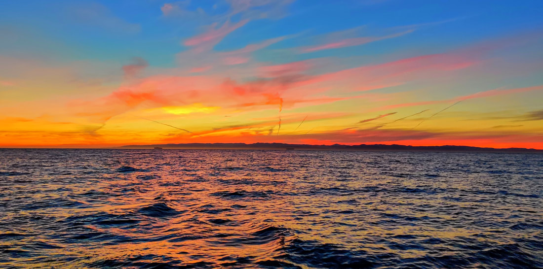 Saturday, October 24th at 10am, we slipped the dock lines, stowed the fenders, and exited Port Angeles’ Boat Haven marina. A few minutes later Resa, our Sweden 41 sailboat, met up with the Sea Scouts aboard their sailing vessel Knight n Gail . We had been wanting to sail Resa points west for some time and were equally eager to help Jared and his Sea Scouts fulfill their “long cruise” requirement. So, Erika, Rebecca, Elliot and I booked passage for Clallam Bay, roughly 40 nautical miles west of Port Angeles. The plan was to sail eight hours to Clallam Bay, arrive by 6pm, tie up or anchor for the night and return to PA the following day. The good news, we shaved two hours off our intended transit time there. The bad news, we had to slog another 16 hours back to Port Angeles almost immediately after arriving in Clallam. The following is an embellished log of our 23 hour non-stop adventure out West...and back. 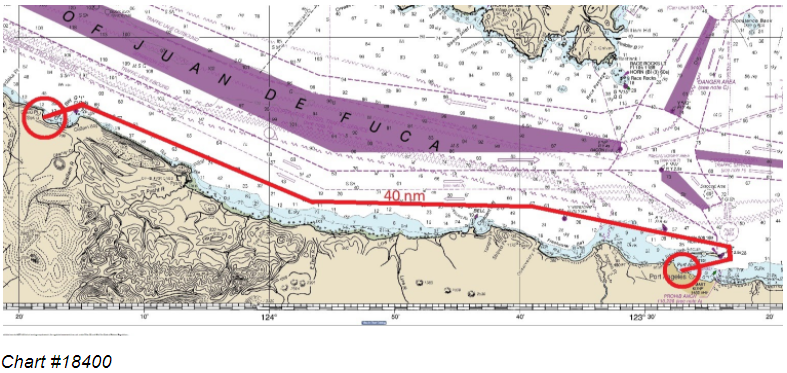 The day’s wind was forecast to send us east with a following and blustery breeze around 25 knots with gusts near 30. For the first two hours the current would be directly on the bow, reducing our speed over the ground. Fortunately the flood would reverse to an ebb by noon and help carry us west the rest of the day. Still in the protection of Port Angeles harbor, the crew pointed Resa directly into the cool easterly breeze, hoisted the main to it’s full and rolled out the genoa. Off the starboard quarter, not a half mile behind us, Knight n Gail followed suit. We trimmed the sails closely, keeping the pilot, navy and coast guard stations safely off our port beam. At the end of our maritime parade of buildings, Resa tacked around Ediz Hook’s red buoy, officially entering into the more exposed Strait of Juan de Fuca. As if we were entering an empty highway from an onramp, Erika turned us sharply downwind, Rebecca eased the sheets, and Resa accelerated westward. Next stop, Clallam Bay!  Although we had clear skies and sunshine throughout the trip west, the daytime temperature was a brisk 50 degrees while windchill dropped it to the low 40’s. In a short time all of us had our entire kit of foul weather gear on, adding accessories throughout the day, a warmer hat here, extra socks there. In the Strait during the month of October the average high is 57 degrees while the average low is 47 degrees. During our planning stage of the trip I noticed on this particular weekend, and this weekend only, the temperature would drop to a frigid 32F with strong northeasterly winds. It looked suspiciously like what locals call the Fraser valley outflow. Fortunately Resa had a diesel heater to warm our bunks at night during this meteorological bit of bad luck. 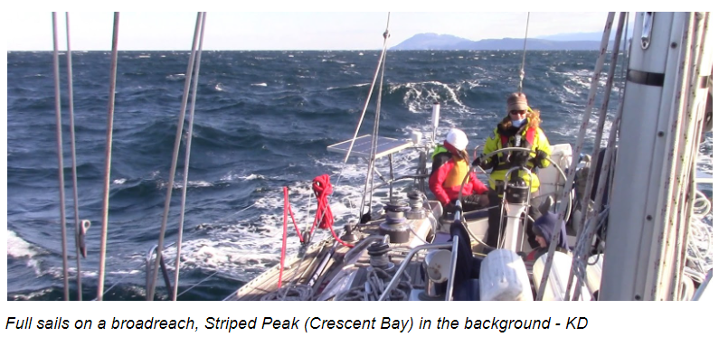 By noon the currents in the Strait had switched from the weaker flood to the stronger ebb, increasing our speed over the ground up to a knot and a half. Reaching speeds over eight knots much of the day made for a rollicking ride along the tree studded, rocky coast of the Olympics. As we passed the northern perimeter of the shallow escarpment around Angeles Point, and Elwha’s effusion of sediment, the seas became noticeably lumpier. Later Jared had shared with us that this was where Night n Gail’s crew, understandably, lost a few portions of rations over the side. Fortunately it wasn’t long before we sailed back into deeper waters where the choppy, wash machine-like conditions were replaced by the larger rolling, and periodically breaking, six to eight footers. Although the seas were larger, the ride was much smoother in the 40 to 70 fathoms under our keel. Everyone aboard Resa settled in a corner of the cockpit, some with grins on their faces, taking turns steering Resa down the quick moving moguls of water. With a couple whale sightings off our port beam (possibly the Grey’s heading west then south for the winter) and the tidal current switching 180 degrees in our favor, the sail to Sekiu was feeling quite satisfying. In fact it was such an absorbing ride we didn’t notice lunch time had come and gone. 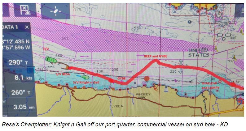 Keeping the northeasterly winds and seas on Resa’s starboard quarter made for a comfortable ride so we kept her course. This tack made for a favorable heading westward but sent us further offshore. In other words, we were quickly approaching the southern boundary of the large shipping lane as well as the canadian border, which was strictly closed due to covid. We already had a few mostly pleasant run-ins with Canadian customs and their coasties during other trips in the summer. A gybe was imminent if we wanted to stay clear this time, which we did. Instead of jibing with full main under near gale conditions we turned Resa a bit up wind and threw in two reefs. Bearing back to our original course speed changed little but the sail was more manageable for the coming maneuver. After the gybe Resa returned to port tack, driving us back towards Washington's rugged coastline. An hour or so later we set up for another gybe, this time near Whiskey Creek in about 10-12 fathoms of water. The large, hard to miss promontory known as Pillar Point, was dead ahead. We steered a couple points starboard of the enormous headland, keeping us close to shore and well within the west bound traffic lane designated for “slower” vessels like us. With the Knight-n-Gail in sight off our port quarter, we settled on our last tack for the long leg to Slip Point, our final waypoint before turning into Clallam Bay. Jared, the Sea Scout Skipper reported via VHF that things were going well, and in fact witnessed a couple Orcas in their vicinity. We reported back that we did not see the Orcas but were also enjoying the blustery ride. This was an opportunity to go below and collect a few snacks before all our attention was negotiating Resa’s first time in Clallam Bay. By then it would be all hands on deck. Sitting down to a warm meal inside a warm boat would have to wait until Resa’s anchor was fast to the bay. 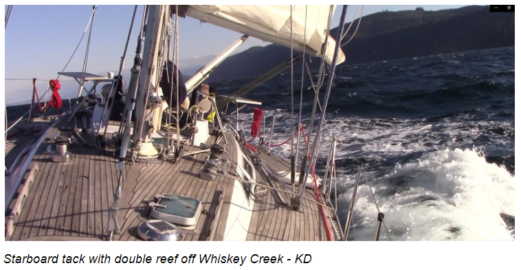 Sekiu has a population of 62. But during the summer the little town is a bustling fishing resort. For a few months hundreds of small recreational and commercial vessels vye for Sekiu’s proximity to the Straits fauna but also hosting protection from strong Northwesterlies. In September, according to our earlier findings, maintenance staff pull the docks out of the water for the season and close down most of the facilities until the following April, leaving the pillings free of course. Mooring between the pilings or setting a hook nearby was our intention. By 4pm Resa reached Slip Point’s green buoy. The buoy, positioned about a quarter mile off Clallam Bay’s northeastern end, buffers vessels from a dangerously shallow rocky reef. As we passed the point it didn’t look any more treacherous than the bay we were entering. The tide was high but the wind waves were higher, filling the bay with a uniform swath of stirred up white caps from the strait to the seashore. It was very clear that Clallam was not an all-weather anchorage especially during a 25 to 30 knot Northeaster. Mother nature would happily sail us right onto the beach if we didn’t mind her. Erika quickly turned Resa into the wind as Rebecca and I struck sails. We motored down wind, towards the marina’s jetty at the western edge of the bay. Since the waters in the bay were a bit chaotic, we continued towards our plan to tuck in the lee of the breakwater. Both paper and electronic charts showed 24 feet near the south end of the breakwater. Resa’s fin keel measures eight feet down from the water line. All of our senses would be on high alert, not due to the charted depth coming into the cove, but because we did not have a functioning depth instrument. 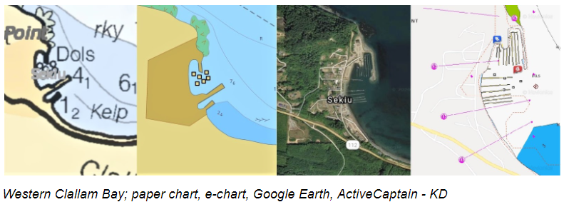 A month or two earlier our depth sounder had failed and was to be replaced during our annual haulout, which was already on the calendar in November. But I jumped at the chance to squeeze in one more cruise before having to knock out a laundry list of winter projects. Not having an electric means to measure depth concerned us but wouldn’t stop us. We would be in the company of Vancouver or Vázquez de Coronado and carry a calibrated rope with a lead weight at the end. Our buddy boat, on the other hand, drafted only six feet and had a functional sounder. If we could locate a safe and appropriate refuge in Clallam Bay so could Knight n Gail. During our preplanning we had come across very little information regarding Sekiu other than the marina’s seasonal sounding data. It was noted that the fuel dock stood in six and a half feet at mean lower low tide. Yes, a red flag, yes, a bit out of date, but information we took into account nonetheless. Primarily, Resa will avoid the area near and around the fuel dock, especially at lower tides. With the little data from the local charts, little local knowledge, no local communication and with the weather that it was we proceeded to follow a track around the breakwater and into the cove at a tactful speed. Before we could consider the out of date red flags, Resa’s keel kissed the bottom and lurched to a stop. Erika and I immediately turned to each other with that “Did we just hit the bottom or did we just HIT BOTTOM?!?! look. We have felt these soft, mushy meetings in the past and it's always a bit unnerving but this felt more ominous than usual...lee shores, stormy seas, cold winds, empty stomachs, etc. etc. Erika promptly turned the wheel hard to port and nudged Resa back into deeper water. The old school lead-line I had laid on deck earlier, ready to “feel” our way into the cove was immediately side-lined. We back-tracked to the middle of the bay, far away from the mysterious shoal lying right in the middle of plan A. We hailed Knight n Gail and warned them about the shoal we dismally discovered off the breakwater. After a chat over VHF radio Jared understood our concern and agreed to cautiously test the entrance with their depth instrument. If the depth was near eight feet, they would be able to sneak in and drop their sea scouts off as planned. Resa stood by, bare poled, rolling back and forth in the wind and waves, for a report from Knight n Gail. This was about the time we planned to break some bread and pop a cork. Instead, our minds were still on the small tempest behind us and Jared’s take on the situation. Time seemed to have crawled knowing decisions had to be made. Eventually the VHF radio crackled to life...damn, Knight n Gail confirmed the muddy blockade. Time for another plan. 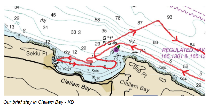 While the sea scouts were being taxied off Knight n Gail via their inflatable tender, Resa galloped across the bay to explore alternative anchorages for the night. There would be no tying up or anchoring anywhere near Clallam Bay’s western lee shore that evening. During Jared’s three or four trips shuttling the scouts safely to shore and their awaiting parents, we had time to establish the eastern side of the bay was just as exposed as the west. And without a swift, straightforward way to judge depth or fix a set of bearings throughout a dark and blustery night, the plan to put over in the bay was quickly dwindling. The sun had just set behind the mountains, it was time to confer with Knight n Gail. After a brief exchange regarding our comfort levels staying in Clallam Bay or heading to Neah Bay (rumor was Neah Bay was also strictly closed due to covid), we agreed the least risk was to head back to PA, together. 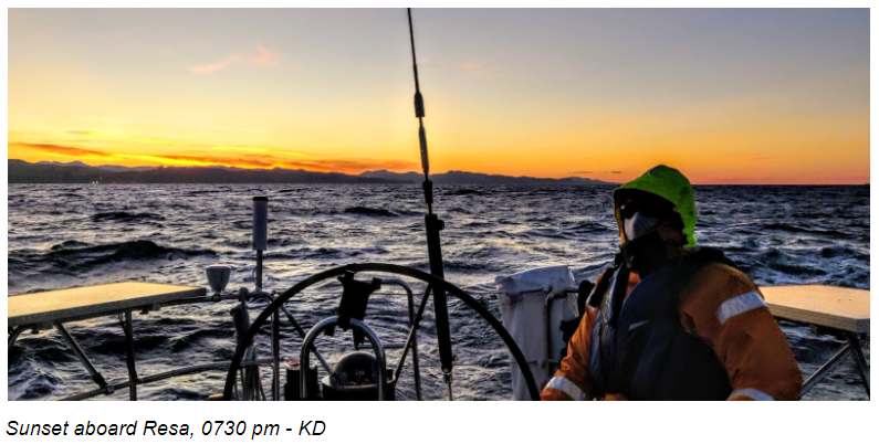 We doggedly turned Resa into the gums of the slightly abated easterly, hoisting an abridged version of the sails. By 6 pm we abandoned the darkening bay and marked a course for Port Angeles. Our initial thought was to beat up the strait but noticed Knight n Gail’s southwesterly heading under power alone, so we struck sails, fired up the 40 hp diesel and laid a new course alongside Jared and his shorthanded crew-mates, Chet and Ozi. As darkness fell so did the air temperature and by 7 pm it was already... really... flipping... cold. By 2 am the temperature was forecasted to go polar. I was hoping we could be in PA by midnight and even shared my dreamy optimism with Erika and Rebecca but a 2 or 3 am arrival time was more realistic. We would feel the freeze for sure. By 9 pm the chemical hand warmers were dispatched with much gratitude. Unfortunately, the wind was back up to near 25 knots with the corresponding six foot seas square on our nose. Our easterly progress deteriorated enormously. No more slipping down the backsides of these craggy waves, punching thru and plunging down was the new M.O. The frigid 25 knots of ocean spray shot across the cockpit with every six foot drop of the bow. For hours Resa’s chartplotter displayed a dispirited velocity of two to three knots with a new arrival time closer to 7 am. I blocked out the prospect of another ten hours at sea and focused on the conditions at hand. By 10pm, Erika and I began ninety minute watches to reduce exposure and catch some shut-eye. With two chemical hand warmers in each pocket and one in each boot we were barely tolerating sixty minutes amidst the cold, wet blackness of the pacific northwest. Rebecca kept company with Erika for first watch, ultimately retiring to the starboard settee for some near impossible respite. I returned topside to relieve Erika so she could also take a break from the elements. Having to hand steer continuously on long, tiresome passages in the past, we were grateful this time to have an autopilot that could hold course in such a pitchy, perilous place. We relied heavily on our AIS and RADAR, amplifying, or simply just detecting, what our diminished senses could not. Although the commercial traffic is somewhat light in the strait, we did alter course a few degrees to stay well clear of a large fishing trawler at 1:15 am and a tug n tow later around 3:00. Sometime near midnight I went below to use the head, and again about every two hours after that. Maybe I hydrate too much, I don’t know. Anyway, it's always a treat taking off five layers of wet clothing in a space the size of an old telephone booth that is being violently jarred up and down all while getting an unexpected cold shower from the newly leaking solar vent from above. A leaky vent, another addition to our growing project list. Each time a bit more damp, and maybe bruised from peeing in what felt like a paint shaker, I would relayer and quickly parkour my way back topsides. During one of my hasty trips to the head I noticed a soaked towel on the chart table. Everytime seawater washed over Resa’s deck, which was often, a deluge of water would pour through worn out seals from a cabin window and the main hatch. Evidently the problem had been concealed up until now. Erika temporarily buffered the area from the occasional cascade with a couple beach towels. I just hoped the sodden charts and carpet below would dry out okay. Our trip out west compared with the return back was becoming quite a contrast. With twenty miles to go, It was time to look on the bright side. Resa’s current boat speed of one nautical mile per hour made it easy to calculate our ETA. Yippee, we’re moving now! Erika and I were officially ready to put this trip to bed, literally. Don’t get me wrong, night passages can be extraordinarily rewarding, a time for stargazing and personal reflection, satisfying the primordial itch. But motoring directly into a six foot chop with 25 to 30 knot ice-cold headwinds was making it difficult to think of anything else other than the sub freezing wind chill factor. The wind, specifically the wind direction, was not only impeding our forward progress but also eliminating all nearby refuges. Only three or so geographical indentations can offer shelter from the prevailing westerlies between Neah Bay and Port Angeles; Freshwater, Crescent, Clallam and, less so, Pillar Point. But all of these hidey holes become open sores when north and easterly gales hit. So, whether it took us eight hours or twenty eight hours, our focus remained on Port Angeles and our buddy boat, Knight n Gail. Throughout the journey home Knight n Gail stayed about a half-mile or so off our stern. We would spot only her lonesome white steaming light fluctuating in and out of the black seascape, but mostly tracked her position via AIS. Every few minutes I would pop my head out in the full force of the weather, scout Resa’s surroundings then quickly hunch back in my corner. Here I would watch the waterproof tablet connected to the house MFD (multi-function-display) via wifi for any changes in course or traffic, but in truth I was primarily transfixed on our boat speed and arrival time. Days later, Jared mentioned, aside from using their electronic navigation, he also kept a steady eye on Resa’s solitary stern light amongst the maelstrom. At one point Erika tried to hail Knight n Gail on the VHF radio and didn’t get any response. She fathomed all was well, continuing to confirm that the vessel was still moving and on course with our automatic identification system. Hour after hour the diesel engine popped and spit as Resa plunged and splashed in the cold, wet, dark of the Strait. I was off watch, dog-tired, desperately trying to melt into my bunk with its cozy blankets and soft pillow when I heard a mutter of voices on the VHF radio. I was hoping it was just routine traffic and Erika was confirming a captain’s intention nearby. But the relentless pitching and rolling suddenly ceased. It felt as if Resa had stopped in a flat sea but the engine’s continued high rpm said otherwise. The drastic change of motion was euphoric but the feeling was short lived. “Knight n Gail’s engine is disabled” Erika informed me, “we are heading back to help”. I rolled out of my bunk, added the two top layers of gear back to the four base layers I still had on, pulled on my boots, put on my hat(s) and gloves and climbed into the cockpit. Erika handed me the charting tablet. Resa was about a mile north of Crescent Bay, heading west again, AND clocking over nine knots, a whopping eight knots faster than on our easterly heading. What? Our first concern was Jared and his crew, Resa’s questionable speed anomaly would have to wait. Fifteen minutes later we were safely off Knight n Gail’s beam. The strait was still rolling with six to eight foot chop and 20 to 25 knot gusts. After a quick update between the boats, it was confirmed that their engine was definitely the culprit and out of commission. Knight n Gail was clearly adrift, rolling violently back and forth with each windy swell...an uncomfortable and dangerous motion for any weary crew. We agreed that the USCG would be a safer, more efficient fit to tow the Knight n Gail back to PA. Jared made the pan pan call while we held our position as closely as possible . About 20 minutes later a boat appeared from the dark and began sweeping a large spotlight over Resa. It was the 29 foot USCG response boat from Port Angeles. We radioed back stating the vessel in distress was a few boat lengths down wind. Another 20 minutes and Knight n Gail was safely under tow. That was our que to continue the slog east. It was 4:30 and we had twelve nautical miles to go. By 5 am the twin 225 outboard engines on the USCG Defender Class Response Boat had slowly built up enough power to tow Knight n Gail at a good clip. It wasn’t long before the two boat’s stern lights were dots on the horizon, leaving us to settle back to our abnormal watch routine....shiver until you can’t stand it “watches”. Erika plainly earned a turn to go below after her unexpected double watch. I swigged some water, took a bite of a breakfast bar and crawled back into my chilly corner of the cockpit. 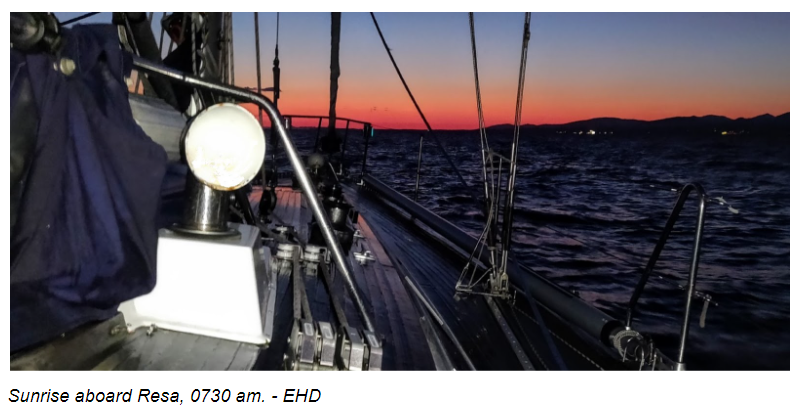 The Strait was still dark, the air was still freezing, and the sea was still lumpy but the wind was finally starting to weaken. I picked up the tablet and checked our speed over ground for the millionth time, three point two...three point seven... four knots and climbing...I felt a wash of joy. We hadn’t made four knots in over twelve hours. Our new ETA was roughly in three hours, way better than the twenty hours we had dreaded earlier. Consequently, not long after the wind dwindled, the sea began to flatten. I was almost enjoying myself again. Things were starting to look up in more ways than one. By 0700 the red-orange glow of twilight diffused over the eastern horizon. Witnessing a sunrise at sea traditionally evokes an emotional high and though I was cold, wet and exhausted this particular morning still didn’t disappoint. For the next half-hour my attention was lost on the blossoming colors in front of me, almost bestowing a desire for a photo or, perhaps, a paint set. Erika awoke by 0730 to witness the scenic daybreak and snapped the picture I was too sluggish to take. By 0800 the sun broke the eastern horizon and, immediately, we felt a welcoming warmth on our faces. I chuckled at the thought that our eastward passage was perfectly bookmarked between the sunset and sunrise. Slipping along the glassy liquid at nearly seven knots, Resa followed the outside of the Port Angeles Harbor breakwater east, pivoted around the red entrance buoy and laid course for the last two miles home. Rebecca must have sensed our close proximity and came out on deck to help secure the fenders and lace the dock lines. Once everything was in place the gang quietly lolled about the frost covered decks, soaking up the morning sun probably thinking how irritatingly tired we all were. I was begging to heed the call of my horizontal hay stack below. After placidly passing all the harbor landmarks from east to west (CG station, Coho ferry, etc) Resa was back in her slip officially ending our jaded jaunt by 0900 sharp, just short of a full day and night cycle later. And BTW, It’s good to know that four zombies can tie up a boat, clean up the galley and pack all their gear before you can say dead tired.
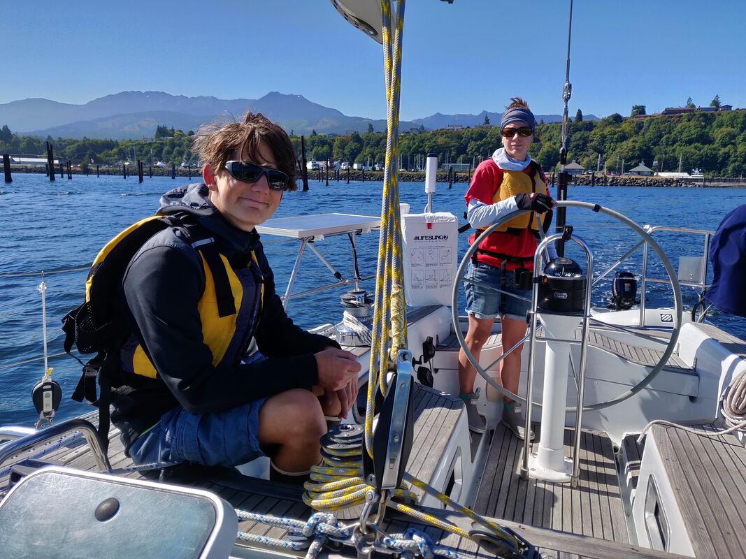
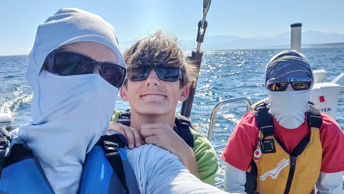
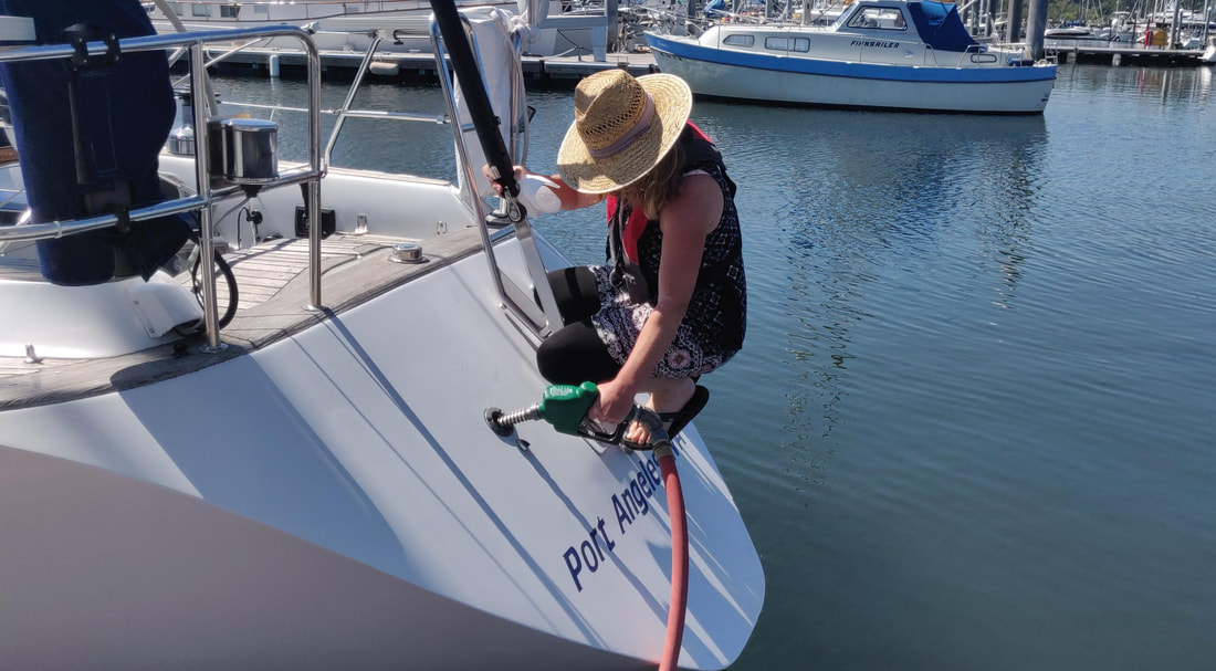
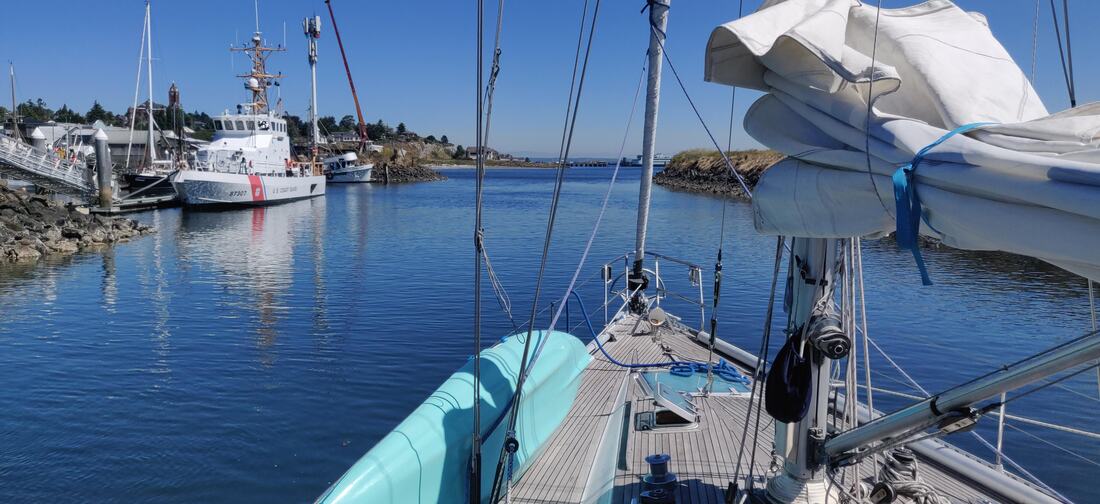
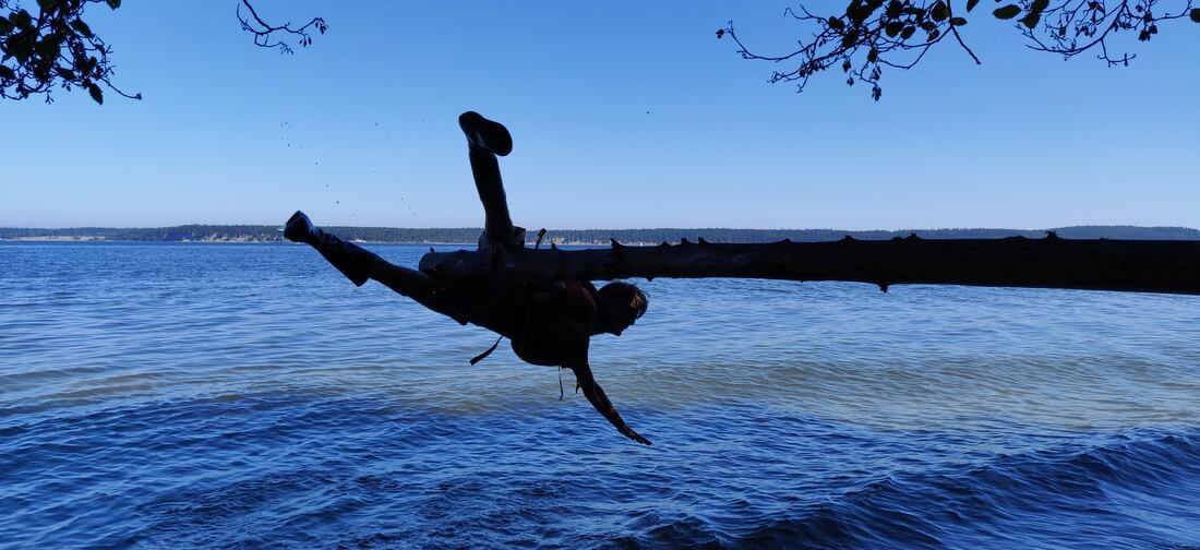
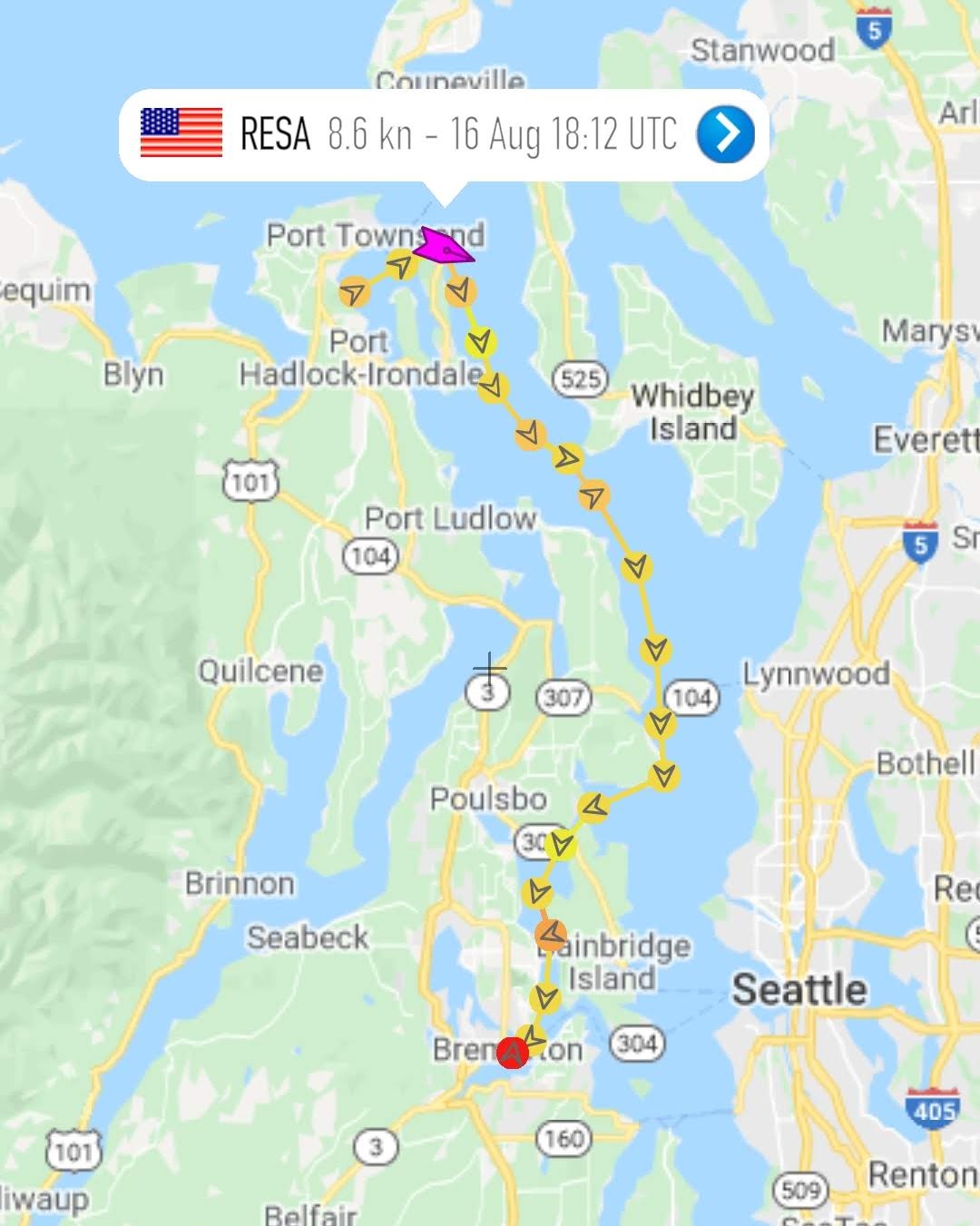
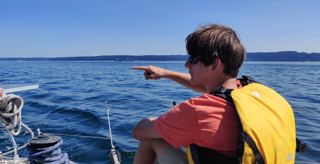
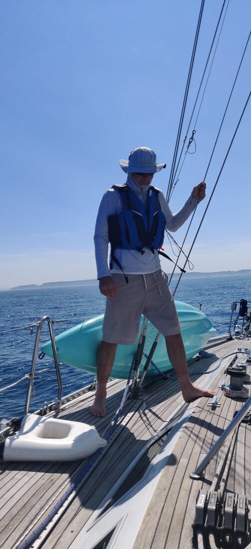
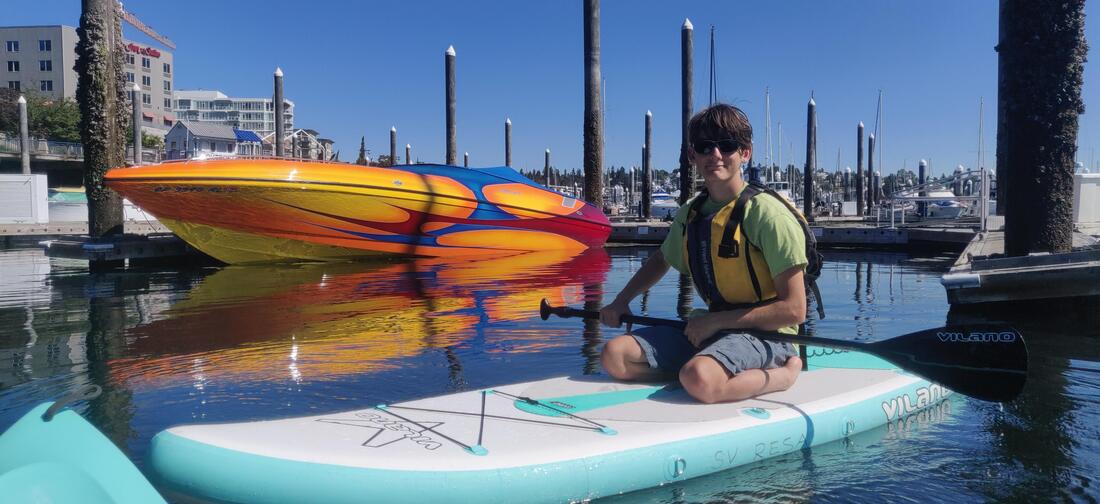
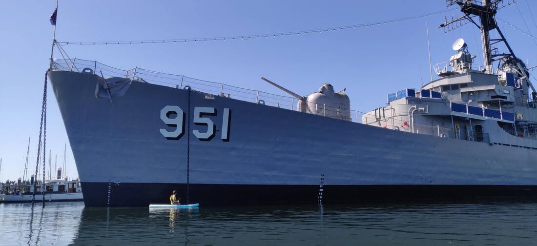
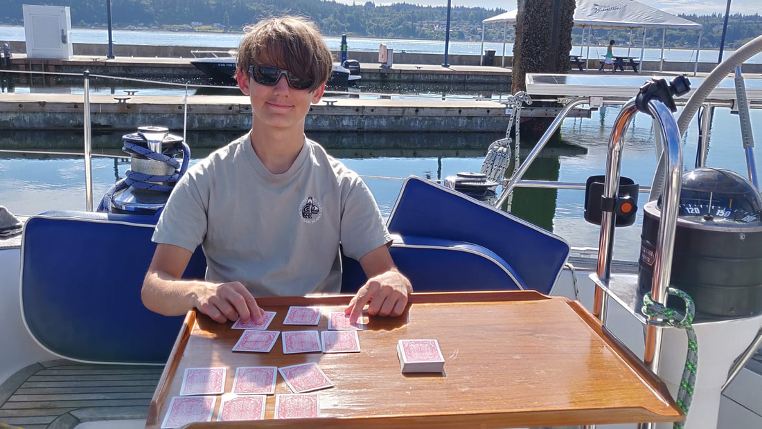
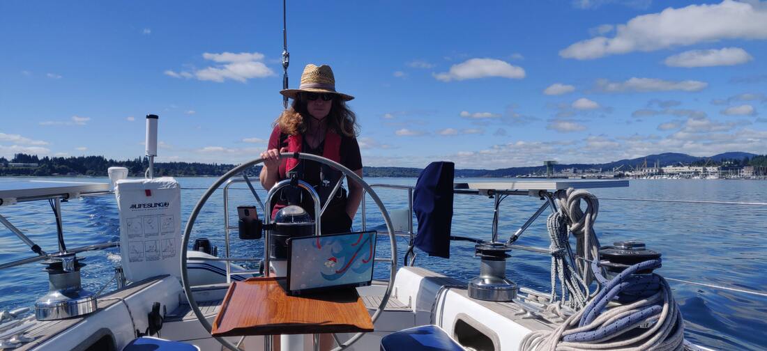
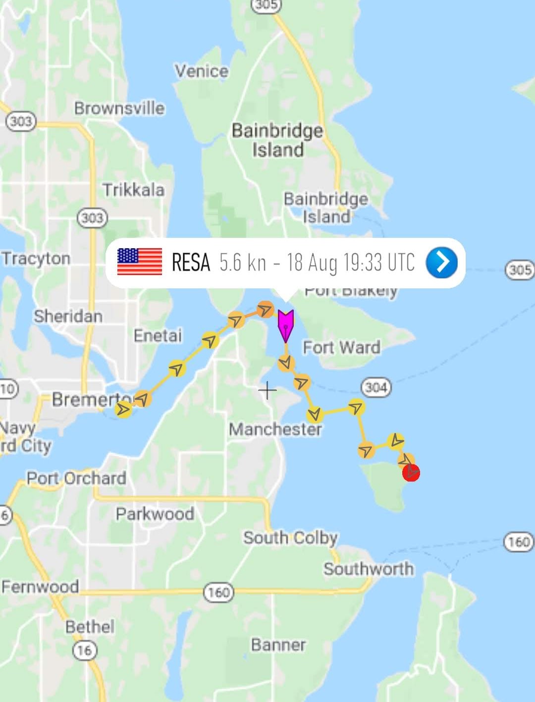
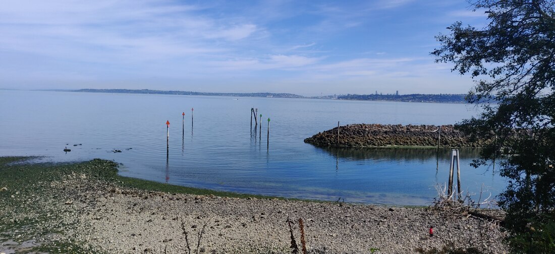
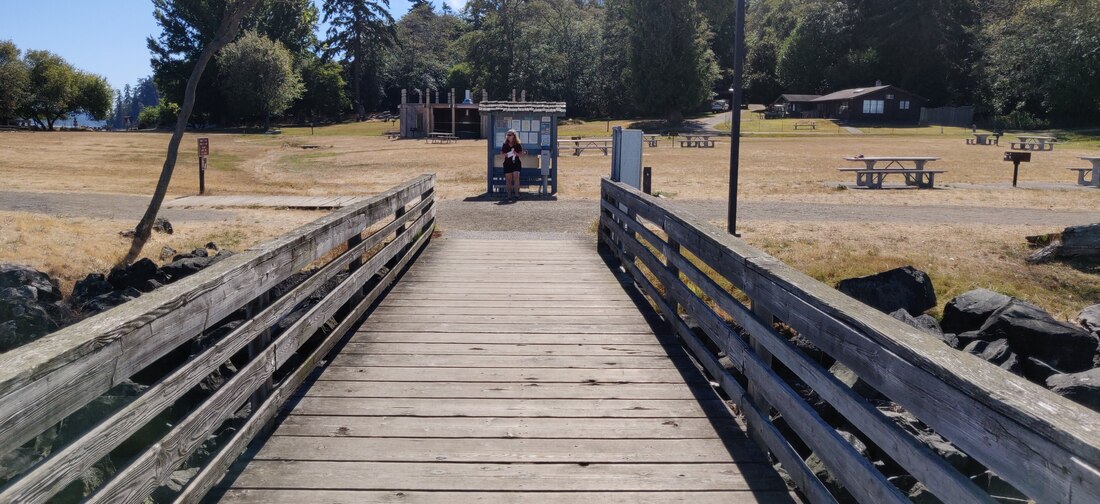
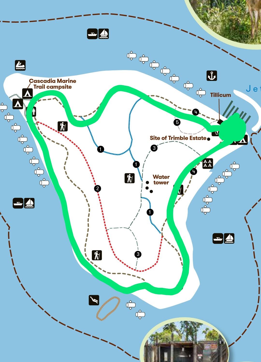
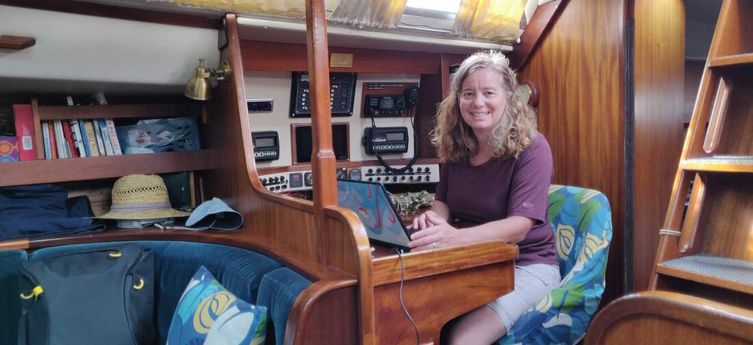
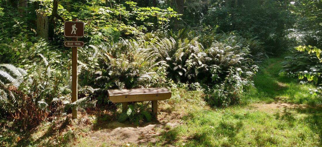
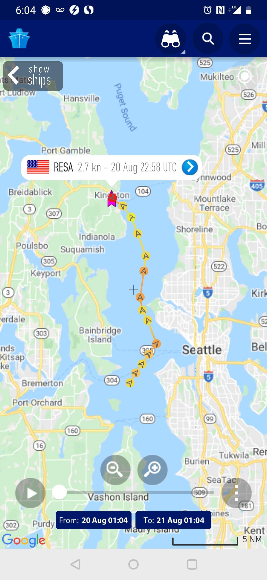
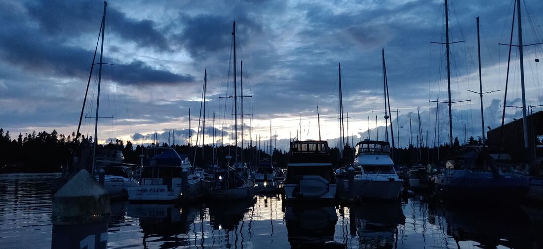
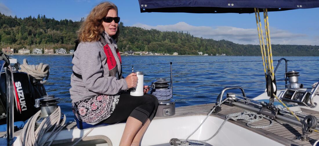
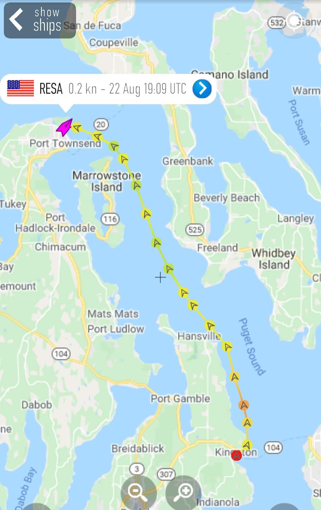
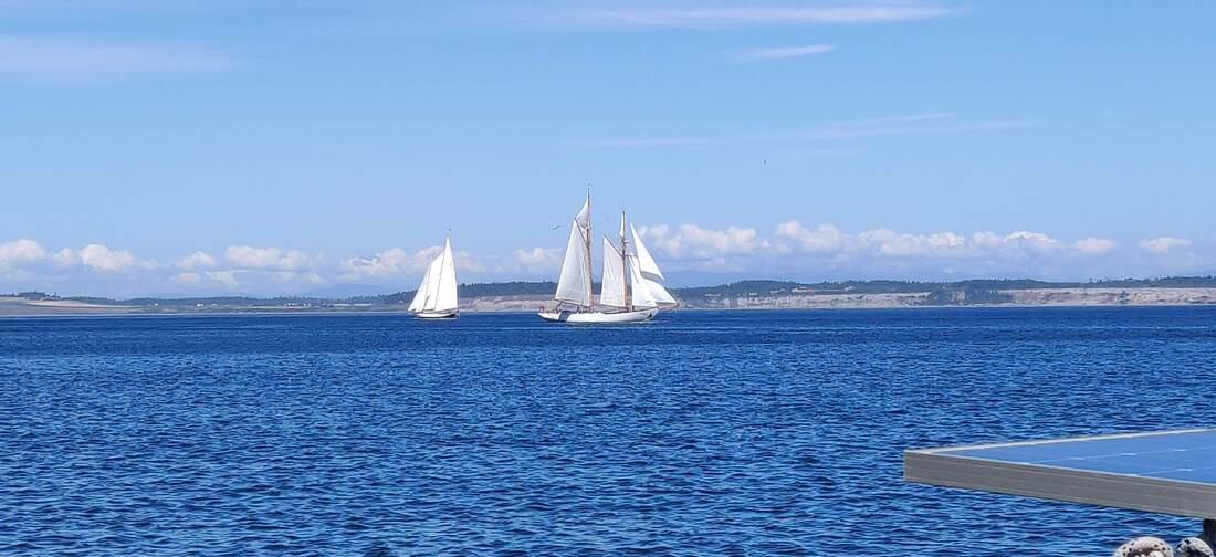
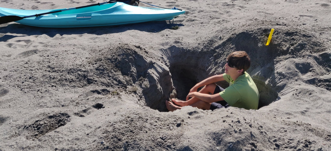
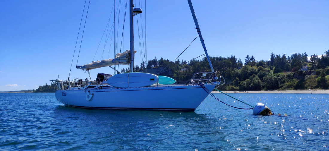
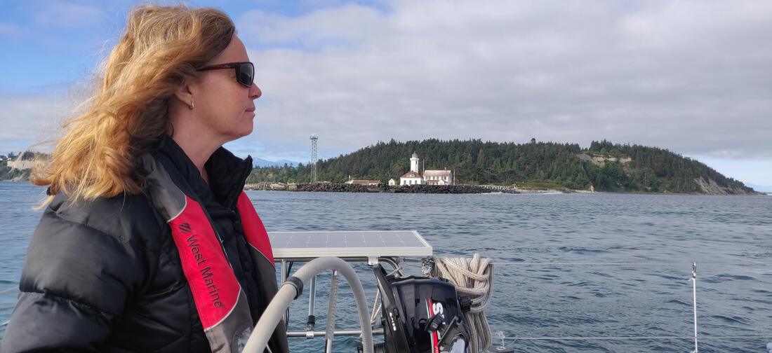
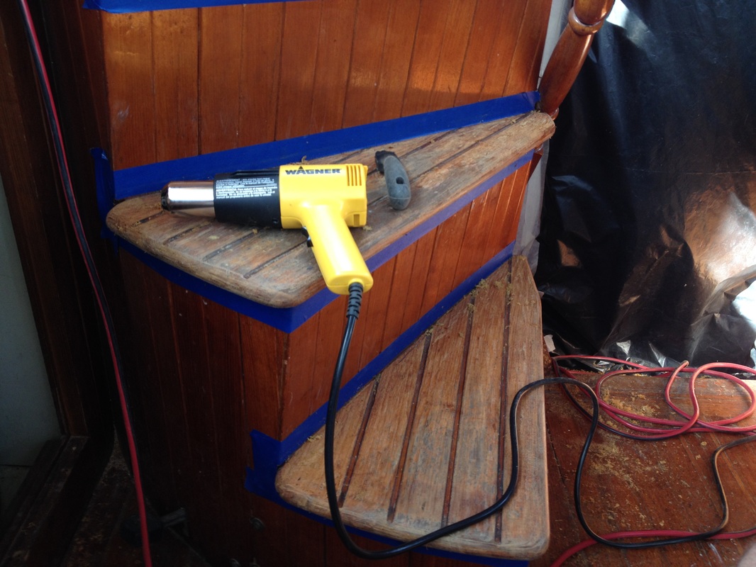
Following a deep midday slumber we returned to the marina to remove the dampened chartbook and soused carpets caused by the leaks so rudely exposed during the passage home. Lucky us, the calm, sunny day would greatly assist in the drying action. After laying out all the wet stuff topsides, Erika and I both chuckled, probably with a wee bit of bite, at the contrast between last night's temputeousness and today’s blissfulness. Doubless, It would have been a tranquil trip home Sunday afternoon, but, as our sixth sense told us, sticking it out in Sekiu could have ended awkwardly, or worse. Boat trips frequently don’t go according to the original plan and one’s expectations can be dangerous, especially for everyone else aboard. For us, leaving Sekiu for another day and managing the strong winds and waves in deeper water, away from the less familiar shoreline, was for the best. Someday we will sail back to Sekiu and stick around a bit longer using our new working depth instrument and a bit of local knowledge gained from our non-stop adventure out west. - KD The Plan - Spend a week or two sailing the Puget Sound while juggling Erika's heavy work schedule. The recently installed cell booster antenna on Resa would keep Erika well connected to the internet. Taking just one of our boys while leaving the other two home to care for the dogs would also be helpful. August 13th, 2020 - The picture below are the leftovers from our last trip to Stewart Island, We'll add more provisions until securing the cabinet doors are barely possible. Erika and I have been managing our onboard provisioning and stockpiling for over 30 years. Neither of us are foodies per say but appreciate a few nice meals during our passages. So sticking with the basics is our modus operandi, especially because we very often cruise with our kids. Our spice rack can last throughout the cruising season with a refill here and there.. But the challenge is to pack the appropriate fresh and perishable goods. Our 2 cubic foot top loading freezer/frig is adequately sized for a 41 foot sailboat but it is not our 20 cubic ft. home frig. 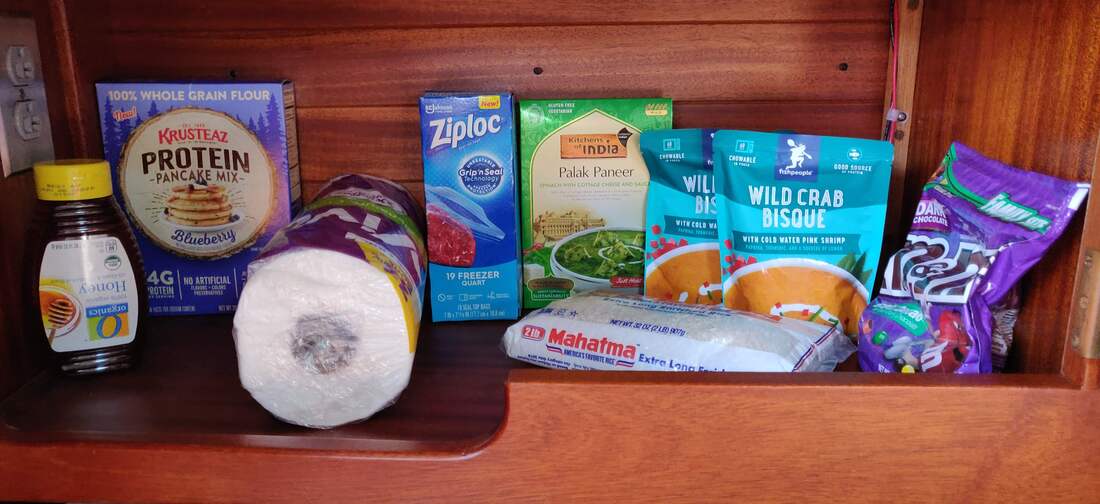 August 14, 2020 - Because Elliot was already in Port Townsend after sailing there with the Sea Scouts (pictured), Mason was picking him up to drive back to PA, Erika would catch a ride and meet Resa later that day. So, along with the help of our sailor friend Rebecca, Loren (pictured) and I departed PA, sailed along the northern edge of the Olympic Peninsula, in very light and very warm conditions, hence the "Team USHOODS" sun shirts. (pictured).. With both the boat load and car load arriving at Boat Haven Marina in PT by 1800, it was time for some easy cook'n...take-out burritos!(pictured) 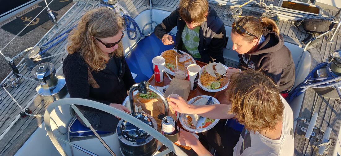 August 14-15, 2020 - We splurged for a night in Port Townsend Marina, aka Boat Haven Marina. Comparatively, PT moorage fees are steep. And more in line with harbors such as Shilshole Bay in Seattle, 1.96/ft (peak season) or 2.25/ft in SoCal. After registering Resa and catching up with another Sweden Yachts owner (36 footer), parked a just a couple slips away, Later Erika and I walked over to West Marine for some electrical wire to finish installing the cell boosting antenna I fixed to the stern rail a couple days ago. The next day we departed Slip C192, emptied the waste tank near the fuel dock, topped off the diesel Euro style (pictured) and set off for the unknown. 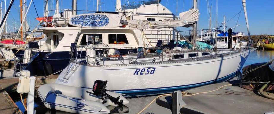 August 15, 2020 - We didn't get far. With a fine westerly flowing outside the marina, we set sail and explored the southern part of PT Bay. Loren and I launched the inflatable to catch Admiral Erika in action (pictured). A short time later Resa was hailed by our friend Jared who happened to be sailing near by aboard Knight-n-Gail. He mentioned that Fort Townsend Historical State Park might be a nice place for us to check out. After a drive-by we couldn't resist the two lonely moorings adjacent to an empty beach. Thx, skip! 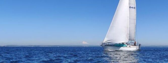 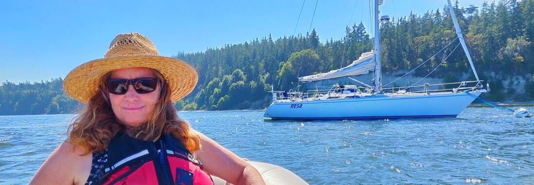 August 15, 2020 - Fort Townsend Historical State Park is part of the Washington State Park system so our Annual Moorage Permit covered the cost of the mooring (pictured). The park advertises over 400 forested acres criss-crossed with hiking trails and 4000 feet of shoreline. The park's historical past included a US Army barracks built in 1859 but later destroyed in 1895. Our attention was back at the beach where we found a large tree branch to play on. Loren's horseback/tree branch riding skills came in handy but eventually his swimming skills were on display (pictured). The temperature was so balmy, it brought me back to those perfect summer days sailing and beach combing between Santa Cruz and San Diego. 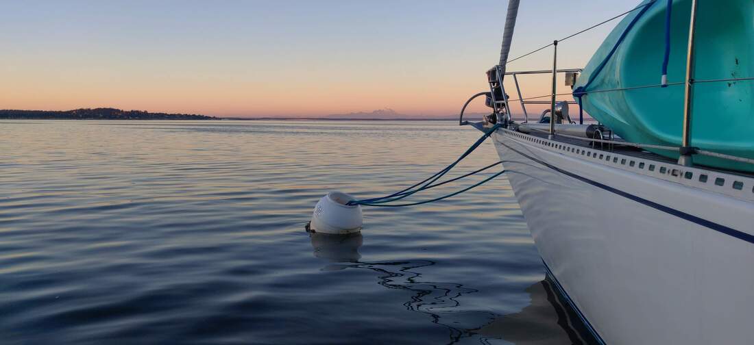 t August 16, 2020 - Casting off our mooring lines, we left Fort Townsend by 10am, set sail for points south. Rounding Marrowstone Point, on our way into Admiralty Inlet., we set a new daily speed record of 9 knots. The flood tide was probably peaking at the time. Resa continued sailing South without the help of any more slingshot headlands but maintained a pleasant 6 knot passage past notable Point No Point Lighthouse and Appletree Cove (pictured). About this time we "didn't see" the armada of military vessels steaming northbound on AIS (Automatic Identification System). Although we did see a Navy Submarine, surrounded by a dozen Navy escort/USCG security boats off our port beam. Loren helped point them out (pictured). As we sailed southwest into Port Madison the wind dwindled and Seattle's record setting heat (98 deg) had become much more obvious. After turning on the engine we literally and figuratively steamed under the Agate Bridge. Heading South thru Port Orchard an amazingly cool breeze filled in. We promptly switched off the noise maker and zig-zagged our way towards Bremerton Marina. After a minor misunderstanding regarding guest slips, we had Resa tied up by 1800 hrs...just in time to witness an amazing sunset (pictured) and the occasional lightning flash. 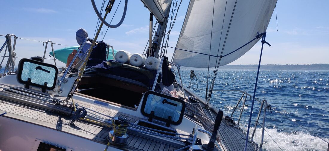 August 17, 2020 - Monday morning and Erika is back to work. Leaving Erika plugged into her cyberworld with all the hatches wide open to battle the very warm and humid conditions, Loren and I were off to explore the area via SUP and kayak. Without surprise , it didn't take long for Loren to find his two favorite boats in the harbor, a "fast and colorful" cigarette boat and the "big and powerful" destroyer Turner Joy (pictured). But most of the afternoon we were paddling under the shade of the piers or pulling each other on SUP by the Inflatable motor dingy (pictured). Did I say it was WARM. Luckily, after her long day in work meetings, Erika joined me for a slightly cooler paddle around the harbor (pictured). 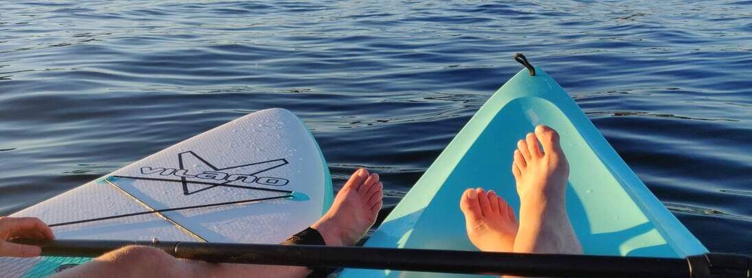 August 18, 2020 - Two days earlier Resa sailed south to Bremerton Marina, passing the inlet to Poulsbo/Liberty Bay, Brownville and Illahee State Park. Our plan was to head North and visit one or each of the above locations but decided to head east thru Rich Passage and explore Blake Island. Erika wrapped up her morning meetings and off went the dock lines. Next stop Blake Island State park (pictured). Motor sailing up the narrow entrance to Rich Passage we began to feel a breeze building from the Southeast. I eagerly switched off the motor and steered to starboard. Out went the jib heeling Resa to port. After a few tacks down the narrow passage we officially sailed into Puget Sound (pictured), Blake Island was dead ahead. We dropped sails and motored up to one of the north end white mooring balls. As I leaned over the bow to snag the ball a 6-8ft I noticed a ship wake bearing down on Resa. Erika heeded the three or four small set mountains rolling our way and turned to face them. It only took a few seconds for Resa to pitch over the relatively massive wakes but we quickly decided to explore the eastern edge of Blake for a more protected spot anyway. On the way an opportunity to check out the island marina for future reference presented itself. Erika piloted Resa between the narrow entrance markers (pictured), and before we knew it a dock host wearing an orange volunteer vest was guiding us towards an open dock space. Oh well, guess we'll explore anchoring Blake another time. We tied up, dawned our face masks and walked to the state park kiosk to register. It was posted that boaters were allowed to stay up to seven nights. We marked down three nights and found out later, due to new Covid regulations, stays were limited to three nights anyway. Perfect for us. 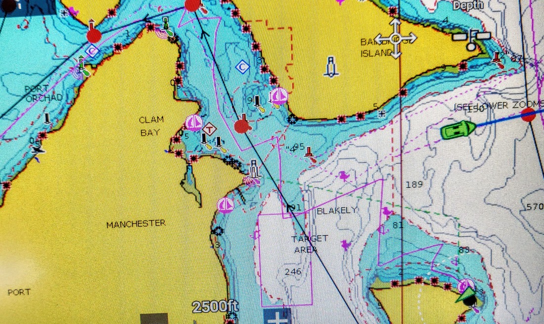 August 19, 2020 - Since it was another work day for Erika, she would be staying aboard (pictured) while Loren and I explored the island. Blake Island's perimeter trail (pictured), about 5 miles long, would be a good start. We broke off the trail at a pay station near the mooring balls along the southern shore (pictured) and continued along the beach. It was low tide so Loren and I had a large, empty, rocky edge of the island to ourselves. Eventually rejoining the main trail near the NW corner, we made the short walk back to the marina. By then Erika was able to take a lunch break. The three of us walked over to the Tillicum cafe' to try the house specials...Steelhead salmon sandwiches and salads. Later in the afternoon, Erika and I hiked one of the two inter-island trails, marked "blue" and "red".. The "blue trail" was well marked but obviously overgrown (pictured). Since January large tour boats out of Seattle, full of hundreds of day passengers, were not running due to covid. The abnormally quiet state park wasn't missed on us. We were grateful to experience the area in semi-solitude usually rife with tourists. 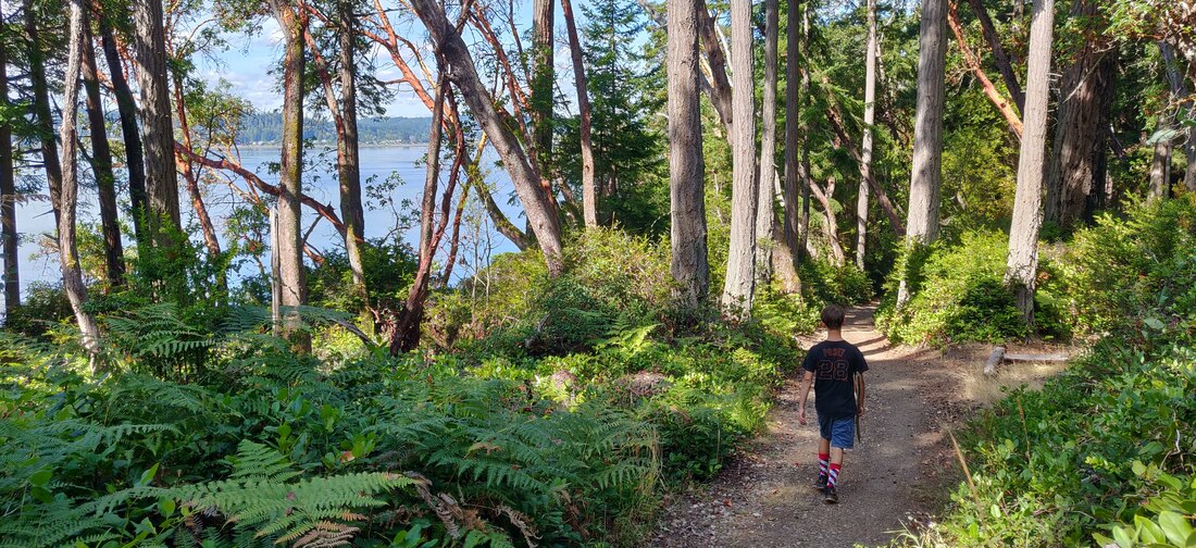 August 20, 2020 - An unstable air mass (wind and rain), was predicted for the following night and into the next day or two. It wasn't the reason we decided to turn north again and make our way home but it started the conversation. About noon the next day we said goodbye to Rich, one of our old dock mates from PA that had sailed in the night before, and pulled out of Blake Island Marina (pictured). With the local winds playing a bit from the NW I plotted a general course for our next stop, Appletree Cove (pictured). Here we would hunker down for the cooler, wetter weather. For the next couple hours we sailed up Admiralty Inlet until Seattle was off our starboard beam (pictured). By then the breeze had faded away. A couple hours later we motored into Kingston Marina in time to watch the rain clouds build above us (pictured). 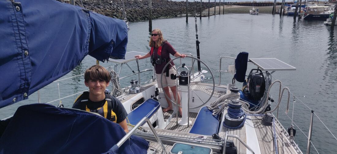 August 20-21, 2020 - We have sailed into Kingston a half dozen times and caught the local ferry a dozen more so it wasn't so much an exciting stay in as much as it was a comfort stop. With bathroom codes and grocery bags in hand, we took a quick shower then topped off our provisions at the grocery store located a brief stroll up the street. Over the next day and a half we enjoyed the sounds of rain sprinkling above our heads, reading and taking short walks, all while preparing to continue our passage northward. August 22, 2020 - It's the weekend and Erika has the whole day to relax on our way back to Port Townsend. The sunny weather and ebb tide made for a pleasant three and a half hour, 25 nm scenic saunter north (pictured). Plan A was to seek out a mooring ball off Fort Worden State Park. The marine chart showed eight moorings available in depths around 18 to 20 feet at mean lower low tide. Charts have proven mostly true to reality but we have observed missing moorings and even the occasional buoy (that's another story!). Anyway, we approached the moorings off the state park and found, in fact eight empty/available mooring balls. Our question was why were there 15 to 20 sailboats anchored a mere 100 meters to the south of the state park..not one employing a single mooring ball. Turns out the large fleet anchored to our south was just about to start a race and NOT avoiding the area for some unpublished and perilous reasons. Taking advantage of the prepaid state park moorage and free nautical entertainment, we grabbed snacks from the galley and cheered the fleet on from the comfort of our cockpit (pictured). Later we dinghied to an empty part of the beach to stretch our legs and... dig holes? (pictured). After dinner, Erika baked up some much appreciated brownies to cap off the night. Soon we were crawling into our bunks to be soothed asleep by the rippling and swishing of the ocean around our hull. 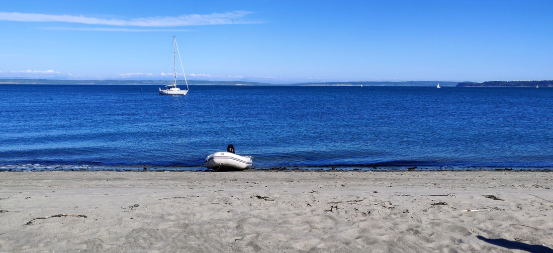 August 23, 2020 - Breaking our fast to another sunny day in the PNW, we cast off our mooring lines and started our haul westward passing Point Wilson lighthouse to port and Point Wilson buoy to starboard (pictured). Five hours and 30 nautical miles later Resa found her spot back in the marina she calls home. Guess now its time to clean up a house we charged two bachelors to take care of. Or maybe next time Erika and I will forget to turn into PA and keep going ;) - Keith 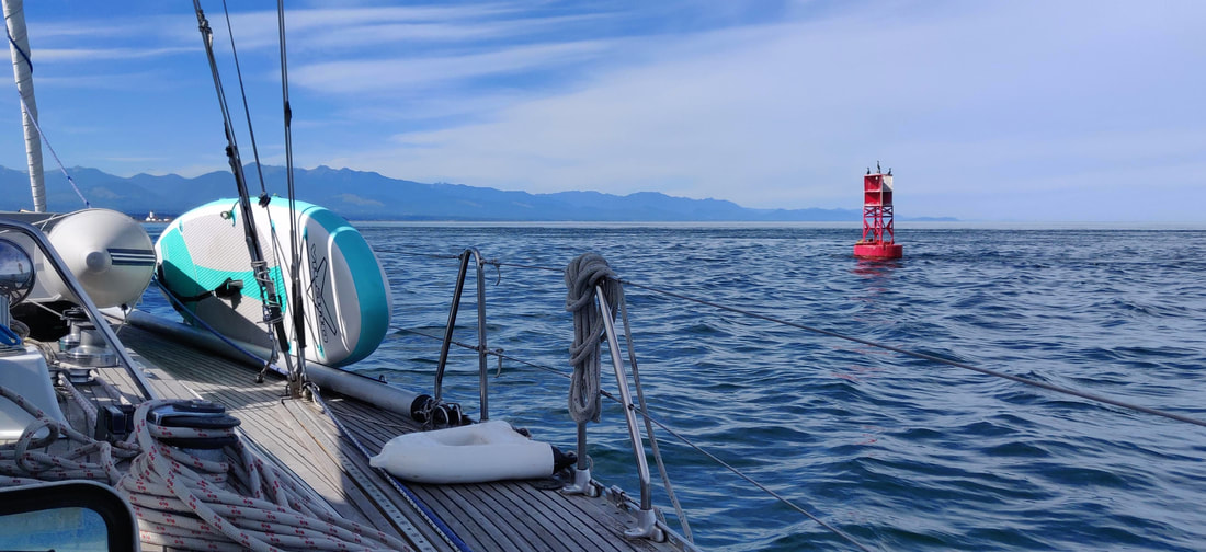 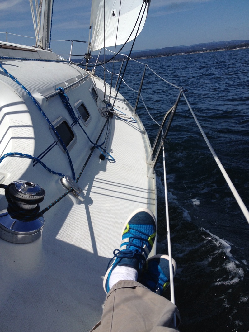   Leaving Steadfast in the hands of the broker, I beat it back to Santa Cruz for some cold water work and recreation. Over the years I've developed an appetite for teaching sailing and marine science....and I was hungry. Setting up a weekly schedule with the O'Neill Sea Odyssey aboard the O'Neill catamaran along with a few ASA lessons thrown in here and there via Pacific Yachting, I was a happy camper or more appropriately..... a happy marine science/sailing instructor.
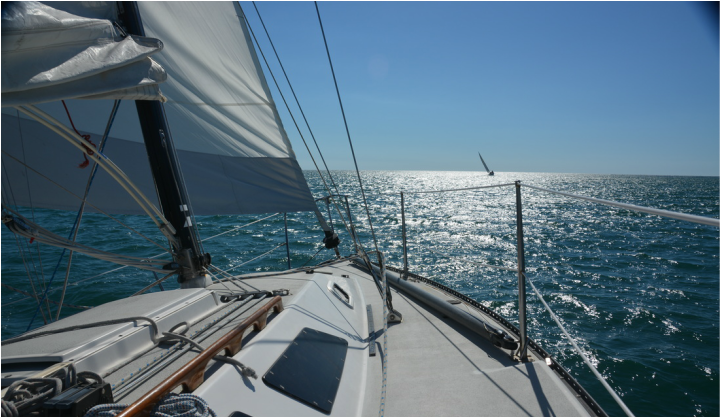 Aboard Avatar, an Olson 911E Aboard Avatar, an Olson 911E My February hegira west seemed a bit premature this year. Leaving the snow covered Rocky Mts. for drought stricken California seemed somewhat malapropros. I mean I barely had a chance to use my season snowboarding pass . But as usual, the siren song of the sea had to be quelled. To help matters, my nephew Ethan, a recent college grad, booked an early date with "Uncle Keith's Discount Sailing School". So, once again, I traded in my powder pants for board shorts and headed out to sunny Santa Cruz. By March 1st, Ethan and I were reaching across the Monterey Bay with a double reef main in a cool 20 knot breeze. (Top Photo)
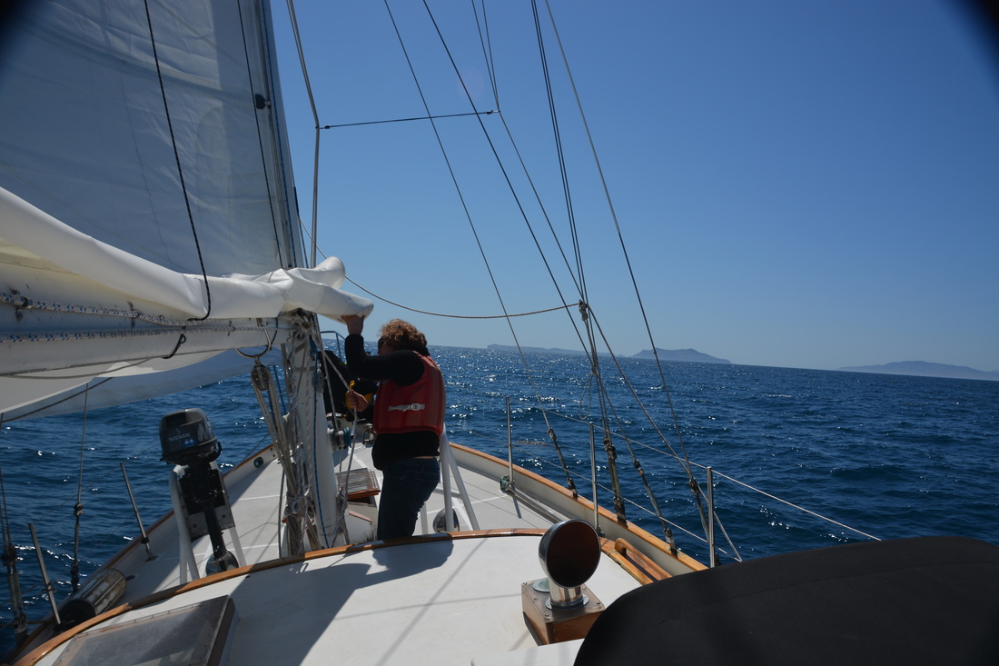
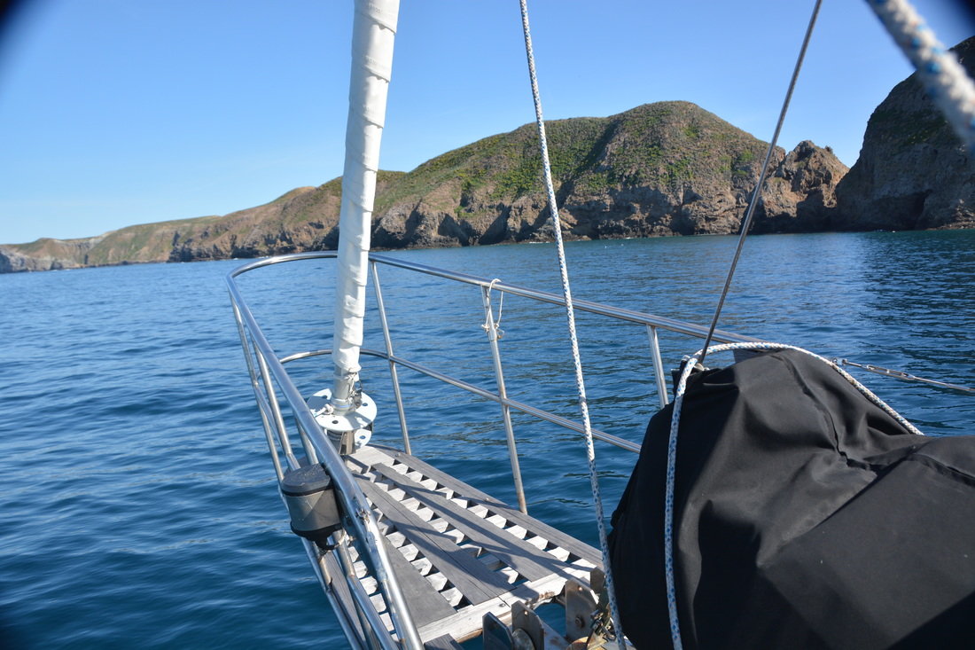
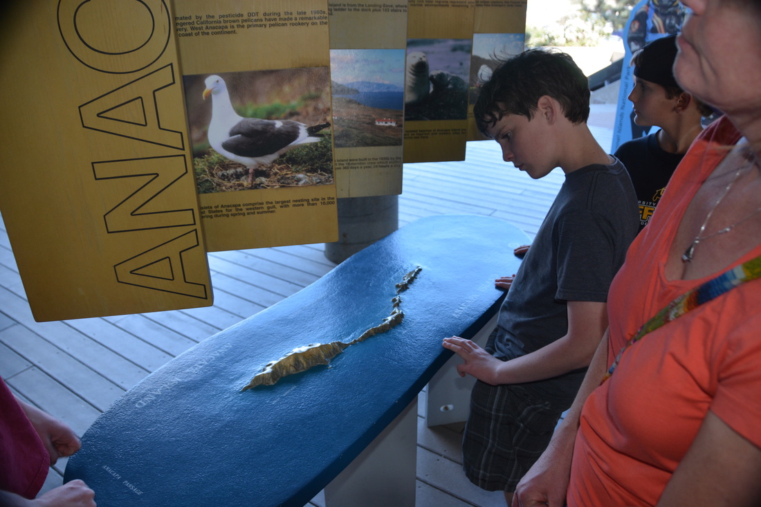
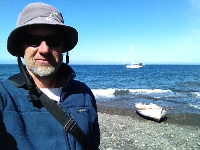
Three weeks later, it was time to enjoy the fruits of my labor. The March 25th forecast for the Santa Barbara Channel; 10-20 NW winds settling to 10-15 knots in the afternoon, seas 3-5 feet, chance of rain...0%. Anacapa Island, at closest approach, is about 10 nautical miles from Channel Islands Marina. Our destination for the day was 13 nm southwest, Frenchy's Cove. By 1300 hrs Steadfast passed the "1" green marker off her starboard side. With light winds and full sails we approached the shipping channel at a leisurely pace. But whitecaps appeared mid-channel ordering Erika and I to tuck in a reef for a more comfortable ride to windward. Near the island the wind all but disappeared. After setting the hook, the boys and I dawned our birthday suits and ceremoniously dove in the cool offshore waters.
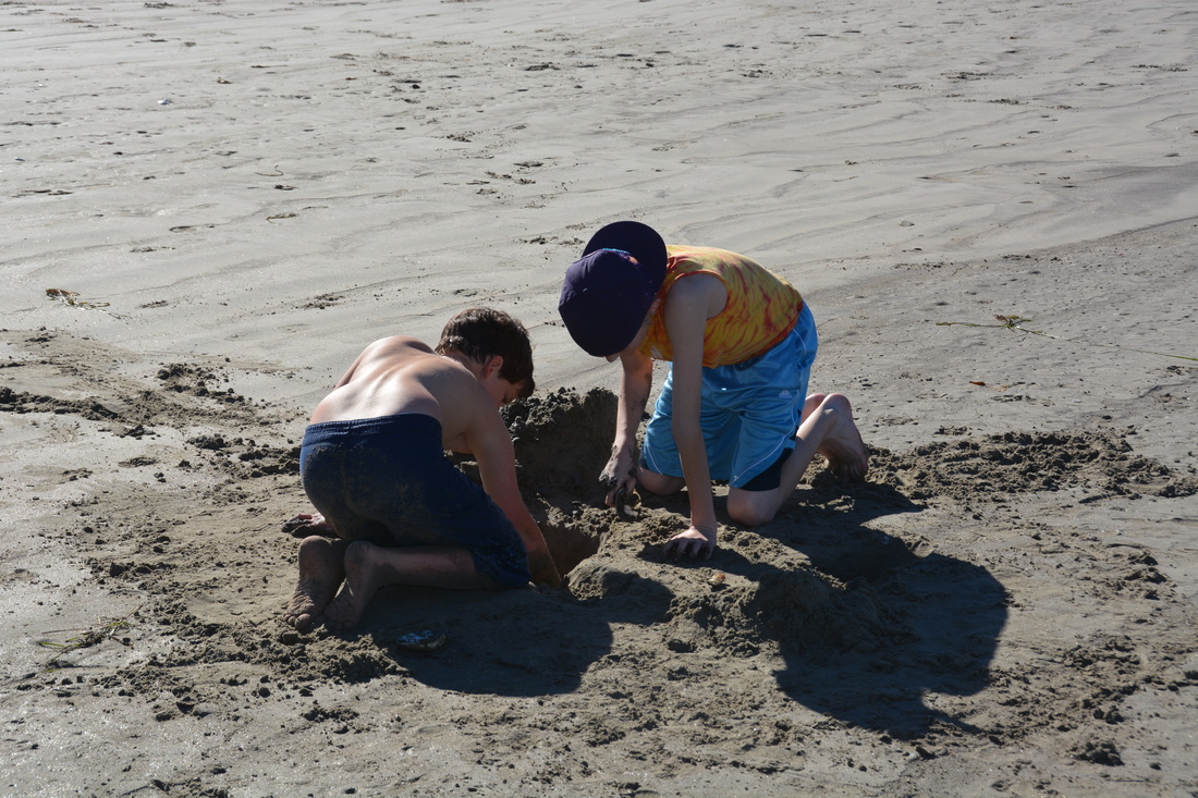
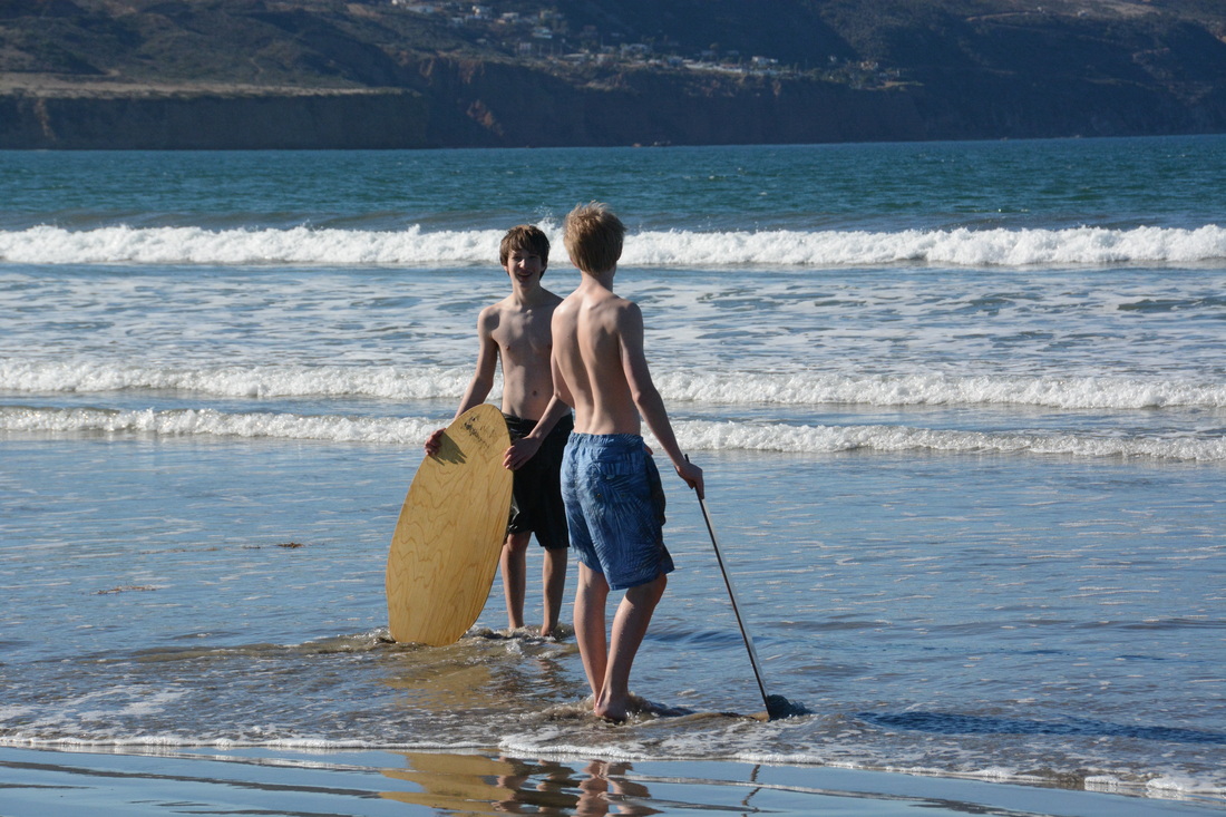
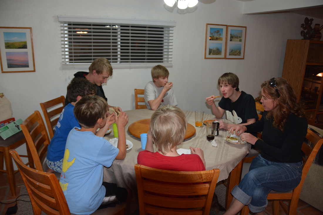
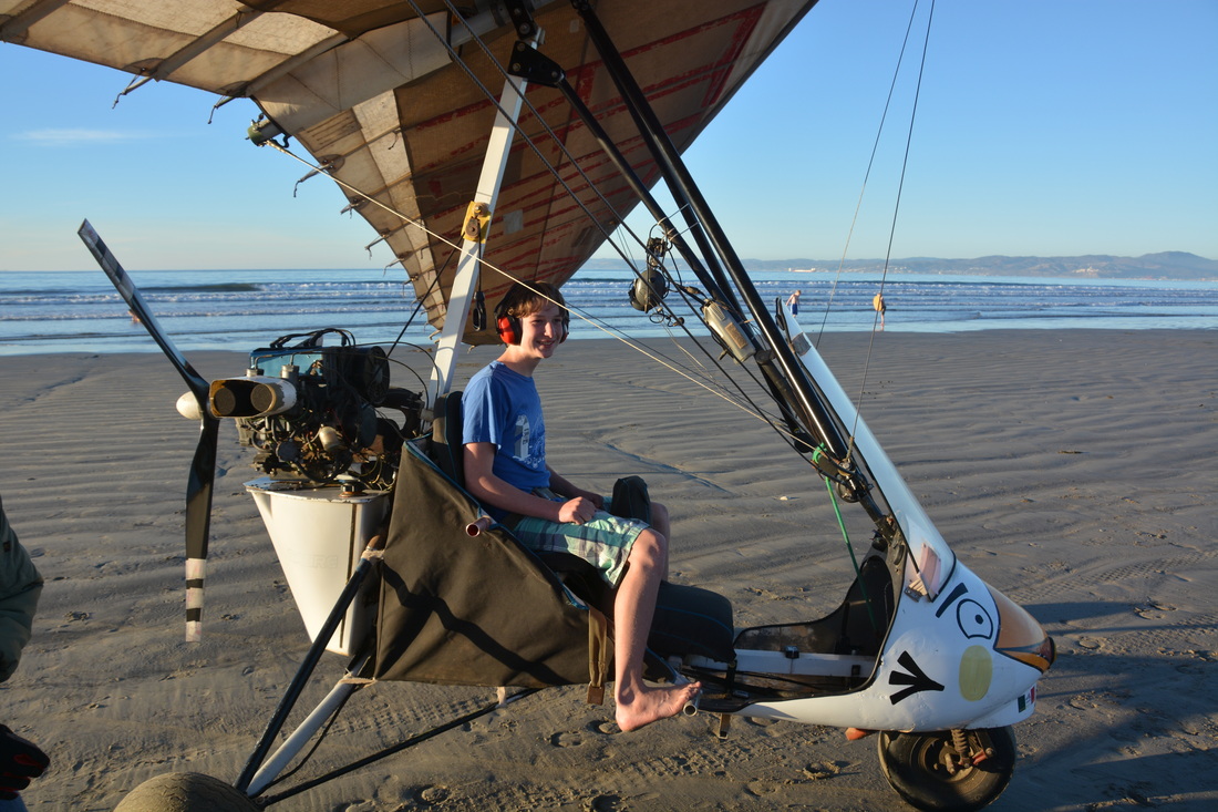
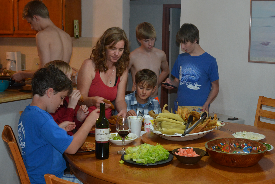
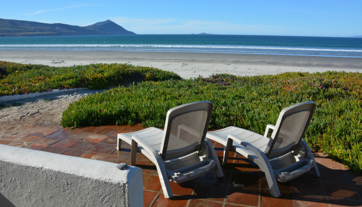  Day One: By 2pm Saturday afternoon, our favorite family from Boulder, Colorado pulled into Chula Vista ready to start their holiday break. We roused all the boys into the marina swimming pool before the drive down to Ensenada. While the ninos were wrestling in the water (right - Leif and Elliot), Erika and Kathy slapdashed to the supermarket for a weeks worth of supplies. Before the clock struck four, seven boys, four adults and two dogs were truck'n across the border into manana-land and another Mexican adventure. Upon arrival the adults immediately seized the beach house (above) and relinquished the "back" house to the teens! 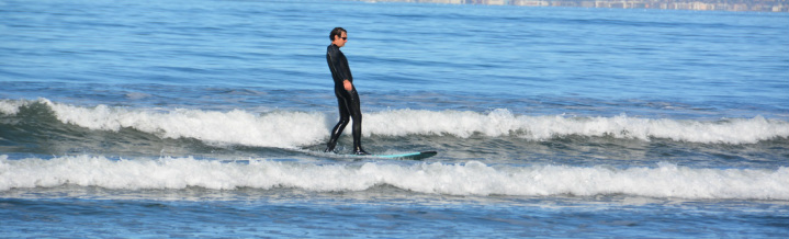 Day Two: Sunday morning found everyone, eventually, migrating the few steps down to the beach to soak up some southern Ensenada sun. It didn't take long to notice the consistent beach breakers before us. I swiftly suited up, grabbed my long-board and hit the small but pleasant surf along the beach. After a long day beach-combing, surfing, body-boarding, digging, and dog-walking, it was time to relax in our vacation villa whilst savoring a few cervazas (see picture below). 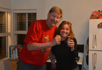 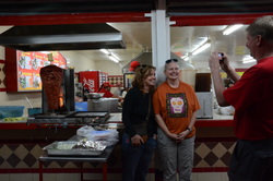 Day 3: On Monday the parents deserted all the kids for a day in downtown Ensenada. Since there was zero cell-service, we were trying not to use our imagination while thinking about what the kids were up to for six hours. We were very pleased upon our return that everyone was accounted for, especially Loren and Elliot. After a fun day at the beach the nino's were muy contendo when we pulled up to the beach house bearing 50 tacos from a hip outdoor taco bar in southern Ensenda. (far right) While in town we also stopped at the local grocers to re-supplied the pantry and pick up a Christmas tree... 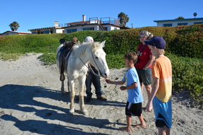 Day 4: The fourth day we added horse and ultralight aircraft riding to our beach adventures. Erika invited River, Loren and Elliot for a horse ride along the six mile beach (left) while Mason and Leif earned some air-time flying over the Punta Banda area aboard a local ultralight piloted by Mexican pilot, Zune! (lower left and below) Later Kathy and Erika scored 50 tamales from Punta Banda's local "cocineros". (lower right)  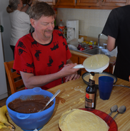 Day 5: Dia de Navidad! Waking up to four giant bay windows overlooking sunny Bahia Todos los Santos was a real Christmas gift (see top picture). And eating Dave's traditional homemade crepe's (and Kathy's assortment of fillings) for Christmas brunch was a huge treat. (left) Relaxing in the morning, eating and playing board games the rest of the day made for an incredible Bajaliday! 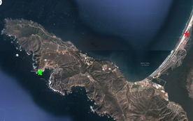 Day 6: La Bufadora - Erika heard about this very popular tourist attraction just a few minutes drive from where we were staying. Basically, its a marine geyser or blowhole, and when the swell and tide are right just- boom, water shoots straight up. The picture to the left shows the region where our beach house (red star) and La Bufadora (green star) are located. Below, the gang taking a break from window shopping along the street market that runs into the staging area for the geyser. On a good day the geyser can shoot hundreds of feet high. Overall, it was a worthwhile field-trip. But it was nice to get back to the beach, throw the boards in the water and catch a few more waves before heading home the next day. Happy New Year! 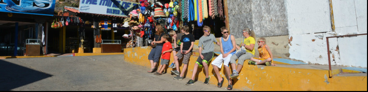 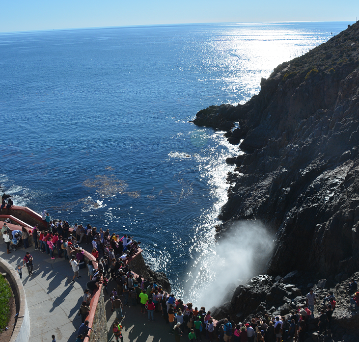 If you enjoy birds, especially seabirds, check out my new page "Coastal Birds" - K.D. 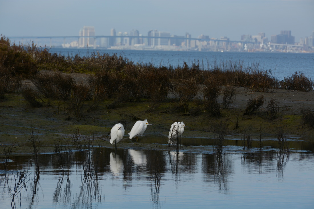 |
AuthorA UCSC graduate in Marine Biology, Keith holds a 100 ton USCG Capt. License and is an ASA/US sailing certified instructor. Archives
March 2022
Categories |

























 RSS Feed